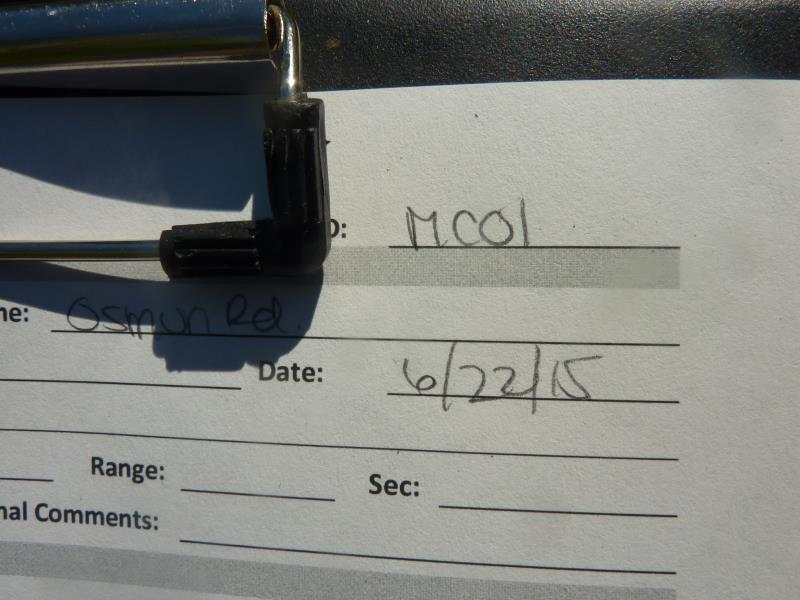
Road Stream Crossing Site UBR_MC01
Upper Black River Watershed, Lewis Branch Adair Creek
Osmun Rd
Walker Twp,
Cheboygan County
Information collected by:
Site Location
GPS Coordinates: 45.3046
, -84.40439
T34N
R1W
Sec 26
Owned by State
Fish Passability 0.9
Structure is NOT Perched
Total Erosion: 1.9113 tons/year
Severity: Moderate
Year Inventoried: 2015
Site ID
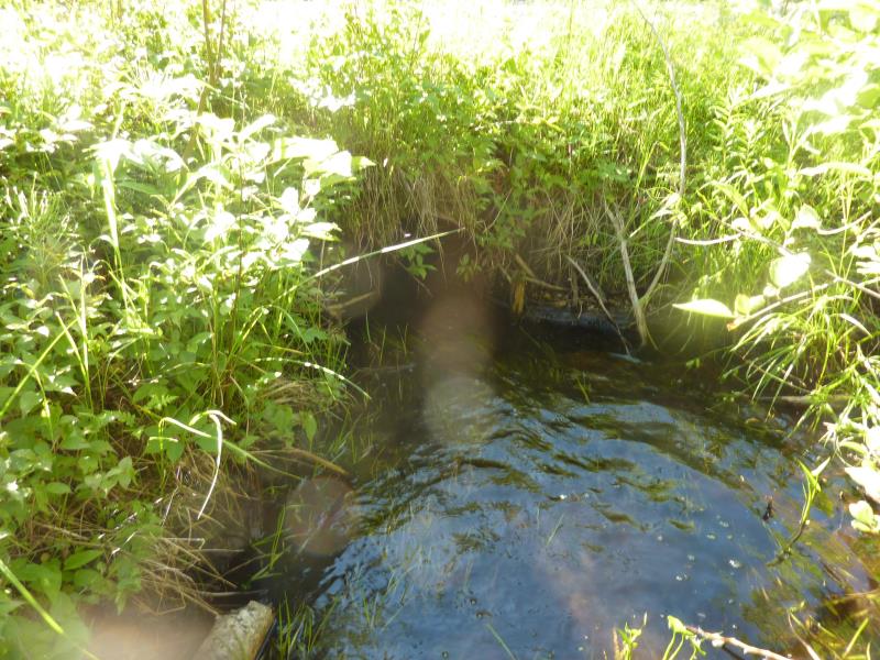
Inlet
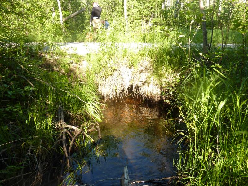
Outlet
Upstream Conditions
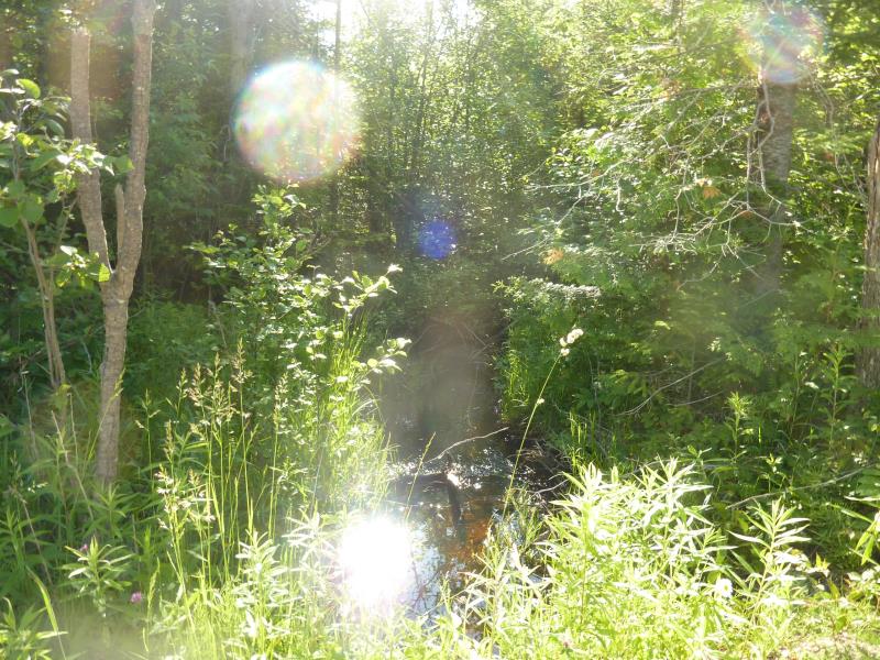
Downstream Conditions
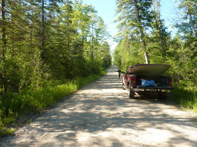
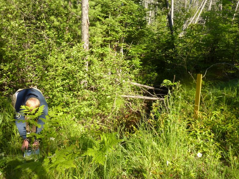
Road Approach - Right
Road Approach - Left
Crossing Information
Type of Crossing: culvert(s)
Number of Structures: 1
Structure Shape: Round
Inlet Type: Projecting
Outlet Type: At Stream Grade
Structure Material: Metal
Structure Substrate: None
General Conditions: Good
Structure Interior: corrugated
Dimensions of Structure: Length 24 ft.
, Width 2 ft.
, Height 2 ft.
Structure is NOT Perched
Structure Inlet
Water Depth: 0.7 ft.
Embedded Depth of Structure: 0.2 ft.
Water Velocity*: 0.1 ft./sec.
Structure Outlet
Water Depth: 0.7 ft.
Embedded Depth of Structure: 0.2 ft.
Water Velocity*: 0.1 ft./sec.
*Water Velocities were measured 0.4 ft. below Surface
(with Meter)
Stream Information
Stream Flow: Less than Bankfull
Scour Pool: Length 0 ft.
, Width 0 ft.
, Depth 0 ft.
Upstream Pond: Length 0 ft.
, Width 0 ft.
, Depth 0 ft.
Riffle Information
Water Depth: 0.3 ft.
Bankfull Width: 7 ft.
Wetted Width: 6.2 ft.
Water Velocity: 0.1 ft./sec.
(Measured with Meter)
Dominant Substrate: Sand
Road Information
Gravel
County Road
Road Condition: Fair
Road Width at Culvert: 18 ft.
Location of Low Point: At Stream
Runoff Path: Ditch
Embankments
Upstream
Fill Depth: 1.1 ft.
Slope: Vertical
Downstream
Fill Depth: 1.7 ft.
Slope: 1:1.5
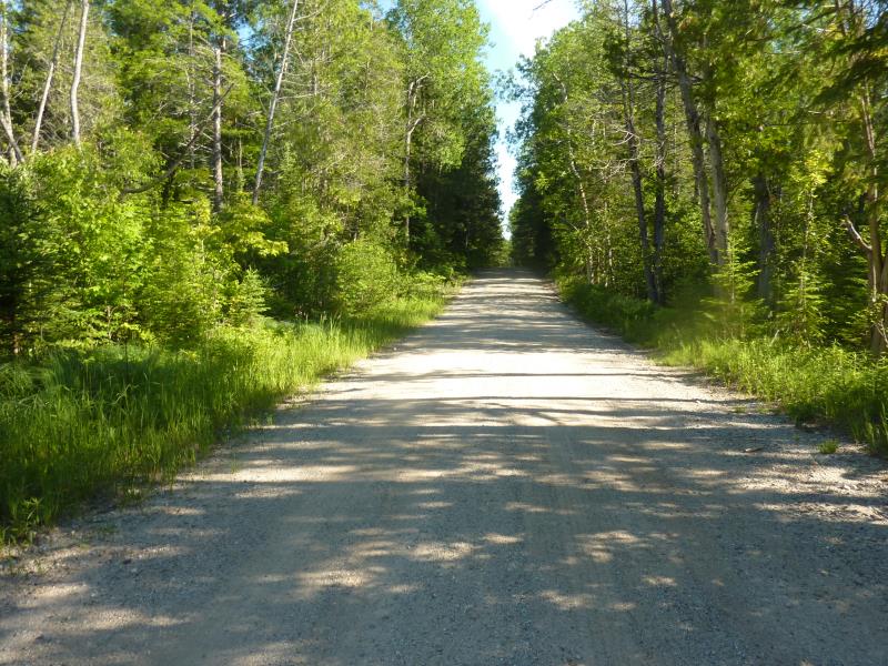
Approaches
Left Approach
Length: 512.3 ft.
Slope: 1% to 5%
Vegetation: Heavy
LS Factor: 0.502
Erosion: 1.2764 tons/year
Right Approach
Length: 276.6 ft.
Slope: 1% to 5%
Vegetation: Heavy
LS Factor: 0.451
Erosion: 0.6181 tons/year
Erosion Information
Total Erosion at Crossing: 1.9113 tons/year
Extent of Erosion: Moderate
Location of Erosion | Erosion Dimensions | Eroded Material | Material Eroded | Total Erosion | ||
facing downstream | Length | Width | Depth | Reaching Stream? | (tons/year) | |
Right Downstream Streambank |
2.4 ft. |
2 ft. |
1 ft. |
yes |
Gravel |
0.0168 |
Summary Information
Fish Passability 0.9
�