Road Stream Crossing Site UBR_MC02
Upper Black River Watershed, Gokee Creek
Walker Rd
Walker Twp,
cheboygan County
Information collected by:
Site Location
GPS Coordinates: 45.34364
, -84.42109
T34N
R1W
Sec 10, 15
Owned by Private
State
State
Fish Passability 1
Structure is NOT Perched
Total Erosion: 3.5603 tons/year
Severity: Severe
Year Inventoried: 2015
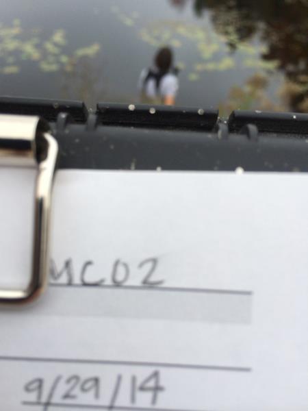
Site ID
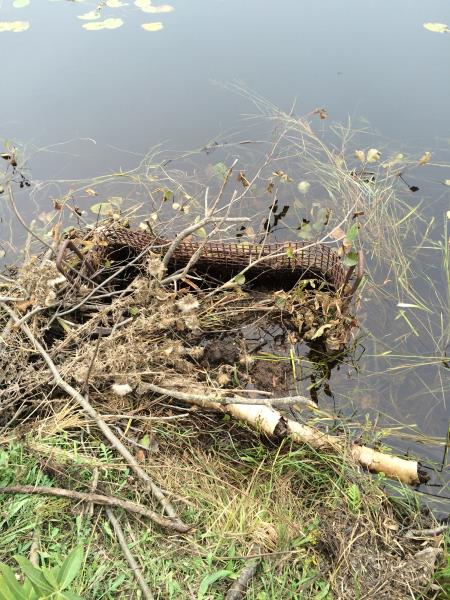
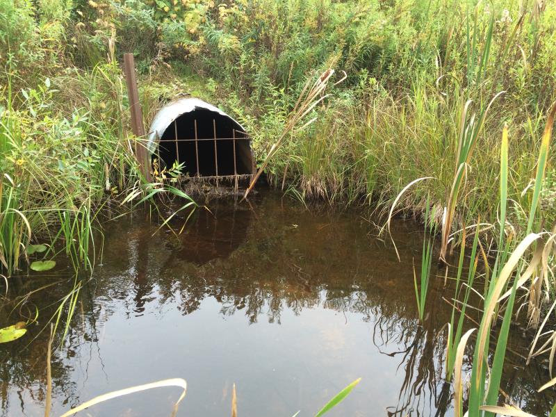
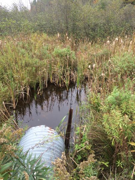
Inlet
Outlet
Upstream Conditions
Downstream Conditions
Road Approach - Right
Road Approach - Left
Crossing Information
Type of Crossing: culvert(s)
Number of Structures: 1
Structure Shape: Round
Inlet Type: Trash Rack
Outlet Type: At Stream Grade
Structure Material: Metal
Structure Substrate: Mixture
General Conditions: Poor
Structure Interior: corrugated
Dimensions of Structure: Length 64 ft.
, Width 3.5 ft.
, Height 2 ft.
Percentage Plugged:
Inlet: 76% to 100%
Outlet: 26% to 50%
In Pipe: 0%
Structure is NOT Perched
Structure Inlet
Water Depth: 1.5 ft.
Embedded Depth of Structure: 1 ft.
Water Velocity*: 0.1 ft./sec.
Structure Outlet
Water Depth: 1.3 ft.
Embedded Depth of Structure: 0 ft.
Water Velocity*: 0.5 ft./sec.
*Water Velocities were measured at the Surface
(with Meter)
Stream Information
Stream Flow: Less than 1/2 Bankfull
Scour Pool: Length 0 ft.
, Width 0 ft.
, Depth 0 ft.
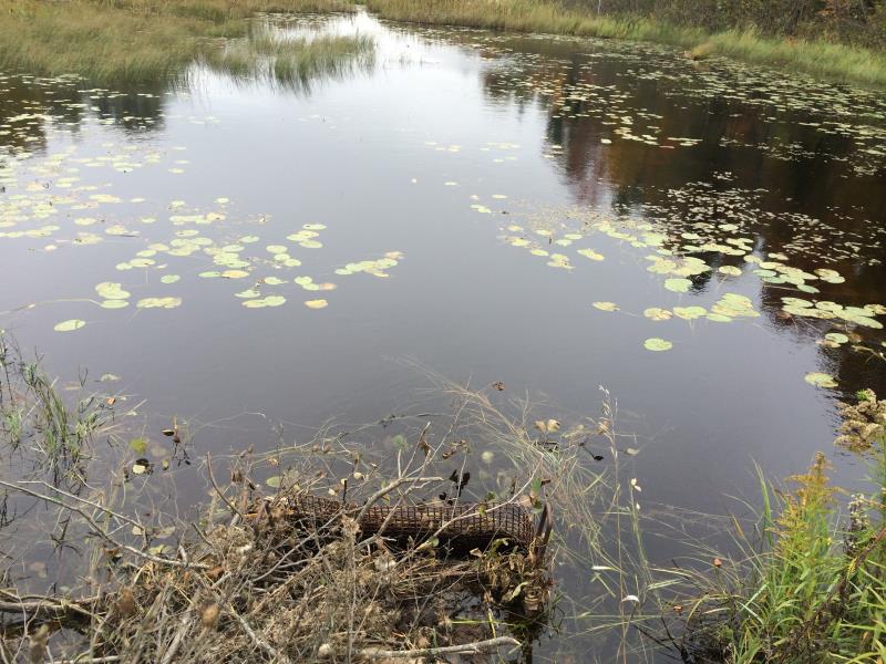
Upstream Pond: Length 120 ft.
, Width 150 ft.
, Depth 0 ft.
Riffle Information
Water Depth: 0.4 ft.
Bankfull Width: 7 ft.
Wetted Width: 4.5 ft.
Water Velocity: 0.1 ft./sec.
(Measured with Meter)
Dominant Substrate: Organics
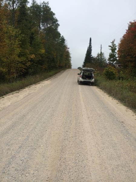
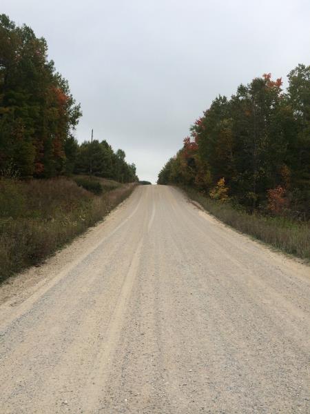
Road Information
Gravel
County Road
Road Condition: Good
Road Width at Culvert: 24.8 ft.
Location of Low Point: At Stream
Runoff Path: Ditch
Embankments
Upstream
Fill Depth: 5 ft.
Slope: 1:2
Downstream
Fill Depth: 5 ft.
Slope: More than 1:2
Approaches
Left Approach
Length: 556 ft.
Slope: 1% to 5%
Vegetation: Heavy
LS Factor: 0.511
Erosion: 1.9418 tons/year
Right Approach
Length: 478 ft.
Slope: 1% to 5%
Vegetation: Heavy
LS Factor: 0.496
Erosion: 1.6185 tons/year
Erosion Information
Total Erosion at Crossing: 3.5603 tons/year
Summary Information
Fish Passability 1
Fish Passage is an area of concern for this site.
Trash rack 90% plugged
A future visit to this site is recommended. Fish passage barrier- either regularly clear debris, or remove trash rack
These non-native species were observerd at this site: Spotted Knapweed, Purple Loosestrife
�