Road Stream Crossing Site UBR_MC04
Upper Black River Watershed, Gokee Creek
Osmun Rd
Walker Twp,
Cheboygan County
Information collected by:
Site Location
GPS Coordinates: 45.34222
, -84.38924
T34N
R1W
Sec 13, 14
Owned by Private
Fish Passability 0.9
Structure is NOT Perched
Total Erosion: 25.978 tons/year
Severity: Severe
Year Inventoried: 2015
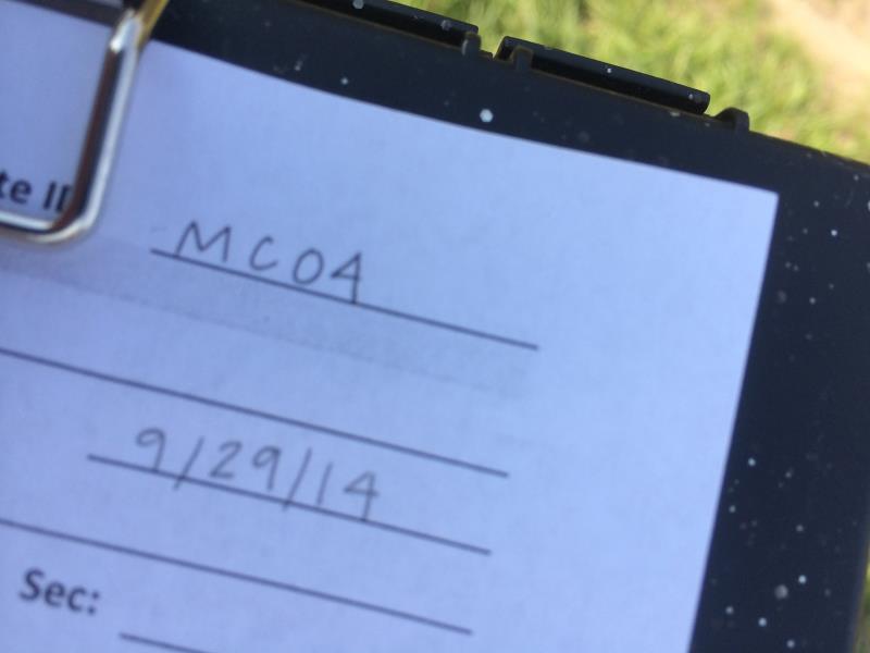
Site ID
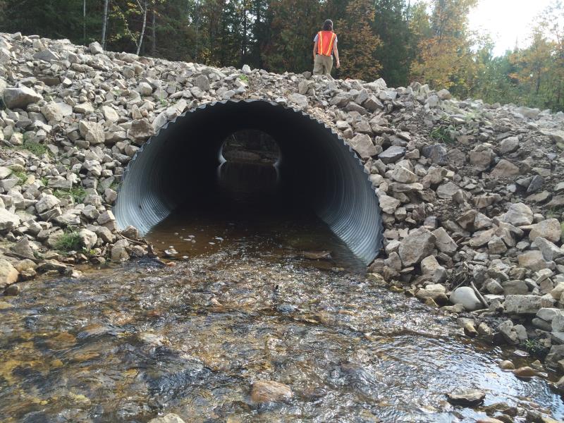
Inlet
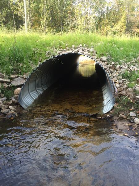
Outlet
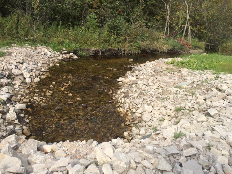
Upstream Conditions
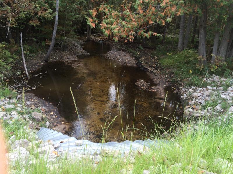
Downstream Conditions
Road Approach - Right
Road Approach - Left
Crossing Information
Type of Crossing: culvert(s)
Number of Structures: 1
Structure Shape: Round
Inlet Type: Wingwall 10-30 Degree
Outlet Type: At Stream Grade
Structure Material: Metal
Structure Substrate: Sand
General Conditions: Good
Structure Interior: corrugated
Dimensions of Structure: Length 37 ft.
, Width 6 ft.
, Height 4.5 ft.
Percentage Crushed:
Inlet: 0%
Outlet: 0%
In Pipe: 1% to 25%
Structure is NOT Perched
Structure Inlet
Water Depth: 0.7 ft.
Embedded Depth of Structure: 0.2 ft.
Water Velocity*: 0.8 ft./sec.
Structure Outlet
Water Depth: 0.5 ft.
Embedded Depth of Structure: 0.2 ft.
Water Velocity*: 0.6 ft./sec.
*Water Velocities were measured at the Surface
(with Meter)
Stream Information
Stream Flow: Less than 1/2 Bankfull
Scour Pool: Length 0 ft.
, Width 0 ft.
, Depth 0 ft.
Upstream Pond: Length 0 ft.
, Width 0 ft.
, Depth 0 ft.
Riffle Information
Water Depth: 0.6 ft.
Bankfull Width: 14 ft.
Wetted Width: 7.8 ft.
Water Velocity: 0.3 ft./sec.
(Measured with Meter)
Dominant Substrate: Gravel
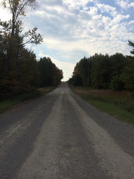
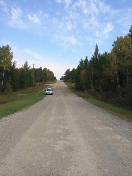
Road Information
Gravel
County Road
Road Condition: Fair
Road Width at Culvert: 23 ft.
Location of Low Point: At Stream
Runoff Path: Roadway
Embankments
Upstream
Fill Depth: 1 ft.
Slope: 1:1.5
Downstream
Fill Depth: 1 ft.
Slope: 1:1.5
Approaches
Left Approach
Length: 1000 ft.
Slope: 6% to 10%
Vegetation: Heavy
LS Factor: 2.05
Erosion: 12.989 tons/year
Right Approach
Length: 1000 ft.
Slope: 6% to 10%
Vegetation: Heavy
LS Factor: 2.05
Erosion: 12.989 tons/year
Erosion Information
Total Erosion at Crossing: 25.978 tons/year
Summary Information
Fish Passability 0.9
These non-native species were observerd at this site: Spotted Knapweed
�