Road Stream Crossing Site UBR_MC04B
Upper Black River Watershed, Tributary to Weed Creek
Osmun Rd
Walker Twp,
Cheboygan County
Information collected by:
Site Location
GPS Coordinates: 45.33253
, -84.38944
T34N
R1W
Sec 26
Owned by Private
State
State
Fish Passability 0
Perch Height: 0.5 ft.
Total Erosion: 0.0165 tons/year
Severity: Severe
Year Inventoried: 2015
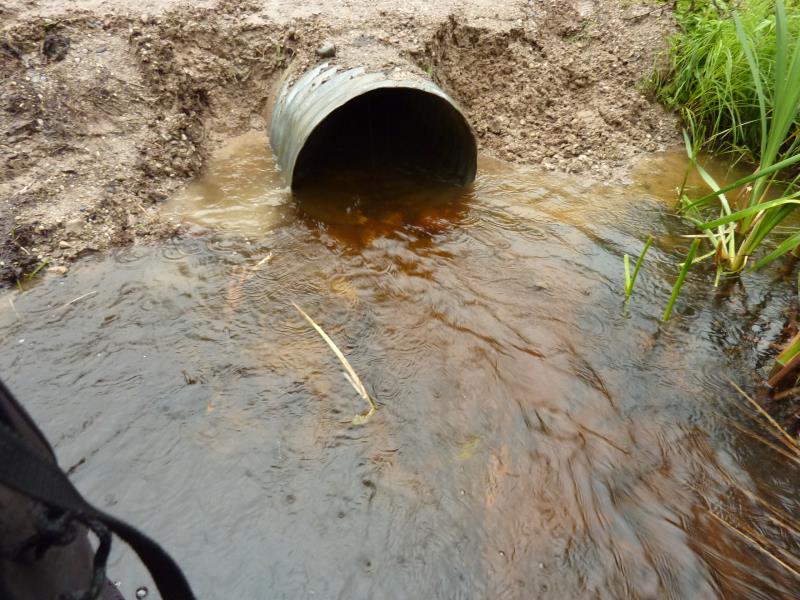
Inlet
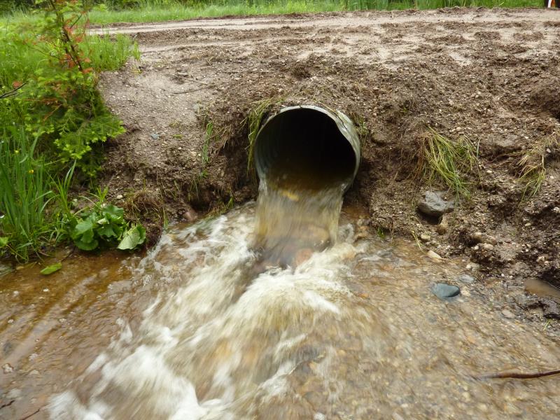
Outlet
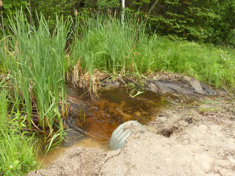
Upstream Conditions
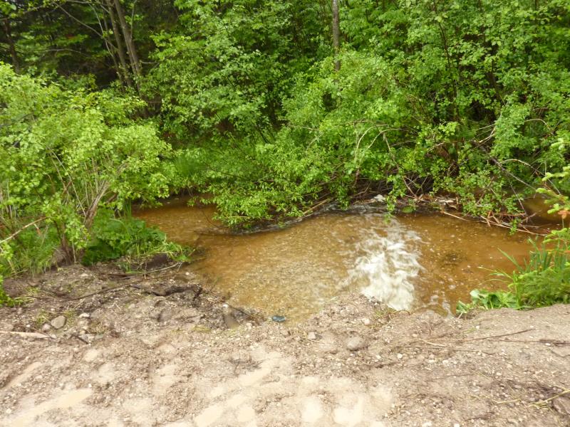
Downstream Conditions
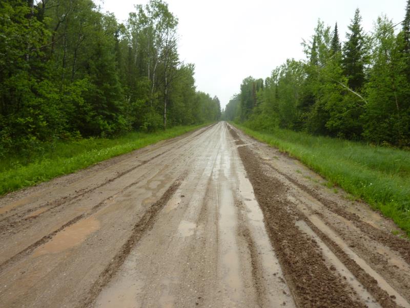
Road Approach - Right
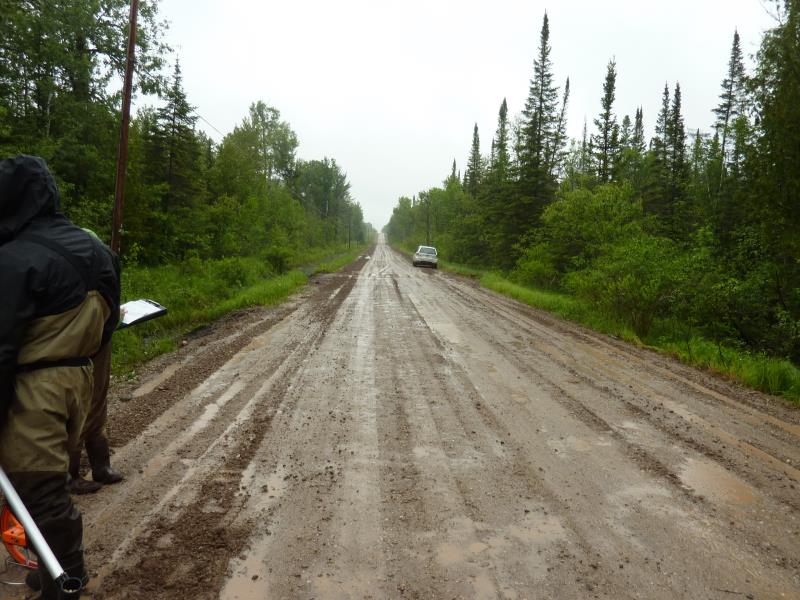
Road Approach - Left
Crossing Information
Type of Crossing: culvert(s)
Number of Structures: 1
Structure Shape: Round
Inlet Type: Projecting
Outlet Type: Cascade over Riprap
Structure Material: Metal
Structure Substrate: None
General Conditions: New
Structure Interior: corrugated
Dimensions of Structure: Length 29 ft.
, Width 2 ft.
, Height 2 ft.
Perch Height: 0.5 ft.
Structure Inlet
Water Depth: 1 ft.
Embedded Depth of Structure: 0 ft.
Water Velocity*: 2.8 ft./sec.
Structure Outlet
Water Depth: 0.75 ft.
Embedded Depth of Structure: 0 ft.
Water Velocity*: 5.5 ft./sec.
*Water Velocities were measured 0.6 ft. below Surface
(with Meter)
Additional Comments
Culvert installed within the past week
Stream Information
Stream Flow: Less than Bankfull
Scour Pool: Length 17.5 ft.
, Width 17 ft.
, Depth 0.7 ft.
Upstream Pond: Length 10.5 ft.
, Width 6 ft.
, Depth 1.1 ft.
Riffle Information
Water Depth: 0.8 ft.
Bankfull Width: 9.5 ft.
Wetted Width: 8.1 ft.
Water Velocity: 1.3 ft./sec.
(Measured with Meter)
Dominant Substrate: Sand
Road Information
Gravel
County Road
Road Condition: Fair
Road Width at Culvert: 21.4 ft.
Location of Low Point: Other
Runoff Path: Ditch
Embankments
Upstream
Fill Depth: 0.25 ft.
Slope: 1:1.5
Downstream
Fill Depth: 0.3 ft.
Slope: 1:1.5
Approaches
Left Approach
Length: 0 ft.
Slope: Less Than 1%
Vegetation: Partial
LS Factor: 0.05
Erosion: 0 tons/year
Right Approach
Length: 0 ft.
Slope: Less Than 1%
Vegetation: Partial
LS Factor: 0.05
Erosion: 0 tons/year
Erosion Information
Total Erosion at Crossing: 0.0165 tons/year
Extent of Erosion: Minor
Erosion is occurring and corrective actions can be installed to address the problem.
Notes: Road material
Location of Erosion | Erosion Dimensions | Eroded Material | Material Eroded | Total Erosion | ||
facing downstream | Length | Width | Depth | Reaching Stream? | (tons/year) | |
Right Downstream Embankment |
15 ft. |
4 ft. |
0.5 ft. |
yes |
Gravelly Loam |
0.0075 |
Right Upstream Embankment |
18 ft. |
3 ft. |
0.5 ft. |
yes |
Gravelly Loam |
0.009 |
Summary Information
Fish Passability 0
Fish Passage is an area of concern for this site.
Stream velocity at outlet, perched culvert
�