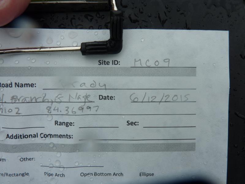
Road Stream Crossing Site UBR_MC09
Upper Black River Watershed, Milligan Creek
Brady Rd
Waverly Twp,
Cheboygan County
Information collected by:
Site Location
GPS Coordinates: 45.37102
, -84.36907
T35N
R1E
Sec 31
Owned by Private
State
State
Fish Passability 0
Structure is NOT Perched
Total Erosion: 0.3907 tons/year
Severity: Severe
Year Inventoried: 2015
Site ID
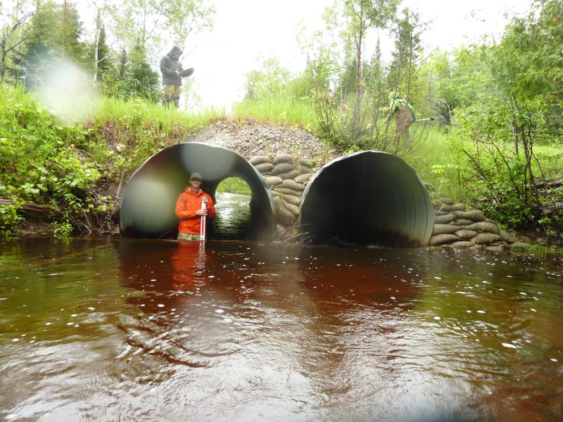
Inlet
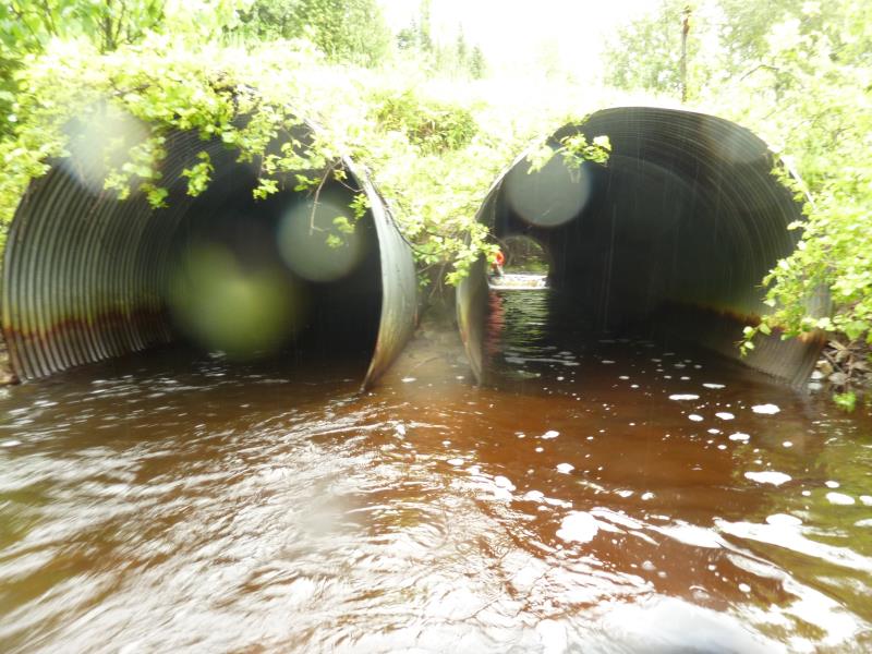
Outlet
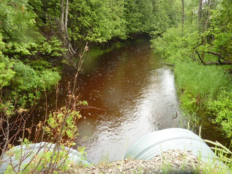
Upstream Conditions
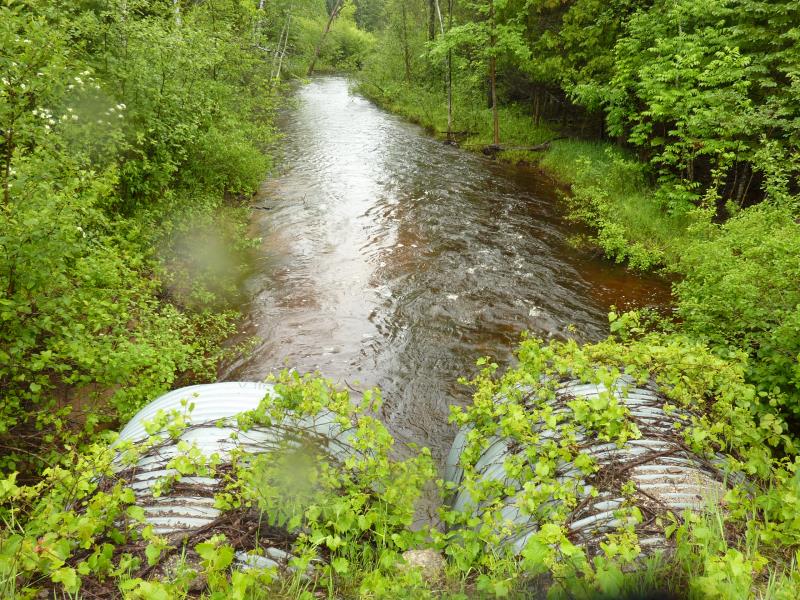
Downstream Conditions
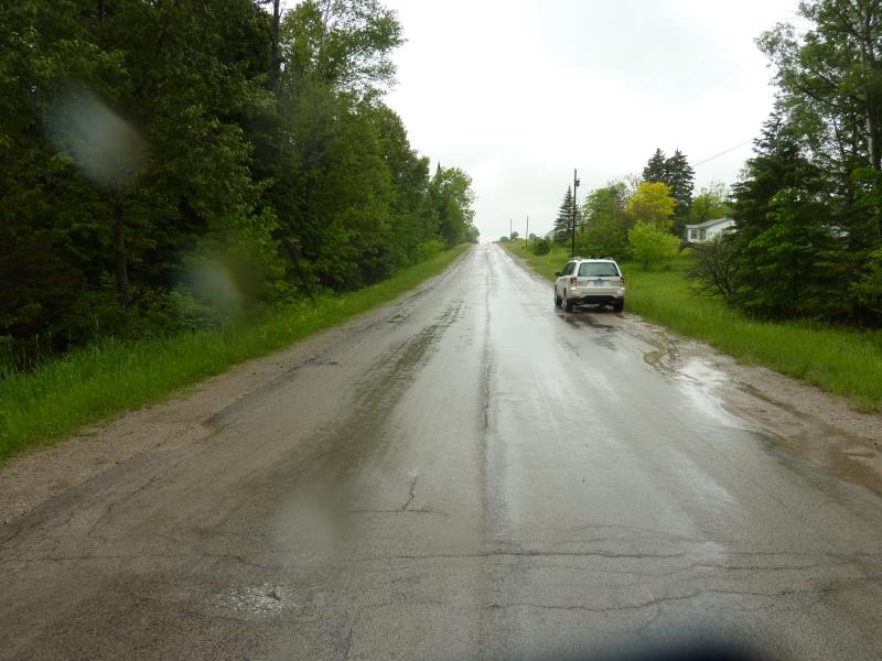
Road Approach - Right
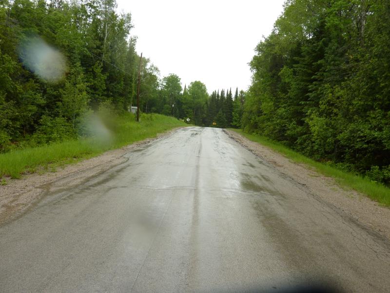
Road Approach - Left
Crossing Information
Type of Crossing: culvert(s)
Number of Structures: 2
Structure Shape: Round
Inlet Type: Projecting
Outlet Type: At Stream Grade
Structure Material: Metal
Structure Substrate: None
General Conditions: Good
Multiple Culverts/Spans | ||||
Culvert/Span | Width | Length | Height | Material |
2 |
7.2 ft. |
62.5 ft. |
7.2 ft. |
Metal |
Structure Interior: corrugated
Dimensions of Structure: Length 62.5 ft.
, Width 7.2 ft.
, Height 7.2 ft.
Percentage Plugged:
Inlet: 1% to 25%
Outlet: 0%
In Pipe: 0%
Structure is NOT Perched
Structure Inlet
Water Depth: 2.2 ft.
Embedded Depth of Structure: 0 ft.
Water Velocity*: 4.9 ft./sec.
Structure Outlet
Water Depth: 2.2 ft.
Embedded Depth of Structure: 0 ft.
Water Velocity*: 5.4 ft./sec.
*Water Velocities were measured 1.2 ft. below Surface
(with Meter)
Additional Comments
the bank is undercutting at the inlet
Stream Information
Stream Flow: More than Bankfull
Scour Pool: Length 66 ft.
, Width 31 ft.
, Depth 2.8 ft.
Upstream Pond: Length 30.5 ft.
, Width 70 ft.
Riffle Information
Water Depth: 2.1 ft.
Bankfull Width: 39 ft.
Wetted Width: 38 ft.
Water Velocity: 1.2 ft./sec.
(Measured with Meter)
Dominant Substrate: Sand
Road Information
Paved
County Road
Road Condition: Fair
Road Width at Culvert: 22.5 ft.
Location of Low Point: At Stream
Runoff Path: Ditch
Embankments
Upstream
Fill Depth: 2.6 ft.
Slope: More than 1:2
Downstream
Fill Depth: 4.3 ft.
Slope: More than 1:2
Approaches
Left Approach
Length: 781.3 ft.
Slope: 1% to 5%
Vegetation: Heavy
LS Factor: 0.547
Erosion: 0.318 tons/year
Right Approach
Length: 224.7 ft.
Slope: 1% to 5%
Vegetation: Heavy
LS Factor: 0.435
Erosion: 0.0727 tons/year
Erosion Information
Total Erosion at Crossing: 0.3907 tons/year
Extent of Erosion: Stabilized
Summary Information
Fish Passability 0
Fish Passage is an area of concern for this site.
high water velocity
A future visit to this site is recommended. bank undercutting at the inlet, high water velocity=fish passage barrier
�