Road Stream Crossing Site UBR_MC11
Upper Black River Watershed, Milligan Creek
Northeastern State Trail
Waverly Twp,
Cheboygan County
Information collected by:
Site Location
GPS Coordinates: 45.38894
, -84.33738
T35N
R1E
Sec 29
Owned by Private
State
State
Fish Passability 0.5
Structure is NOT Perched
Total Erosion: 0.2283 tons/year
Severity: Moderate
Year Inventoried: 2015
Site ID
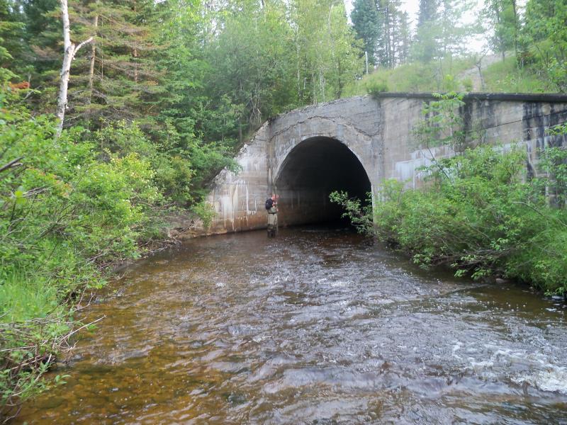
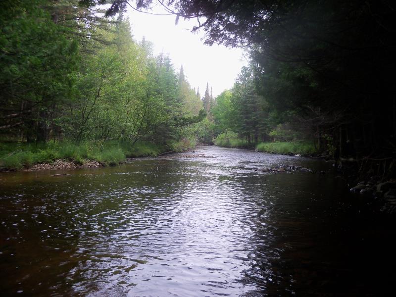
Inlet
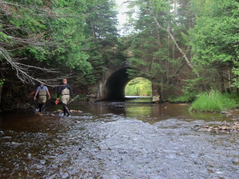
Outlet
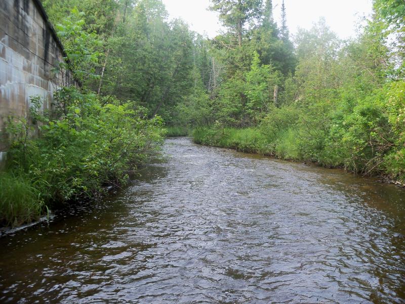
Upstream Conditions
Downstream Conditions
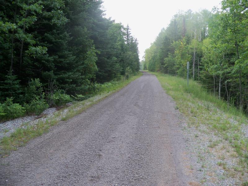
Road Approach - Right
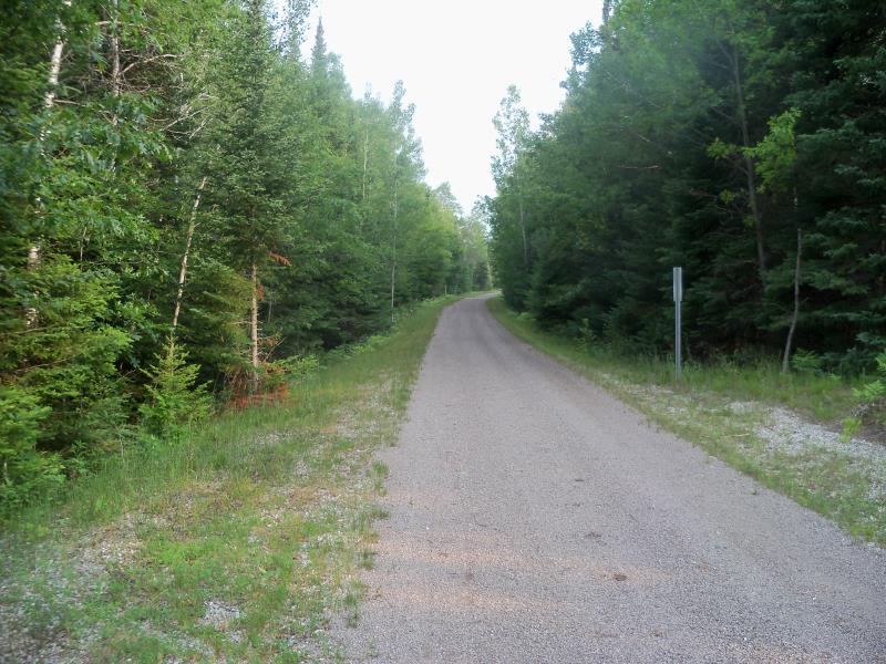
Road Approach - Left
Crossing Information
Type of Crossing: Bridge
Structure Shape: Open Bottom Arch
Inlet Type: Wingwall 10-30 Degree
Outlet Type: At Stream Grade
Structure Material: Concrete
Structure Substrate: Rock
General Conditions: Fair
Structure Interior: smooth
Dimensions of Structure: Length 143.1 ft.
, Width 13.8 ft.
, Height 13.1 ft.
Structure is NOT Perched
Structure Inlet
Water Depth: 1 ft.
Embedded Depth of Structure: 0 ft.
Water Velocity*: 2.3 ft./sec.
Structure Outlet
Water Depth: 1.9 ft.
Embedded Depth of Structure: 0 ft.
Water Velocity*: 1.7 ft./sec.
*Water Velocities were measured 0.5 ft. below Surface
(with Meter)
Stream Information
Stream Flow: Less than Bankfull
Scour Pool: Length 0 ft.
, Width 0 ft.
, Depth 0 ft.
Upstream Pond: Length 0 ft.
, Width 0 ft.
, Depth 0 ft.
Riffle Information
Water Depth: 1.7 ft.
Bankfull Width: 40.2 ft.
Wetted Width: 37.4 ft.
Water Velocity: 1.7 ft./sec.
(Measured with Meter)
Dominant Substrate: Cobble
Road Information
Gravel
State Road
Road Condition: Good
Road Width at Culvert: 26.6 ft.
Location of Low Point: Other
Runoff Path: Ditch
Embankments
Upstream
Fill Depth: 12.1 ft.
Slope: More than 1:2
Downstream
Fill Depth: 11.9 ft.
Slope: 1:2
Approaches
Left Approach
Length: 0 ft.
Slope: Less Than 1%
Vegetation: Partial
LS Factor: 0.05
Erosion: 0 tons/year
Right Approach
Length: 84.7 ft.
Slope: 1% to 5%
Vegetation: Heavy
LS Factor: 0.368
Erosion: 0.2283 tons/year
Erosion Information
Total Erosion at Crossing: 0.2283 tons/year
Summary Information
Fish Passability 0.5
�