Road Stream Crossing Site UBR_MD03
Upper Black River Watershed, Mud Creek
Red Bridge Rd
Waverly Twp,
Cheboygan County
Information collected by:
Site Location
GPS Coordinates: 45.44687
, -84.3598
T35N
R1E
Sec 6
Owned by State
Fish Passability 0.9
Structure is NOT Perched
Total Erosion: 0.8075 tons/year
Severity: Moderate
Year Inventoried: 2015
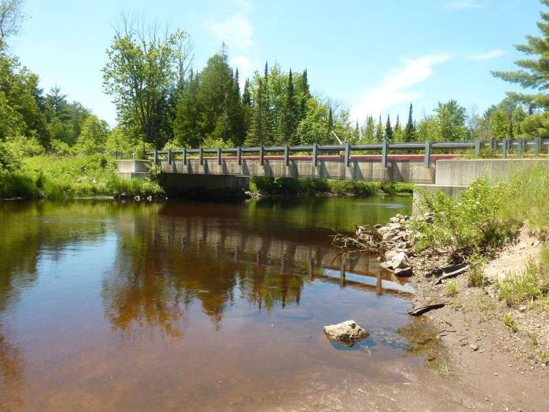
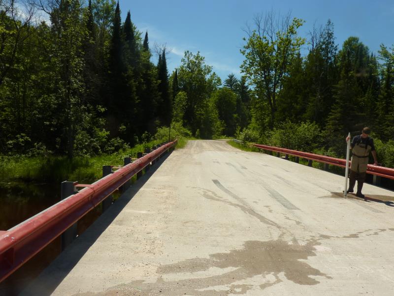
Inlet
Outlet
Upstream Conditions
Downstream Conditions
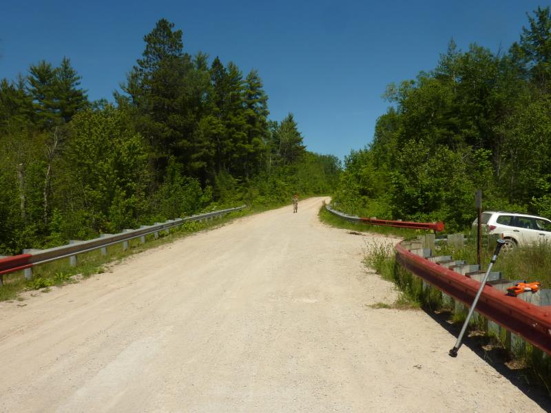
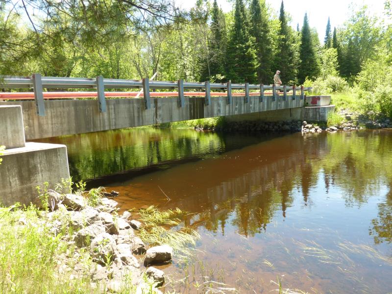
Road Approach - Right
Road Approach - Left
Crossing Information
Type of Crossing: culvert(s)
Number of Structures: 1
Structure Shape: Round
Inlet Type: Projecting
Outlet Type: At Stream Grade
Structure Material: Metal
Structure Substrate: None
General Conditions: Fair
Structure Interior: corrugated
Dimensions of Structure: Length 20 ft.
, Width 3 ft.
, Height 3 ft.
Structure is NOT Perched
Structure Inlet
Water Depth: 0.7 ft.
Embedded Depth of Structure: 0 ft.
Water Velocity*: 0.1 ft./sec.
Structure Outlet
Water Depth: 0.7 ft.
Embedded Depth of Structure: 0.1 ft.
Water Velocity*: 0.1 ft./sec.
*Water Velocities were measured 0.5 ft. below Surface
(with Meter)
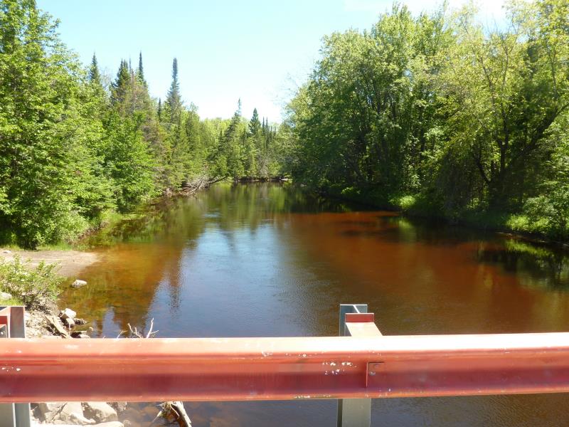
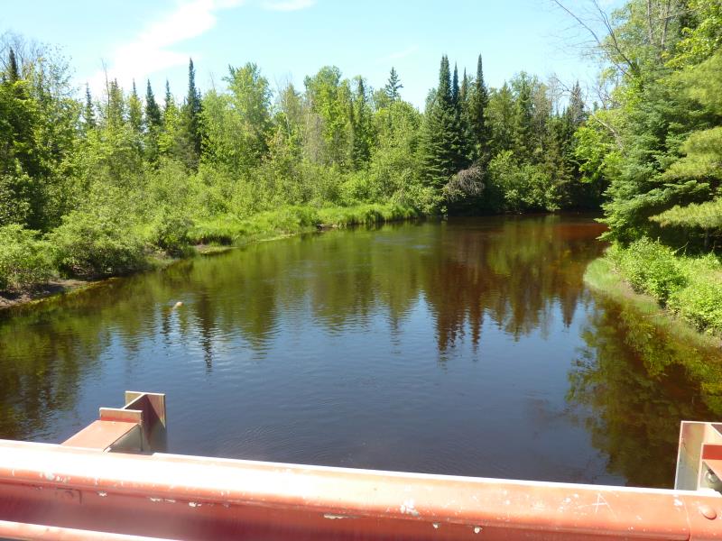
Stream Information
Stream Flow: Less than Bankfull
Scour Pool: Length 0 ft.
, Width 0 ft.
, Depth 0 ft.
Upstream Pond: Length 0 ft.
, Width 0 ft.
, Depth 0 ft.
Riffle Information
Water Depth: 0.5 ft.
Bankfull Width: 9.5 ft.
Wetted Width: 4 ft.
Water Velocity: 0.1 ft./sec.
(Measured with Meter)
Dominant Substrate: Sand
Road Information
Sand
County Road
Road Condition: Fair
Road Width at Culvert: 16 ft.
Location of Low Point: At Stream
Runoff Path: Ditch
Embankments
Upstream
Fill Depth: 1 ft.
Slope: Vertical
Downstream
Fill Depth: 1 ft.
Slope: Vertical
Approaches
Left Approach
Length: 130 ft.
Slope: 1% to 5%
Vegetation: Heavy
LS Factor: 0.392
Erosion: 0.2246 tons/year
Right Approach
Length: 290 ft.
Slope: 1% to 5%
Vegetation: Heavy
LS Factor: 0.456
Erosion: 0.5829 tons/year
Erosion Information
Total Erosion at Crossing: 0.8075 tons/year
Summary Information
Fish Passability 0.9
�