Road Stream Crossing Site UBR_RR01
Upper Black River Watershed, Rainy River
489
North Allis Twp,
Presque Isle County
Information collected by:
Site Location
GPS Coordinates: 45.44943
, -84.22077
T35N
R2E
Sec 5
Owned by Private
Fish Passability 0.9
Structure is NOT Perched
Total Erosion: 0.0902 tons/year
Severity: Moderate
Year Inventoried: 2014
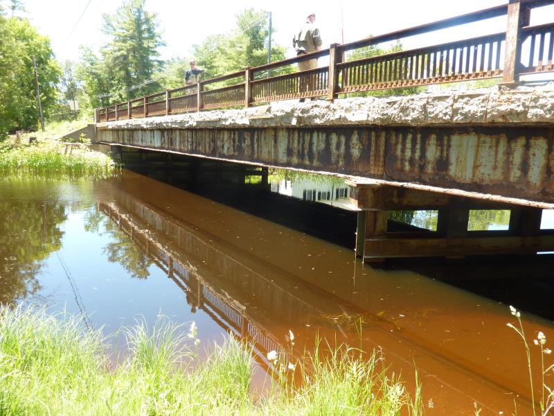
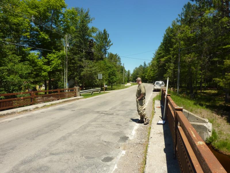
Inlet
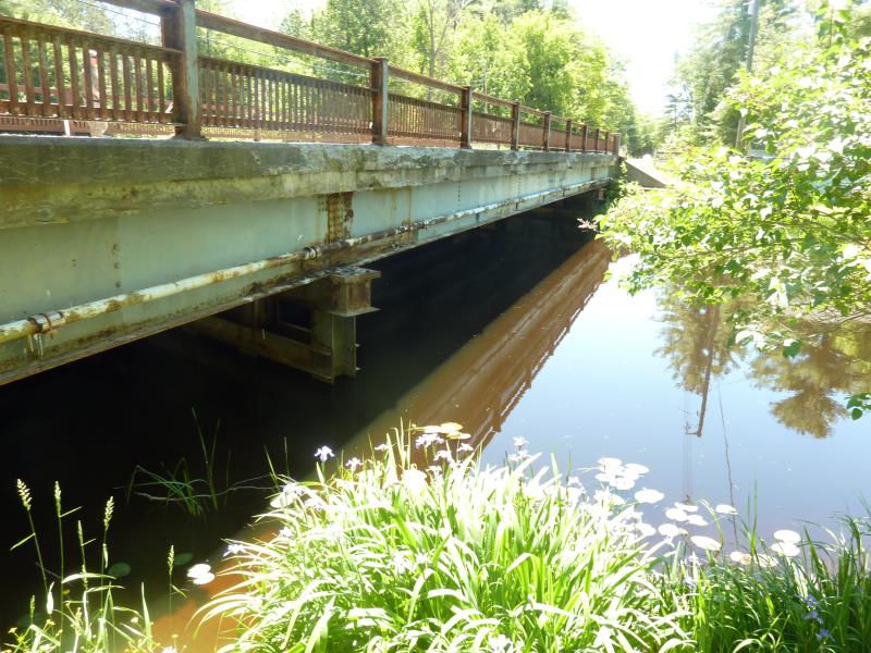
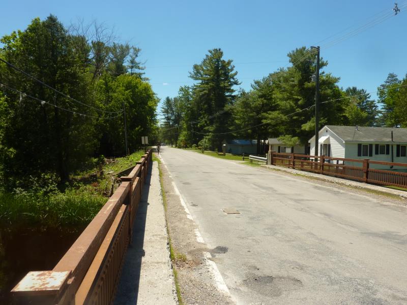
Outlet
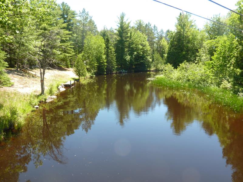
Upstream Conditions
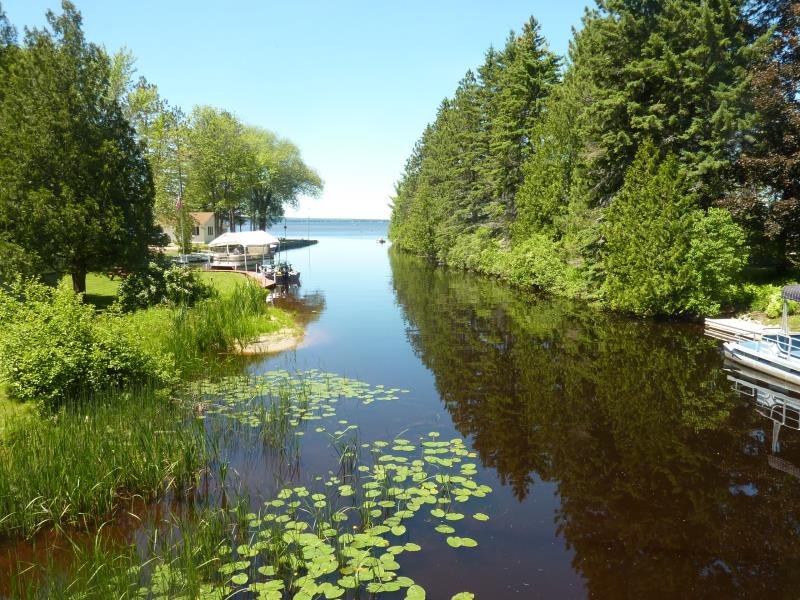
Downstream Conditions
Road Approach - Right
Road Approach - Left
Crossing Information
Type of Crossing: Bridge
Structure Shape: Open Bottom Square/Rectangle
Inlet Type: Wingwall 10-30 Degree
Outlet Type: At Stream Grade
Structure Material: Concrete
Structure Substrate: Mixture
General Conditions: Fair
Structure Interior: smooth
Dimensions of Structure: Length 28.5 ft.
, Width 110 ft.
, Height 8 ft.
Structure is NOT Perched
Structure Inlet
Water Depth: 5 ft.
Embedded Depth of Structure: 0 ft.
Water Velocity*: 0.1 ft./sec.
Structure Outlet
Water Depth: 6 ft.
Embedded Depth of Structure: 0 ft.
Water Velocity*: 0.1 ft./sec.
*Water Velocities were measured 3 ft. below Surface
(with Meter)
Stream Information
Stream Flow: Less than Bankfull
Scour Pool: Length 0 ft.
, Width 0 ft.
, Depth 0 ft.
Upstream Pond: Length 0 ft.
, Width 0 ft.
, Depth 0 ft.
Riffle Information
Water Depth: 0 ft.
Bankfull Width: 0 ft.
Wetted Width: 0 ft.
Water Velocity: 0 ft./sec.
Road Information
Paved
State Road
Road Condition: Fair
Road Width at Culvert: 23 ft.
Location of Low Point: Other
Runoff Path: Ditch
Fill Depth: 0 ft.
Slope: Vertical
Fill Depth: 0 ft.
Slope: Vertical
Approaches
Left Approach
Length: 240 ft.
Slope: 1% to 5%
Vegetation: Heavy
LS Factor: 0.438
Erosion: 0.0799 tons/year
Right Approach
Length: 270 ft.
Slope: Less Than 1%
Vegetation: Partial
LS Factor: 0.05
Erosion: 0.0103 tons/year
Erosion Information
Total Erosion at Crossing: 0.0902 tons/year
Extent of Erosion: Minor
Summary Information
Fish Passability 0.9
�