Road Stream Crossing Site UBR_SC03
Upper Black River Watershed, Stony Creek
N Allis Hwy
Allis Twp,
Presque Isle County
Information collected by:
Site Location
GPS Coordinates: 45.41078
, -84.24425
T35N
R2E
Sec 18, 19
Owned by Private
Fish Passability 0
Structure is NOT Perched
Total Erosion: 0.2397 tons/year
Severity: Severe
Year Inventoried: 2014
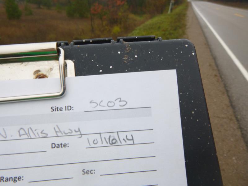
Site ID
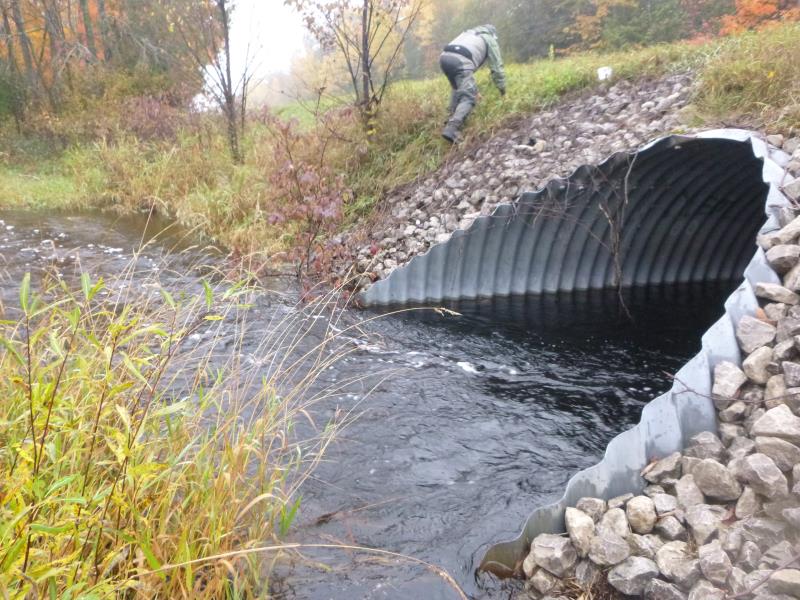
Inlet
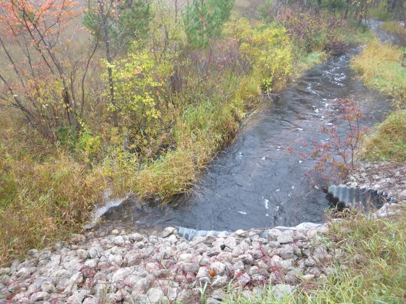
Outlet
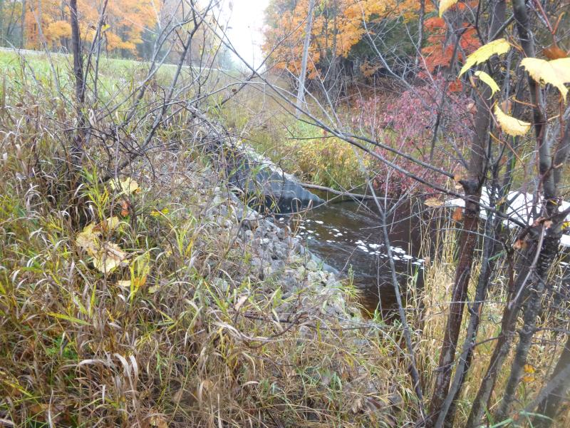
Upstream Conditions
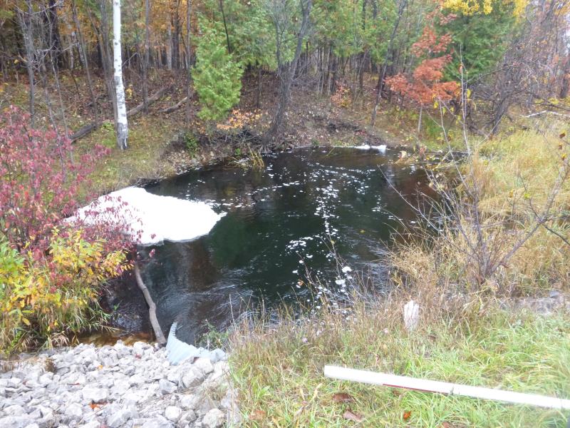
Downstream Conditions
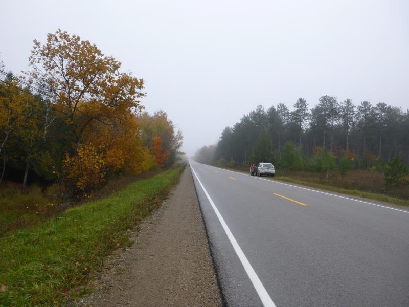
Road Approach - Right
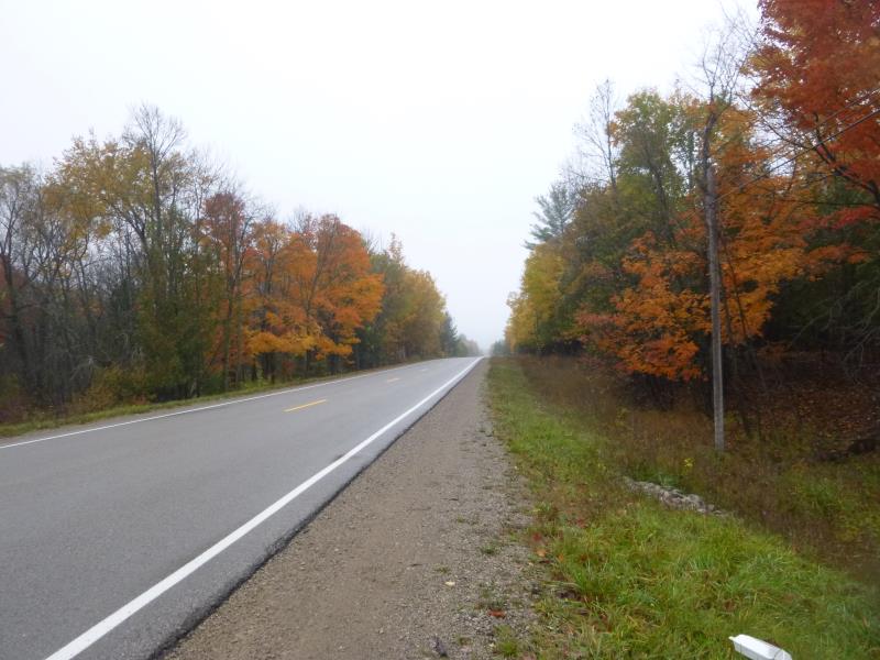
Road Approach - Left
Crossing Information
Type of Crossing: culvert(s)
Number of Structures: 1
Structure Shape: Open Bottom Arch
Inlet Type: Mitered
Outlet Type: At Stream Grade
Structure Material: Metal
Structure Substrate: Gravel
General Conditions: Good
Structure Interior: corrugated
Dimensions of Structure: Length 52 ft.
, Width 9.5 ft.
, Height 6.9 ft.
Structure is NOT Perched
Structure Inlet
Water Depth: 2.5 ft.
Embedded Depth of Structure: 0 ft.
Water Velocity*: 3.6 ft./sec.
Structure Outlet
Water Depth: 3 ft.
Embedded Depth of Structure: 0 ft.
Water Velocity*: 3.8 ft./sec.
*Water Velocities were measured 0.5 ft. below Surface
(with Meter)
Stream Information
Stream Flow: More than Bankfull
Scour Pool: Length 43 ft.
, Width 28 ft.
, Depth 3 ft.
Upstream Pond: Length 0 ft.
, Width 0 ft.
, Depth 0 ft.
Riffle Information
Water Depth: 1.4 ft.
Bankfull Width: 28 ft.
Wetted Width: 27 ft.
Water Velocity: 3.8 ft./sec.
(Measured with Meter)
Dominant Substrate: Gravel
Road Information
Paved
State Road
Road Condition: Good
Road Width at Culvert: 33.8 ft.
Location of Low Point: At Stream
Runoff Path: Ditch
Embankments
Upstream
Fill Depth: 2.5 ft.
Slope: More than 1:2
Downstream
Fill Depth: 2.3 ft.
Slope: More than 1:2
Approaches
Left Approach
Length: 350 ft.
Slope: 1% to 5%
Vegetation: Heavy
LS Factor: 0.47
Erosion: 0.1838 tons/year
Right Approach
Length: 1000 ft.
Slope: Less Than 1%
Vegetation: Heavy
LS Factor: 0.05
Erosion: 0.0559 tons/year
Erosion Information
Total Erosion at Crossing: 0.2397 tons/year
Summary Information
Fish Passability 0
Erosion is an area of concern for this site.
Culvert is highly scewed to stream flow creating a large scour pool
A future visit to this site is recommended. Check if further erosion is happening
These non-native species were observerd at this site: Thistle
�