Road Stream Crossing Site UBR_SC04
Upper Black River Watershed, Stony Creek
County Line Rd
Allis Twp,
Presque Isle County
Information collected by:
Site Location
GPS Coordinates: 45.40848
, -84.24753
T35N
R2E
Sec 19
Owned by Private
Fish Passability 0
Structure is NOT Perched
Total Erosion: 0.0661 tons/year
Severity: Severe
Year Inventoried: 2014
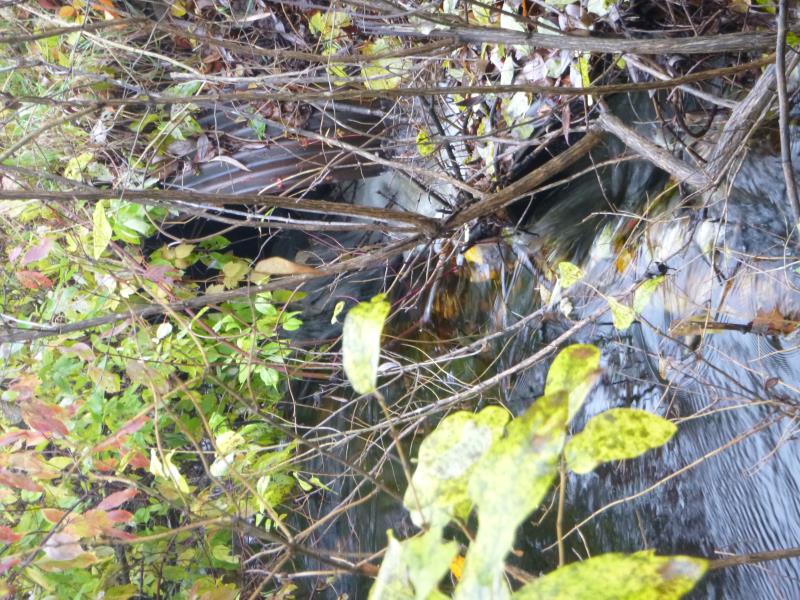
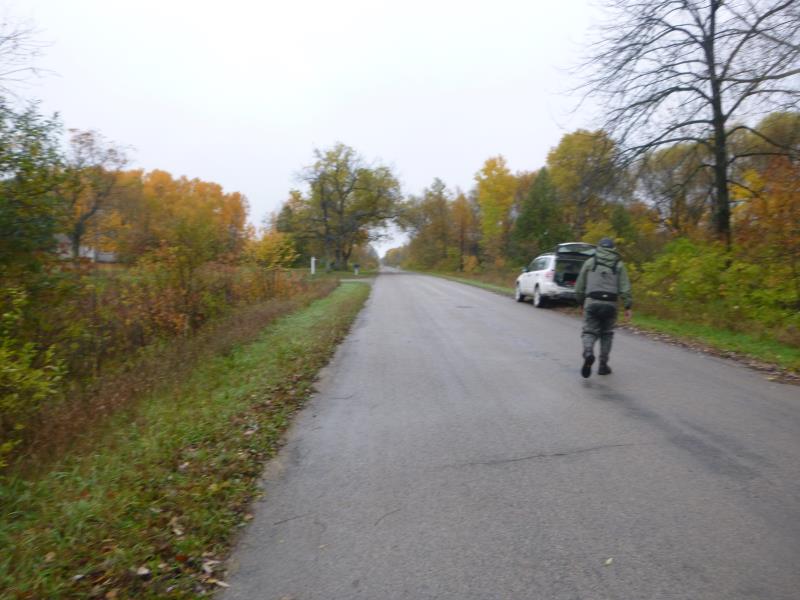
Inlet
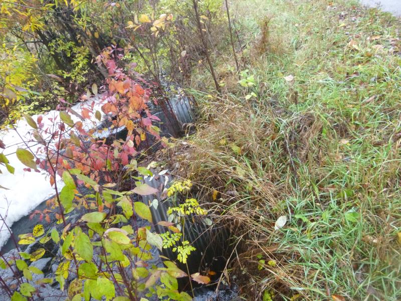
Outlet
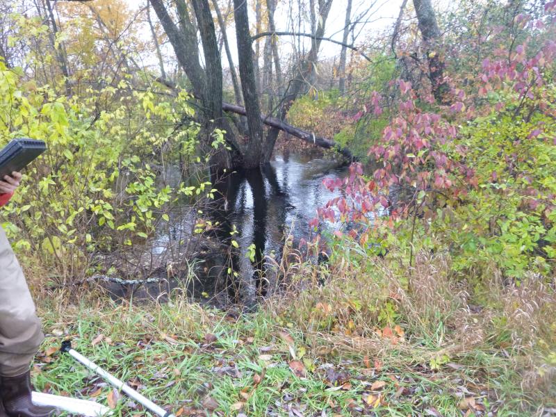
Upstream Conditions
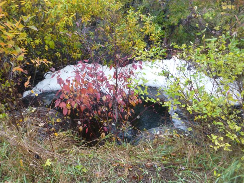
Downstream Conditions
Road Approach - Right
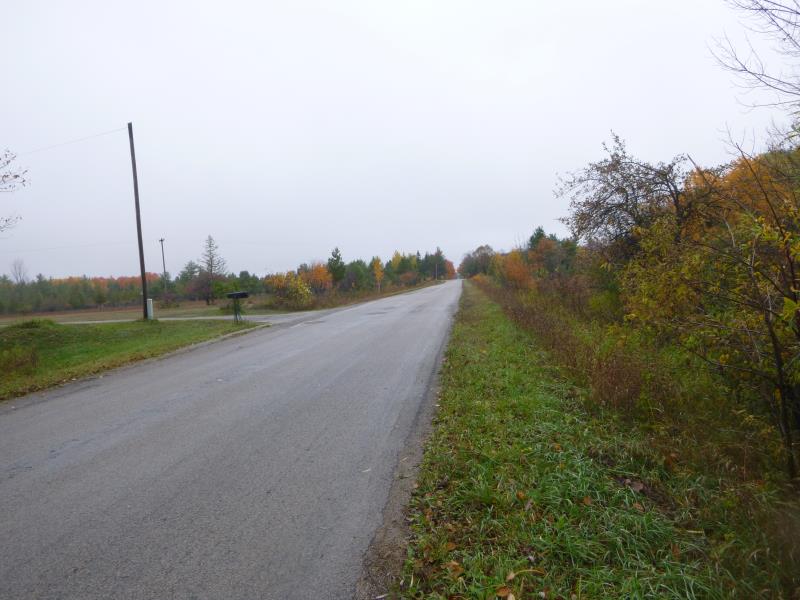
Road Approach - Left
Crossing Information
Type of Crossing: culvert(s)
Number of Structures: 2
Structure Shape: Round
Inlet Type: Projecting
Outlet Type: At Stream Grade
Structure Material: Metal
Structure Substrate: None
General Conditions: Fair
Multiple Culverts/Spans | ||||
Culvert/Span | Width | Length | Height | Material |
1 |
5 ft. |
40 ft. |
5 ft. |
Metal |
2 |
5 ft. |
40 ft. |
5 ft. |
Metal |
Structure Interior: corrugated
Dimensions of Structure: Length 40 ft.
, Width 5 ft.
, Height 4 ft.
Percentage Plugged:
Inlet: 76% to 100%
Outlet: 0%
In Pipe: 0%
Structure is NOT Perched
Structure Inlet
Water Depth: 2.8 ft.
Embedded Depth of Structure: 0 ft.
Water Velocity*: 5.9 ft./sec.
Structure Outlet
Water Depth: 3 ft.
Embedded Depth of Structure: 0 ft.
Water Velocity*: 2.2 ft./sec.
*Water Velocities were measured 0.5 ft. below Surface
(with Meter)
Additional Comments
#1 = main culvert
Stream Information
Stream Flow: More than Bankfull
Scour Pool: Length 0 ft.
, Width 0 ft.
, Depth 0 ft.
Upstream Pond: Length 50 ft.
, Width 90 ft.
, Depth 4 ft.
Riffle Information
Water Depth: 2 ft.
Bankfull Width: 18 ft.
Wetted Width: 20 ft.
Water Velocity: 4.3 ft./sec.
(Measured with Meter)
Dominant Substrate: Gravel
Road Information
Paved
County Road
Road Condition: Fair
Road Width at Culvert: 20 ft.
Location of Low Point: At Stream
Runoff Path: Ditch
Embankments
Upstream
Fill Depth: 1 ft.
Slope: More than 1:2
Downstream
Fill Depth: 1.5 ft.
Slope: 1:2
Approaches
Left Approach
Length: 1000 ft.
Slope: Less Than 1%
Vegetation: Heavy
LS Factor: 0.05
Erosion: 0.0331 tons/year
Right Approach
Length: 1000 ft.
Slope: Less Than 1%
Vegetation: Heavy
LS Factor: 0.05
Erosion: 0.0331 tons/year
Erosion Information
Total Erosion at Crossing: 0.0661 tons/year
Summary Information
Fish Passability 0
Fish Passage is an area of concern for this site.
super fast flow, undersized and plugged
�