Road Stream Crossing Site UBR_SC05A
Upper Black River Watershed, Stony Creek
County Line Rd
Allis Twp,
Presque Isle County
Information collected by:
Site Location
GPS Coordinates: 45.406684
, -84.247509
T35N
R2E
Sec 19
Owned by Private
Fish Passability 0.5
Structure is NOT Perched
Total Erosion: 0.0661 tons/year
Severity: Moderate
Year Inventoried: 2014
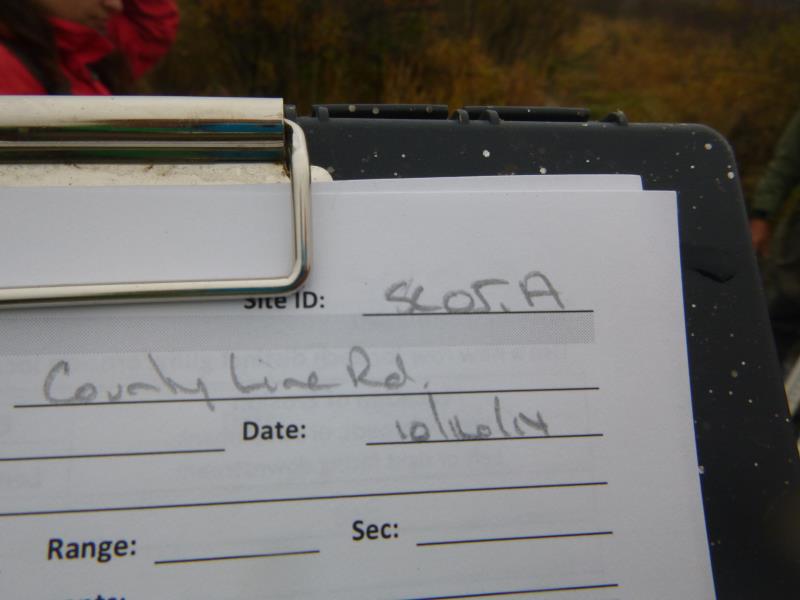
Site ID
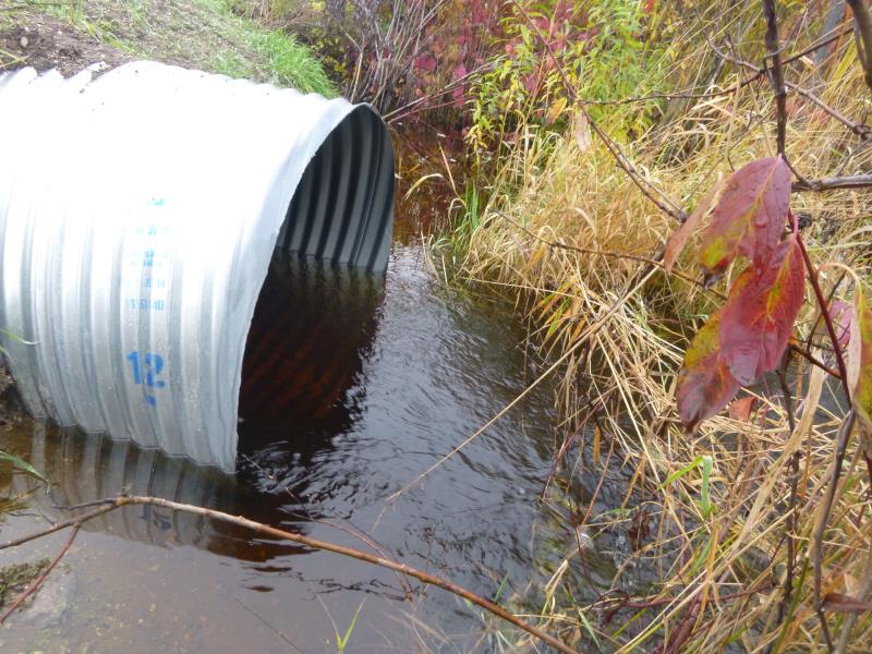
Outlet
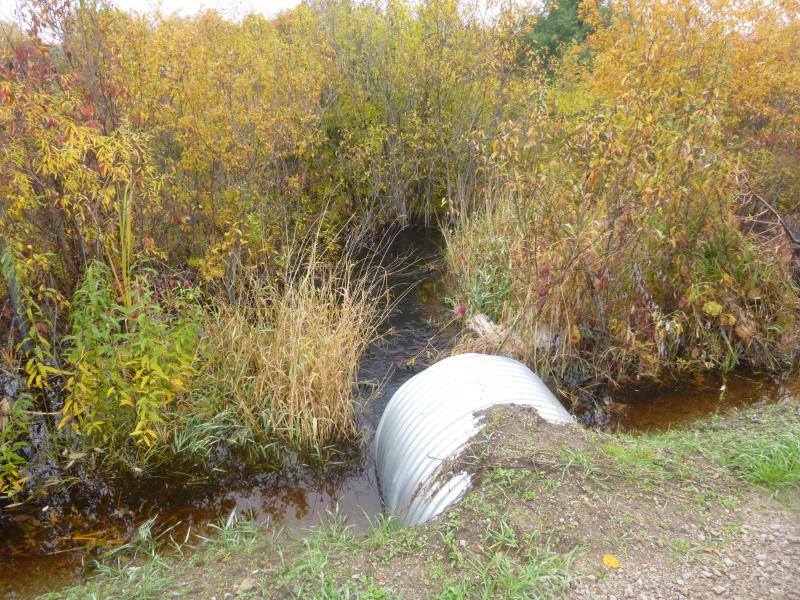
Downstream Conditions
Road Approach - Right
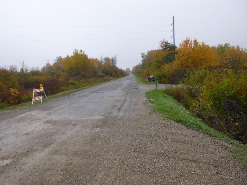
Road Approach - Left
Crossing Information
Type of Crossing: culvert(s)
Number of Structures: 1
Structure Shape: Round
Inlet Type: Projecting
Outlet Type: At Stream Grade
Structure Material: Metal
Structure Substrate: None
General Conditions: New
Structure Interior: corrugated
Dimensions of Structure: Length 45 ft.
, Width 4 ft.
, Height 4 ft.
Structure is NOT Perched
Structure Inlet
Water Depth: 2.1 ft.
Embedded Depth of Structure: 0 ft.
Water Velocity*: 2.2 ft./sec.
Structure Outlet
Water Depth: 1.9 ft.
Embedded Depth of Structure: 0 ft.
Water Velocity*: 2.3 ft./sec.
*Water Velocities were measured 1 ft. below Surface
(with Meter)
Additional Comments
One of two culverts (w/SC05B) at this crossing of County Line Rd and Stony Creek; culverts are far apart, each taking a separate branch of Stony Creek, which then rejoin west of the road
Stream Information
Stream Flow: More than Bankfull
Scour Pool: Length 0 ft.
, Width 0 ft.
, Depth 0 ft.
Upstream Pond: Length 0 ft.
, Width 0 ft.
, Depth 0 ft.
Riffle Information
Water Depth: 2.5 ft.
Bankfull Width: 8 ft.
Wetted Width: 12 ft.
Water Velocity: 0.8 ft./sec.
(Measured with Meter)
Dominant Substrate: Gravel
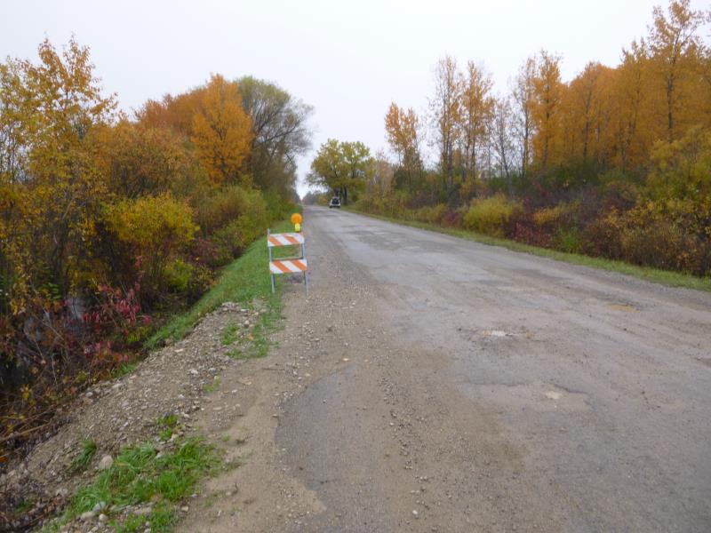
Road Information
Paved
County Road
Road Condition: Fair
Road Width at Culvert: 20 ft.
Location of Low Point: At Stream
Runoff Path: Ditch
Embankments
Upstream
Fill Depth: 0.5 ft.
Slope: More than 1:2
Downstream
Fill Depth: 0.5 ft.
Slope: More than 1:2
Approaches
Left Approach
Length: 1000 ft.
Slope: Less Than 1%
Vegetation: Heavy
LS Factor: 0.05
Erosion: 0.0331 tons/year
Right Approach
Length: 1000 ft.
Slope: Less Than 1%
Vegetation: Heavy
LS Factor: 0.05
Erosion: 0.0331 tons/year
Erosion Information
Total Erosion at Crossing: 0.0661 tons/year
Summary Information
Fish Passability 0.5
A future visit to this site is recommended. Should check out situation with SC05B to make sure the culverts are placed correctly. SC05B is in rough shape, work done on it would probably affect SC05A. Stony Creek runs close to road on both sides between these two culverts.
These non-native species were observerd at this site: Thistle
�