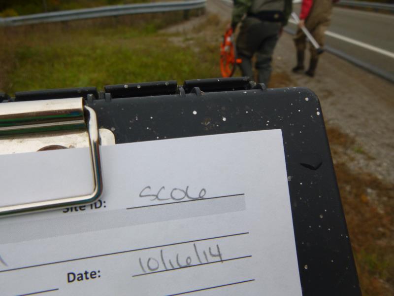
Road Stream Crossing Site UBR_SC06
Upper Black River Watershed, Stony Creek
211
Allis Twp,
Presque Isle County
Information collected by:
Site Location
GPS Coordinates: 45.40024
, -84.22814
T35N
R2E
Sec 19, 20
Owned by Private
Fish Passability 0.5
Structure is NOT Perched
Total Erosion: 0.1336 tons/year
Severity: Moderate
Year Inventoried: 2014
Site ID
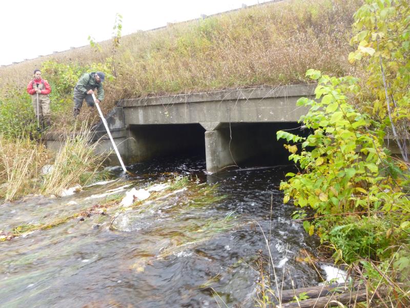
Inlet
Outlet

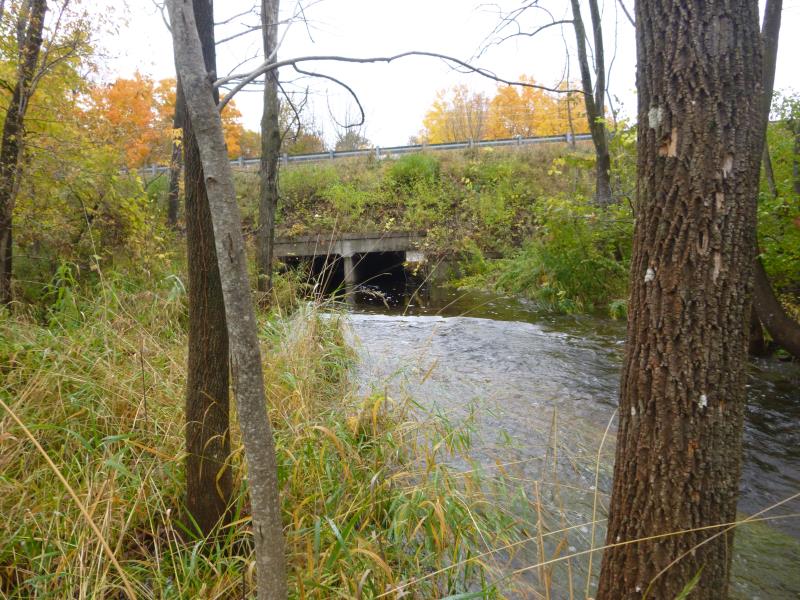
Upstream Conditions
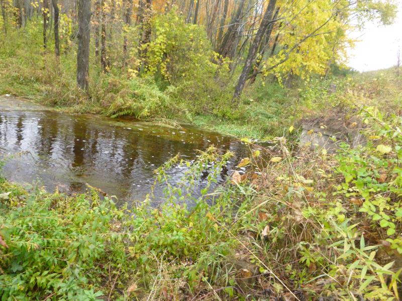
Downstream Conditions
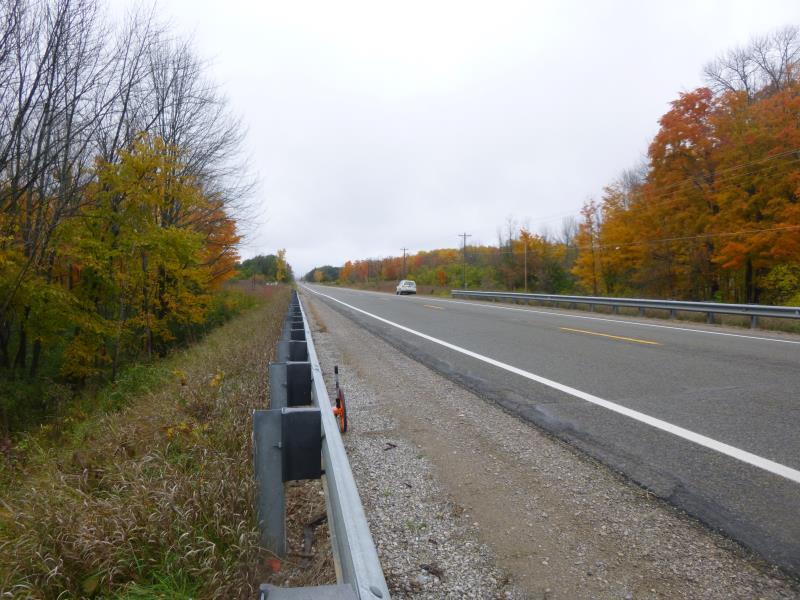
Road Approach - Right

Road Approach - Left
Crossing Information
Type of Crossing: culvert(s)
Number of Structures: 2
Structure Shape: Open Bottom Square/Rectangle
Inlet Type: Headwall
Outlet Type: At Stream Grade
Structure Material: Concrete
Structure Substrate: Gravel
General Conditions: Good
Multiple Culverts/Spans | ||||
Culvert/Span | Width | Length | Height | Material |
1 |
8 ft. |
73 ft. |
6 ft. |
Concrete |
2 |
8 ft. |
73 ft. |
6 ft. |
Concrete |
Dimensions of Structure: Length 73 ft.
, Width 8 ft.
, Height 6 ft.
Structure is NOT Perched
Structure Inlet
Water Depth: 2.8 ft.
Embedded Depth of Structure: 0 ft.
Water Velocity*: 2.1 ft./sec.
Structure Outlet
Water Depth: 2.3 ft.
Embedded Depth of Structure: 0 ft.
Water Velocity*: 0.2 ft./sec.
*Water Velocities were measured 1 ft. below Surface
(with Meter)
Additional Comments
Twin box culvert, concrete; both sides take flow equally
Stream Information
Stream Flow: More than Bankfull
Scour Pool: Length 0 ft.
, Width 0 ft.
, Depth 0 ft.
Upstream Pond: Length 0 ft.
, Width 0 ft.
, Depth 0 ft.
Riffle Information
Water Depth: 1 ft.
Bankfull Width: 14 ft.
Wetted Width: 22 ft.
Water Velocity: 4.6 ft./sec.
(Measured with Meter)
Dominant Substrate: Gravel
Road Information
Paved
State Road
Road Condition: Good
Road Width at Culvert: 40.4 ft.
Location of Low Point: At Stream
Runoff Path: Ditch
Embankments
Upstream
Fill Depth: 15.6 ft.
Slope: 1:1
Downstream
Fill Depth: 17 ft.
Slope: 1:1
Approaches
Left Approach
Length: 1000 ft.
Slope: Less Than 1%
Vegetation: Heavy
LS Factor: 0.05
Erosion: 0.0668 tons/year
Right Approach
Length: 1000 ft.
Slope: Less Than 1%
Vegetation: Heavy
LS Factor: 0.05
Erosion: 0.0668 tons/year
Erosion Information
Total Erosion at Crossing: 0.1336 tons/year
Summary Information
Fish Passability 0.5
�