Road Stream Crossing Site UBR_SC15
Upper Black River Watershed, Stony Creek
Shaw St
North Allis Twp,
Presque Isle County
Information collected by:
Site Location
GPS Coordinates: 45.35553
, -84.21854
T34N
R2E
Sec 5
Owned by Private
Fish Passability 0.5
Structure is NOT Perched
Total Erosion: 0.7673 tons/year
Severity: Moderate
Year Inventoried: 2014

Site ID
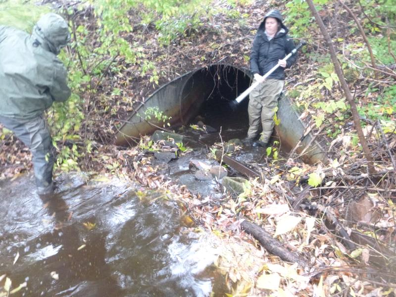
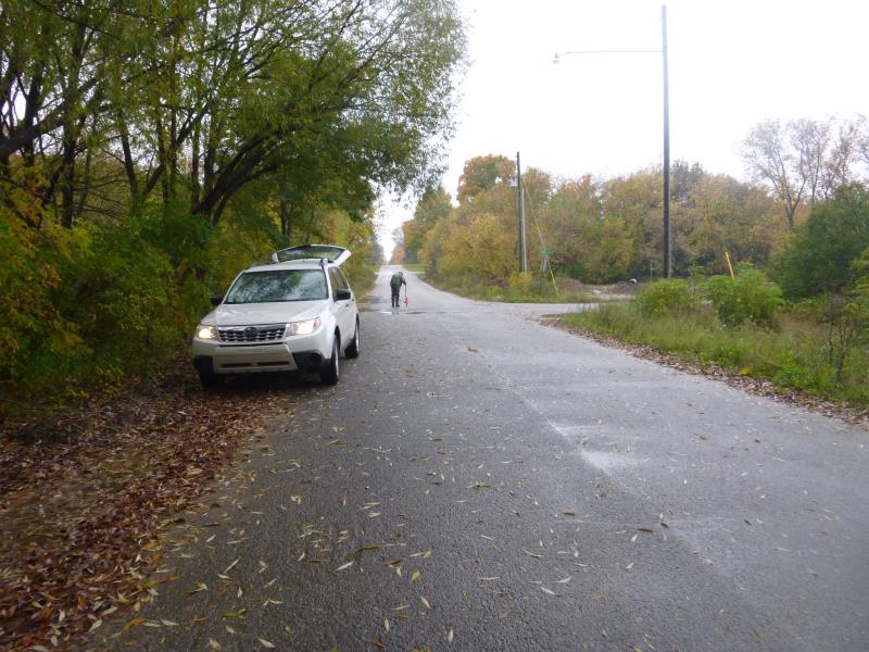
Inlet
Outlet
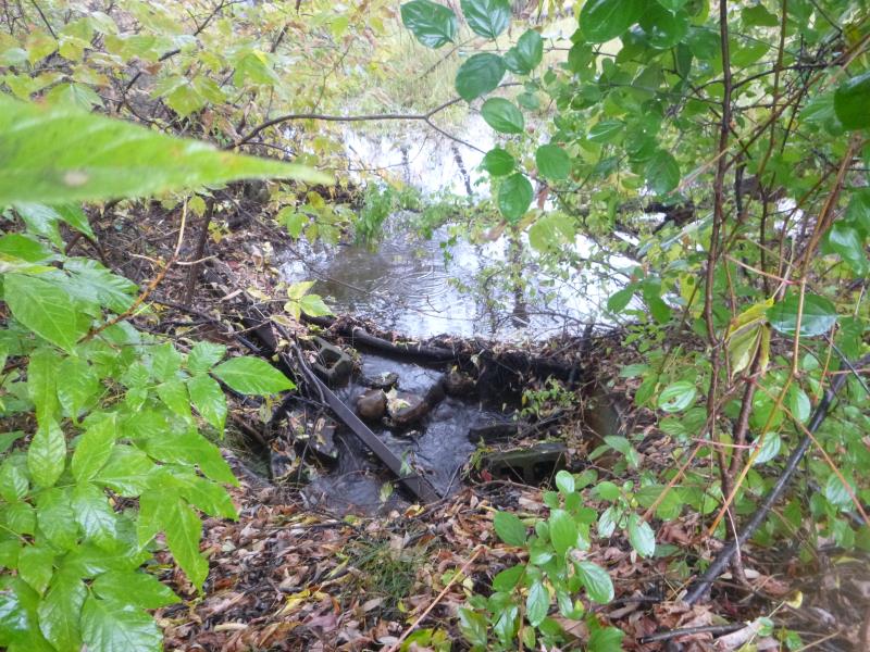
Upstream Conditions
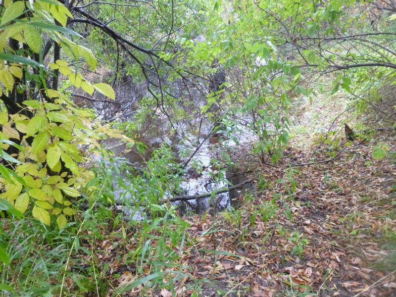
Downstream Conditions
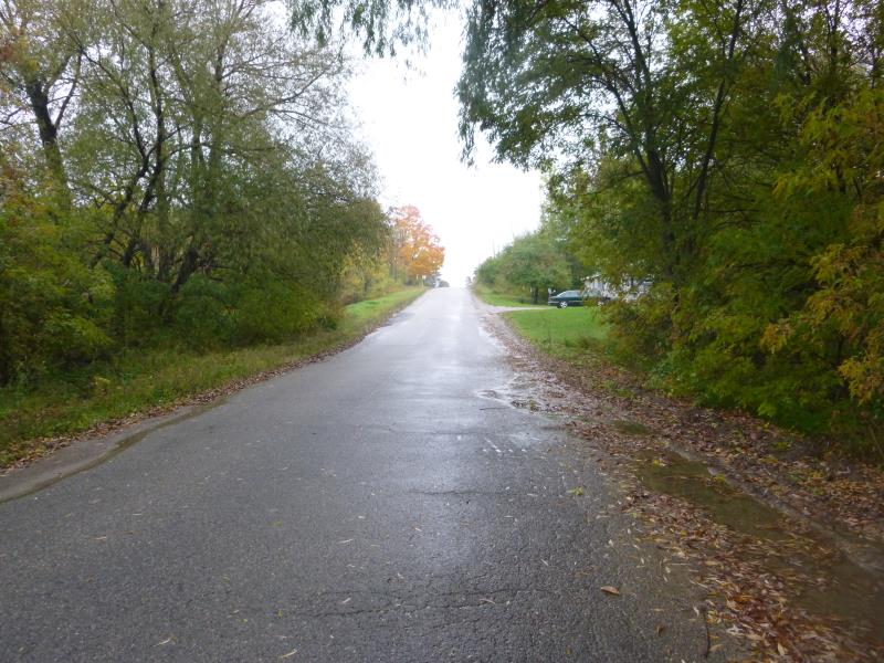
Road Approach - Right
Road Approach - Left
Crossing Information
Type of Crossing: culvert(s)
Number of Structures: 1
Structure Shape: Round
Inlet Type: Wingwall 30-70 Degree
Outlet Type: At Stream Grade
Structure Material: Metal
Structure Substrate: None
General Conditions: Good
Structure Interior: corrugated
Dimensions of Structure: Length 50 ft.
, Width 4 ft.
, Height 4 ft.
Percentage Plugged:
Inlet: 1% to 25%
Outlet: 0%
In Pipe: 0%
Structure is NOT Perched
Structure Inlet
Water Depth: 0.3 ft.
Embedded Depth of Structure: 0 ft.
Water Velocity*: 0.4 ft./sec.
Structure Outlet
Water Depth: 0.4 ft.
Embedded Depth of Structure: 0 ft.
Water Velocity*: 0.1 ft./sec.
*Water Velocities were measured 0.2 ft. below Surface
(with Meter)
Stream Information
Stream Flow: Less than 1/2 Bankfull
Scour Pool: Length 0 ft.
, Width 0 ft.
, Depth 0 ft.
Upstream Pond: Length 30 ft.
, Width 12 ft.
, Depth 1 ft.
Riffle Information
Water Depth: 1 ft.
Bankfull Width: 16 ft.
Wetted Width: 11 ft.
Water Velocity: 0.1 ft./sec.
(Measured with Meter)
Dominant Substrate: Organics
Road Information
Paved
County Road
Road Condition: Good
Road Width at Culvert: 24 ft.
Location of Low Point: At Stream
Runoff Path: Ditch
Embankments
Upstream
Fill Depth: 3.5 ft.
Slope: More than 1:2
Downstream
Fill Depth: 3 ft.
Slope: More than 1:2
Approaches
Left Approach
Length: 735 ft.
Slope: 1% to 5%
Vegetation: Heavy
LS Factor: 0.54
Erosion: 0.315 tons/year
Right Approach
Length: 1000 ft.
Slope: 1% to 5%
Vegetation: Heavy
LS Factor: 0.57
Erosion: 0.4522 tons/year
Erosion Information
Total Erosion at Crossing: 0.7673 tons/year
Summary Information
Fish Passability 0.5
Fish Passage is an area of concern for this site.
Due to presence of obstructions in culvert and the upstream pond
�