Road Stream Crossing Site UBR_SC17
Upper Black River Watershed, Stony Creek
68
North Allis Twp,
Presque Isle County
Information collected by:
Site Location
GPS Coordinates: 45.35745
, -84.19636
T34N
R2E
Sec 4
Owned by Private
Fish Passability 0.5
Structure is NOT Perched
Severity: Moderate
Year Inventoried: 2014
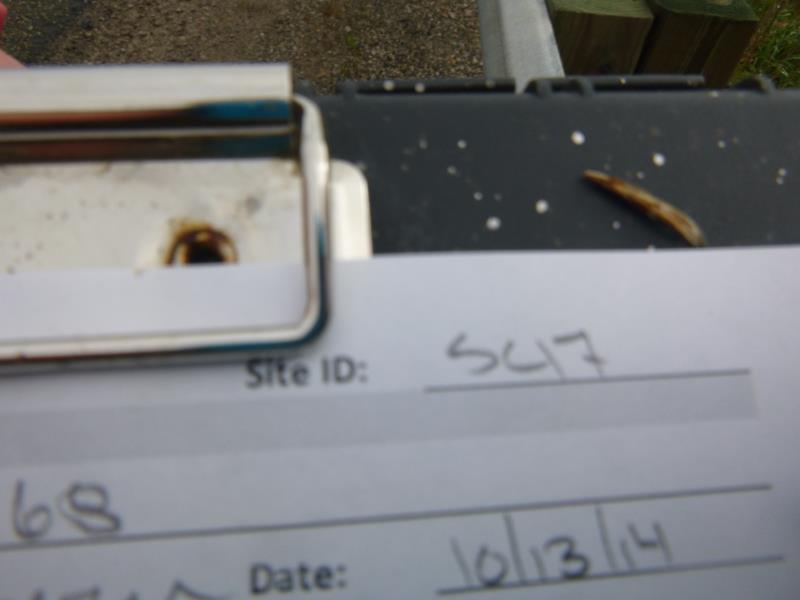
Site ID
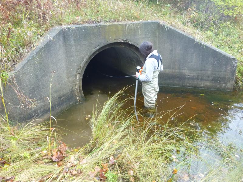
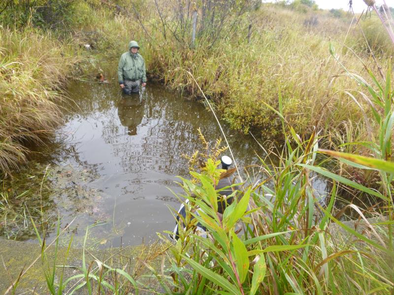
Inlet
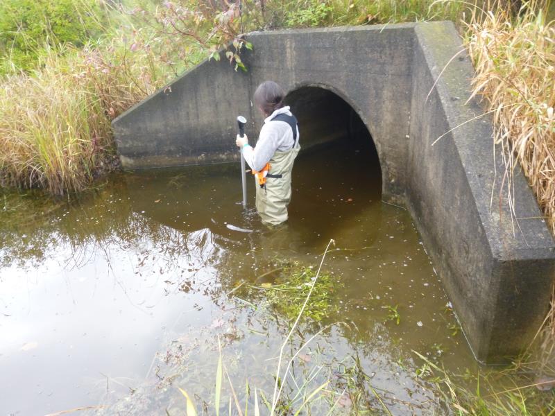
Outlet
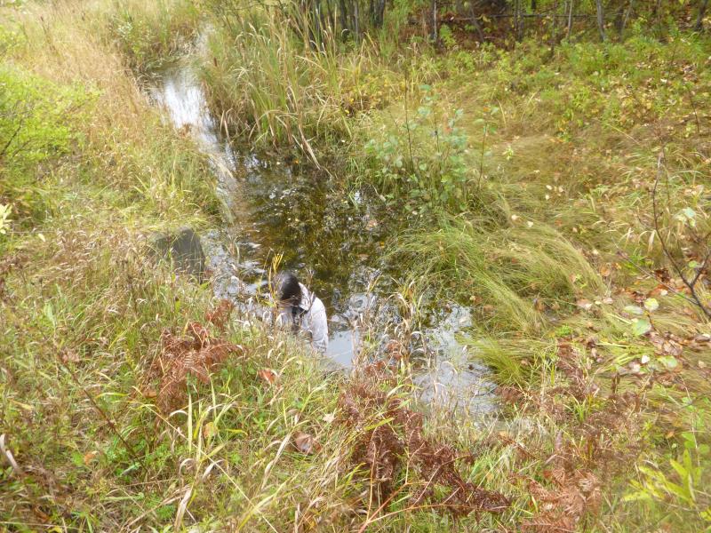
Upstream Conditions
Downstream Conditions
Road Approach - Right
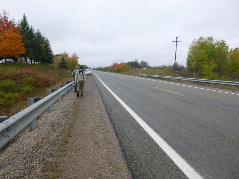
Road Approach - Left
Crossing Information
Type of Crossing: culvert(s)
Number of Structures: 1
Structure Shape: Round
Inlet Type: Wingwall 10-30 Degree
Outlet Type: At Stream Grade
Structure Material: Concrete
Structure Substrate: None
General Conditions: Good
Structure Interior: smooth
Dimensions of Structure: Length 92.6 ft.
, Width 5 ft.
, Height 5 ft.
Structure is NOT Perched
Structure Inlet
Water Depth: 1.6 ft.
Embedded Depth of Structure: 0 ft.
Water Velocity*: 0.2 ft./sec.
Structure Outlet
Water Depth: 1.1 ft.
Embedded Depth of Structure: 0 ft.
Water Velocity*: 0.1 ft./sec.
*Water Velocities were measured 0.8 ft. below Surface
(with Meter)
Stream Information
Stream Flow: Less than Bankfull
Scour Pool: Length 0 ft.
, Width 0 ft.
, Depth 0 ft.
Upstream Pond: Length 0 ft.
, Width 0 ft.
, Depth 0 ft.
Riffle Information
Water Depth: 0.9 ft.
Bankfull Width: 4 ft.
Wetted Width: 3 ft.
Water Velocity: 0.8 ft./sec.
(Measured with Meter)
Dominant Substrate: Gravel
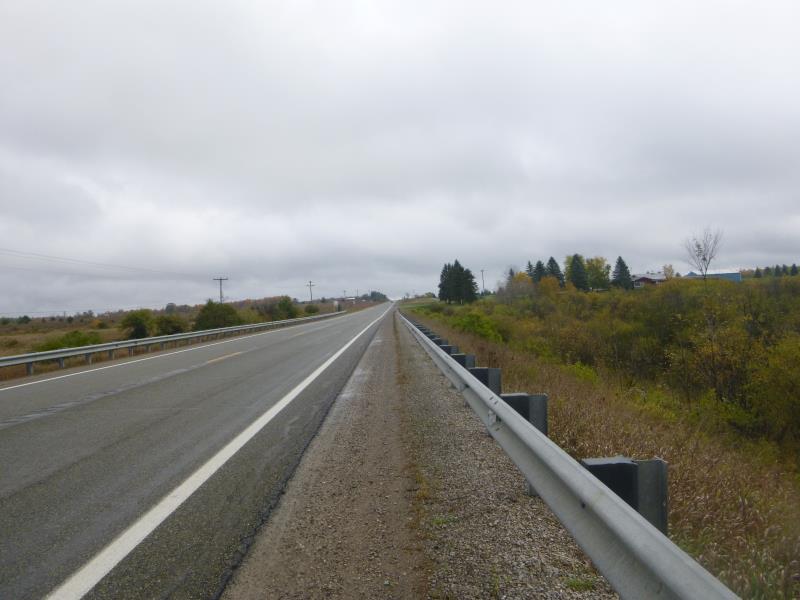
Road Information
Paved
State Road
Road Condition: Good
Location of Low Point: At Stream
Runoff Path: Ditch
Embankments
Upstream
Fill Depth: 18.1 ft.
Slope: 1:1
Downstream
Fill Depth: 19.8 ft.
Slope: 1:1
Length: 1000 ft.
Slope: Less Than 1%
Vegetation: Heavy
Length: 1000 ft.
Slope: Less Than 1%
Vegetation: Heavy
Erosion Information
Summary Information
Fish Passability 0.5
�