Road Stream Crossing Site UBR_ST05
Upper Black River Watershed, Stewart Creek
Hutchinson Hwy
Waverly Twp,
Cheboygan County
Information collected by:
Site Location
GPS Coordinates: 45.39727
, -84.27087
T35N
R1E
Sec 23, 26
Owned by Private
Structure is NOT Perched
Total Erosion: 0.4933 tons/year
Severity: Minor
Year Inventoried: 2014
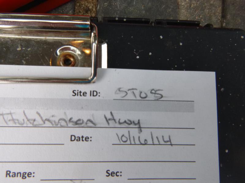
Site ID
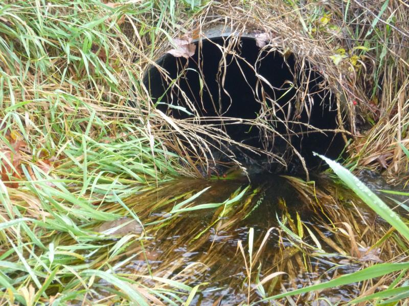
Inlet
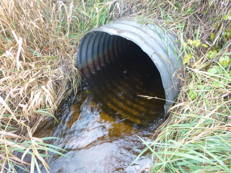
Outlet
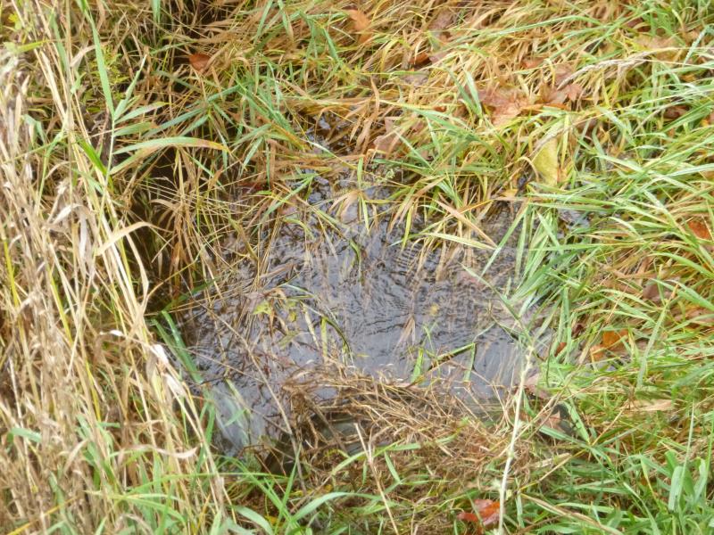
Upstream Conditions
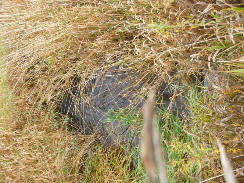
Downstream Conditions
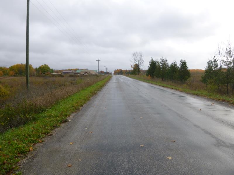
Road Approach - Right
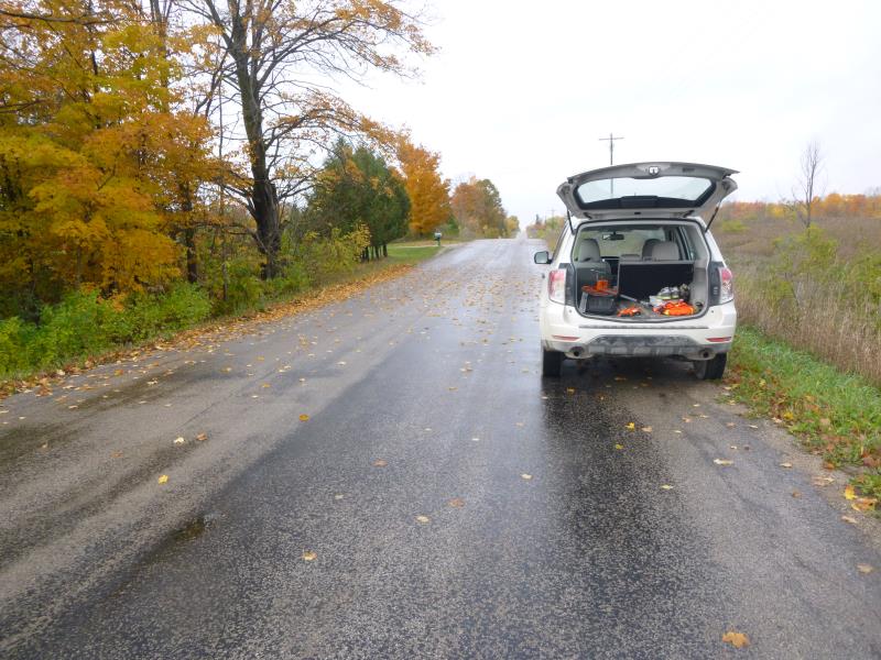
Road Approach - Left
Crossing Information
Type of Crossing: culvert(s)
Number of Structures: 1
Structure Shape: Round
Inlet Type: Projecting
Outlet Type: At Stream Grade
Structure Material: Metal
Structure Substrate: None
General Conditions: Good
Structure Interior: corrugated
Dimensions of Structure: Length 37 ft.
, Width 2.5 ft.
, Height 2.5 ft.
Percentage Plugged:
Inlet: 1% to 25%
Outlet: 0%
In Pipe: 0%
Structure is NOT Perched
Structure Inlet
Water Depth: 1.1 ft.
Embedded Depth of Structure: 0 ft.
Water Velocity*: 3.8 ft./sec.
Structure Outlet
Water Depth: 1.1 ft.
Embedded Depth of Structure: 0 ft.
Water Velocity*: 4 ft./sec.
*Water Velocities were measured at the Surface
(with Meter)
Additional Comments
Didn't do riffle, flows into grassy marsh area
Scour Pool: Length 0 ft.
, Width 0 ft.
, Depth 0 ft.
Upstream Pond: Length 0 ft.
, Width 0 ft.
, Depth 0 ft.
Road Information
Paved
County Road
Road Condition: Good
Road Width at Culvert: 23.5 ft.
Location of Low Point: At Stream
Runoff Path: Ditch
Embankments
Upstream
Fill Depth: 4.5 ft.
Slope: 1:2
Downstream
Fill Depth: 4.4 ft.
Slope: 1:2
Approaches
Left Approach
Length: 160 ft.
Slope: 1% to 5%
Vegetation: Heavy
LS Factor: 0.406
Erosion: 0.0505 tons/year
Right Approach
Length: 1000 ft.
Slope: 1% to 5%
Vegetation: Heavy
LS Factor: 0.57
Erosion: 0.4428 tons/year
Erosion Information
Total Erosion at Crossing: 0.4933 tons/year
Summary Information
�