Road Stream Crossing Site CLHW_BC-006
Big Creek Watershed, Unnamed tributary to Big Creek
Main Street Rd
Mason Twp,
Arenac County
Information collected by:
Site Location
GPS Coordinates: 44.11284
, -83.89977
T20N
R5E
Sec 20
Owned by Private
Fish Passability 0.5
Structure is NOT Perched
Total Erosion: 0.3485 tons/year
Severity: Moderate
Year Inventoried: 2016
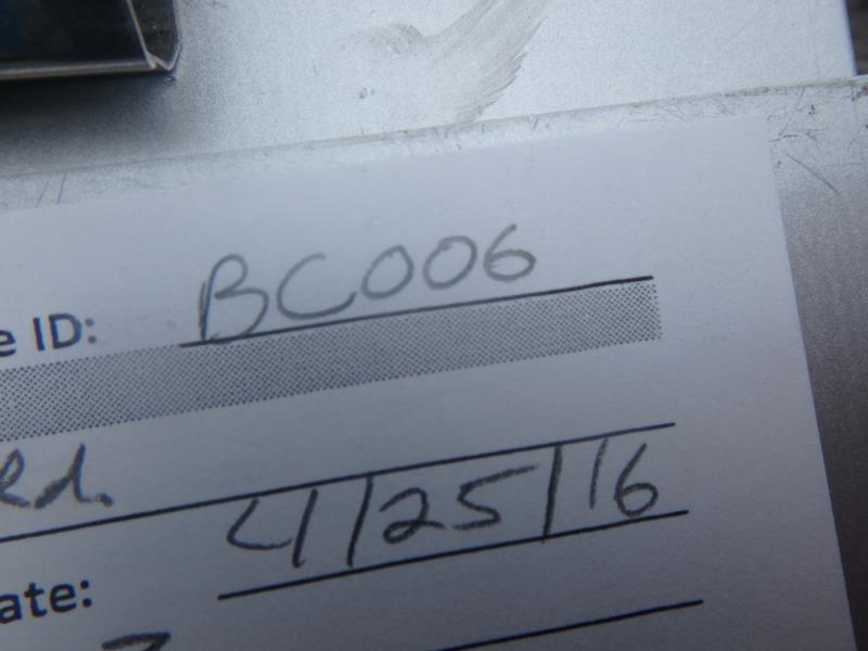
Site ID
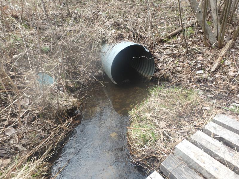
Inlet
Outlet
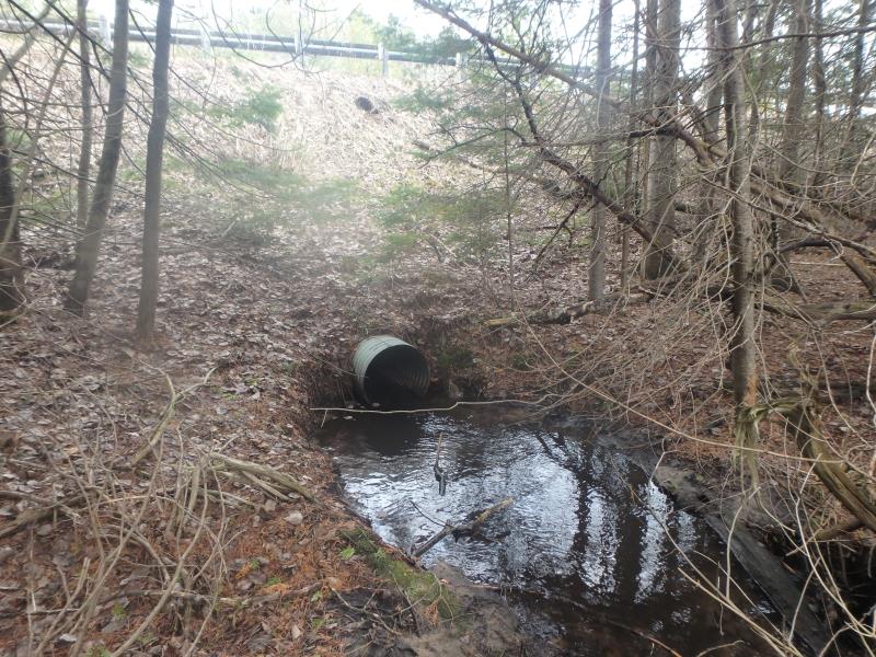
Upstream Conditions
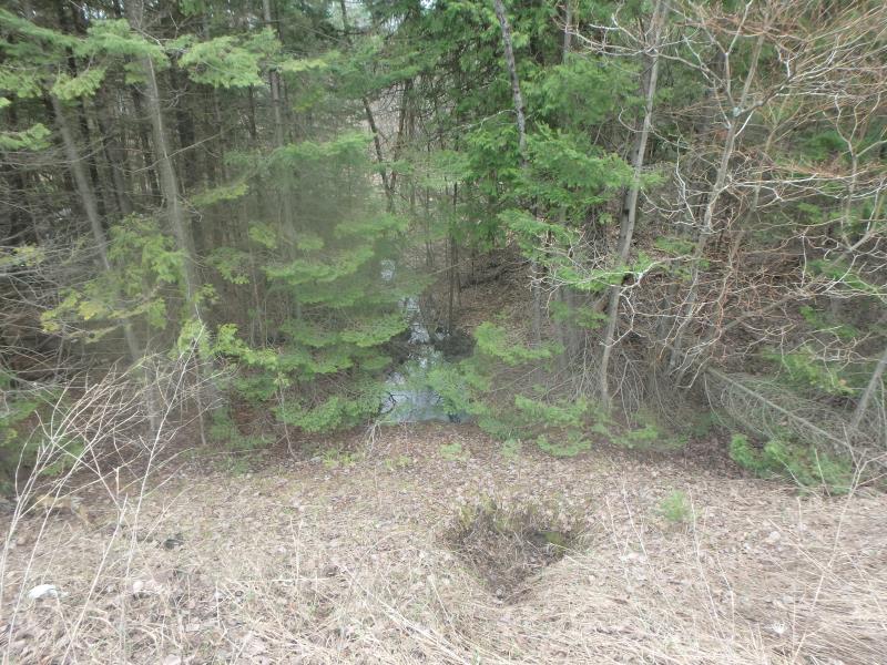
Downstream Conditions
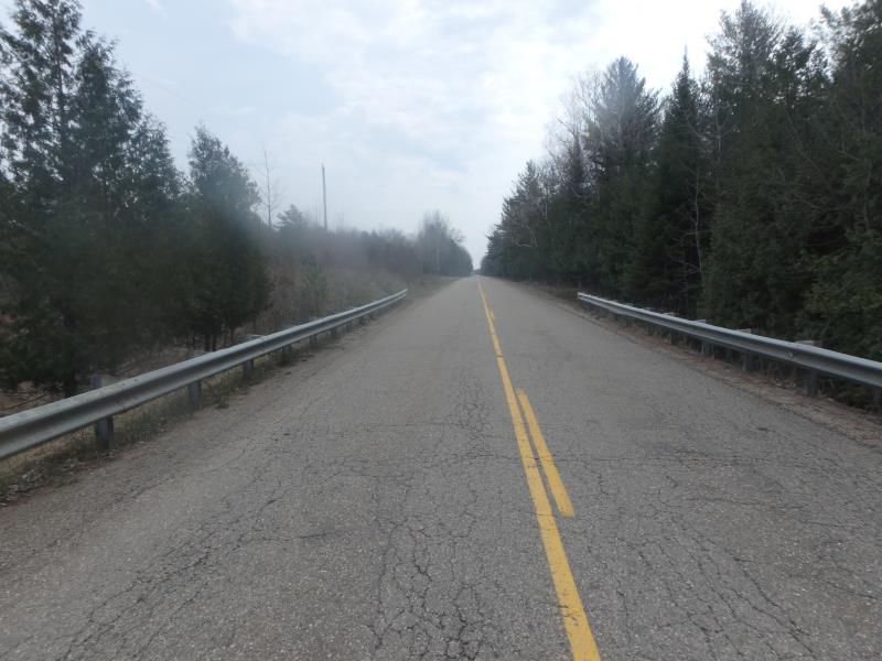
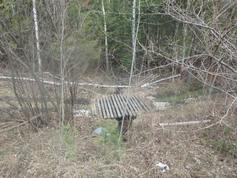
Road Approach - Left
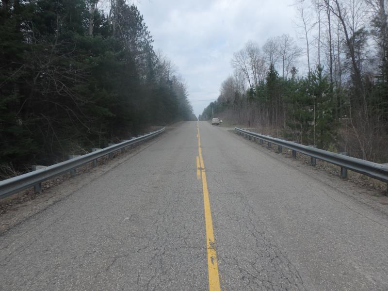
Road Approach - Right
Crossing Information
Type of Crossing: culvert(s)
Number of Structures: 2
Structure Shape: Round
Inlet Type: Projecting
Outlet Type: At Stream Grade
Structure Material: Metal
Structure Substrate: None
General Conditions: Good
Structure Interior: corrugated
Dimensions of Structure: Length 90 ft.
, Width 2 ft.
, Height 2 ft.
Structure is NOT Perched
Structure Inlet
Water Depth: 0.5 ft.
Embedded Depth of Structure: 0 ft.
Water Velocity*: 2.3 ft./sec.
Structure Outlet
Water Depth: 0.6 ft.
Embedded Depth of Structure: 0 ft.
Water Velocity*: 2.3 ft./sec.
*Water Velocities were measured at the Surface
(with Float Test)
Stream Information
Stream Flow: Less than Bankfull
Scour Pool: Length 0 ft.
, Width 0 ft.
, Depth 0 ft.
Upstream Pond: Length 0 ft.
, Width 0 ft.
, Depth 0 ft.
Riffle Information
Water Depth: 0.6 ft.
Bankfull Width: 3.6 ft.
Wetted Width: 2.4 ft.
Water Velocity: 0.8 ft./sec.
(Measured with Float Test)
Dominant Substrate: Sand
Road Information
Paved
County Road
Road Condition: Fair
Road Width at Culvert: 24 ft.
Location of Low Point: At Stream
Runoff Path: Ditch
Embankments
Upstream
Fill Depth: 10.5 ft.
Slope: More than 1:2
Downstream
Fill Depth: 12 ft.
Slope: More than 1:2
Approaches
Left Approach
Length: 475 ft.
Slope: 1% to 5%
Vegetation: Heavy
LS Factor: 0.495
Erosion: 0.1865 tons/year
Right Approach
Length: 400 ft.
Slope: 1% to 5%
Vegetation: Heavy
LS Factor: 0.48
Erosion: 0.1523 tons/year
Erosion Information
Total Erosion at Crossing: 0.3485 tons/year
Extent of Erosion: Minor
Notes: Eroding sediment is not reaching stream
Location of Erosion | Erosion Dimensions | Eroded Material | Material Eroded | Total Erosion | ||
facing downstream | Length | Width | Depth | Reaching Stream? | (tons/year) | |
Right Upstream Streambank |
5 ft. |
4.5 ft. |
2 ft. |
no |
Sandy Loam |
0.0096 |
Summary Information
Fish Passability 0.5
�