Road Stream Crossing Site CLHW_BC-009
Big Creek Watershed, Chub Creek
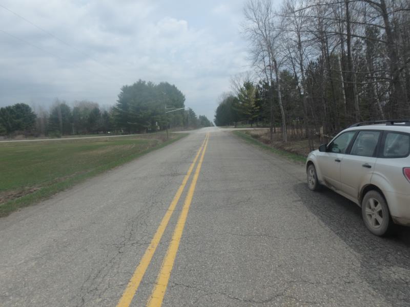
Main Street Rd
Mason Twp,
Arenac County
Information collected by:
Site Location
GPS Coordinates: 44.11281
, -83.87839
T20N
R5E
Sec 21
Owned by Private
Fish Passability 0
Perch Height: 0.6 ft.
Total Erosion: 4.032 tons/year
Severity: Severe
Year Inventoried: 2016
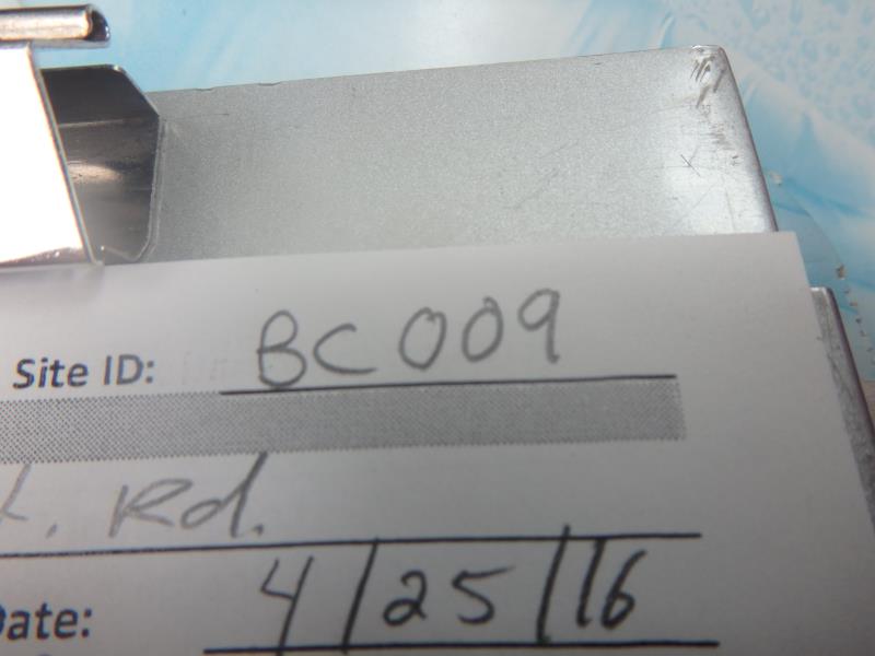
Site ID
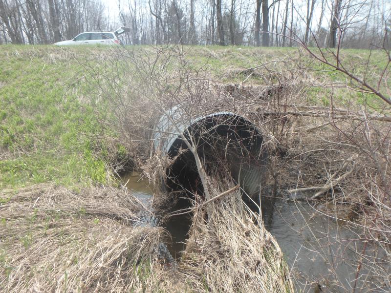
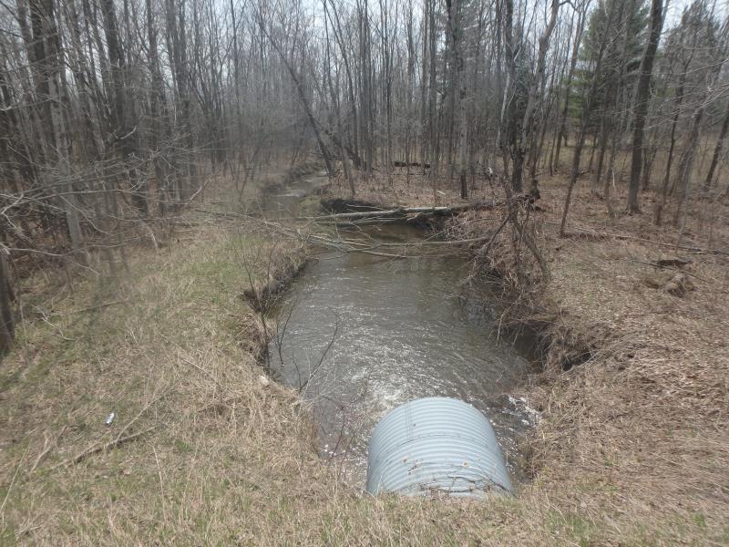
Inlet
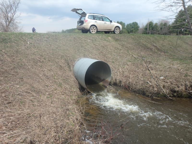
Outlet
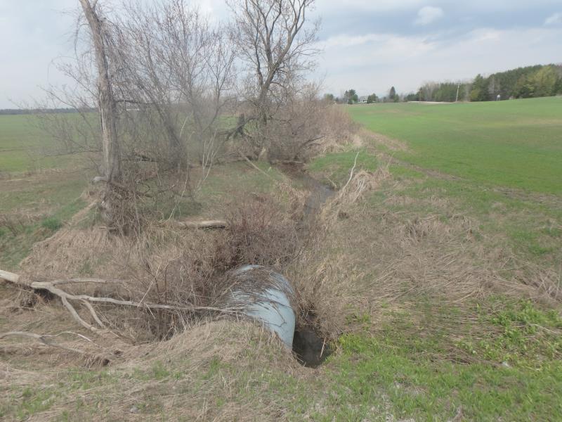
Upstream Conditions
Downstream Conditions
Road Approach - Left
Road Approach - Right
Crossing Information
Type of Crossing: culvert(s)
Number of Structures: 1
Structure Shape: Round
Inlet Type: Projecting
Outlet Type: Freefall into Pool
Structure Material: Metal
Structure Substrate: None
General Conditions: Fair
Structure Interior: corrugated
Dimensions of Structure: Length 70 ft.
, Width 4.7 ft.
, Height 5.2 ft.
Perch Height: 0.6 ft.
Structure Inlet
Water Depth: 1.8 ft.
Embedded Depth of Structure: 0 ft.
Water Velocity*: 3.5 ft./sec.
Structure Outlet
Water Depth: 0.6 ft.
Embedded Depth of Structure: 0 ft.
Water Velocity*: 3.5 ft./sec.
*Water Velocities were measured at the Surface
(with Float Test)
Additional Comments
Vines/woody debris at inlet but not impeding flow
Stream Information
Stream Flow: Less than 1/2 Bankfull
Scour Pool: Length 50 ft.
, Width 20 ft.
, Depth 4 ft.
Upstream Pond: Length 0 ft.
, Width 0 ft.
, Depth 0 ft.
Riffle Information
Water Depth: 0.6 ft.
Bankfull Width: 13.5 ft.
Wetted Width: 9 ft.
Water Velocity: 2.1 ft./sec.
(Measured with Float Test)
Dominant Substrate: Clay
Road Information
Paved
County Road
Road Condition: Fair
Road Width at Culvert: 23 ft.
Location of Low Point: Other
Runoff Path: Ditch
Embankments
Upstream
Fill Depth: 3.8 ft.
Slope: More than 1:2
Downstream
Fill Depth: 4 ft.
Slope: More than 1:2
Approaches
Left Approach
Length: 0 ft.
Slope: Less Than 1%
Vegetation: Heavy
LS Factor: 0.05
Erosion: 0 tons/year
Right Approach
Length: 0 ft.
Slope: Less Than 1%
Vegetation: Heavy
LS Factor: 0.05
Erosion: 0 tons/year
Erosion Information
Total Erosion at Crossing: 4.032 tons/year
Extent of Erosion: Moderate
Notes: Channel incised several hundred feet downstream from culvert
Location of Erosion | Erosion Dimensions | Eroded Material | Material Eroded | Total Erosion | ||
facing downstream | Length | Width | Depth | Reaching Stream? | (tons/year) | |
Right Downstream Streambank |
100 ft. |
1 ft. |
3 ft. |
yes |
Sandy Loam |
2.016 |
Left Downstream Streambank |
100 ft. |
1 ft. |
3 ft. |
yes |
Sandy Loam |
2.016 |
Summary Information
Fish Passability 0
Fish Passage is an area of concern for this site.
Fish passage and erosion seem to be an issue at this crossing; flow is too fast for traveling fish while erosion is causing sediment to reach the river.
A future visit to this site is recommended. To study fish passability and erosion at site
�