Road Stream Crossing Site CLHW_BC-014
Big Creek Watershed, Unnamed Drainage of Big Creek
Main Street Rd
Mason Twp,
Arenac County
Information collected by:
Site Location
GPS Coordinates: 44.113
, -83.84766
T20N
R5E
Sec 22
Owned by Private
Fish Passability 0.5
Structure is NOT Perched
Total Erosion: 0.435 tons/year
Severity: Moderate
Year Inventoried: 2016

Site ID
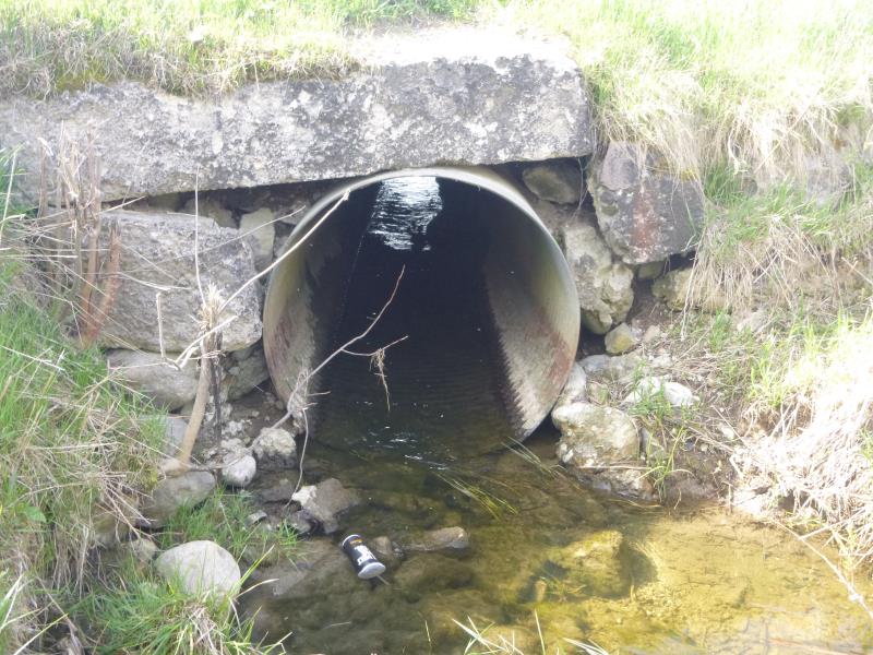
Inlet
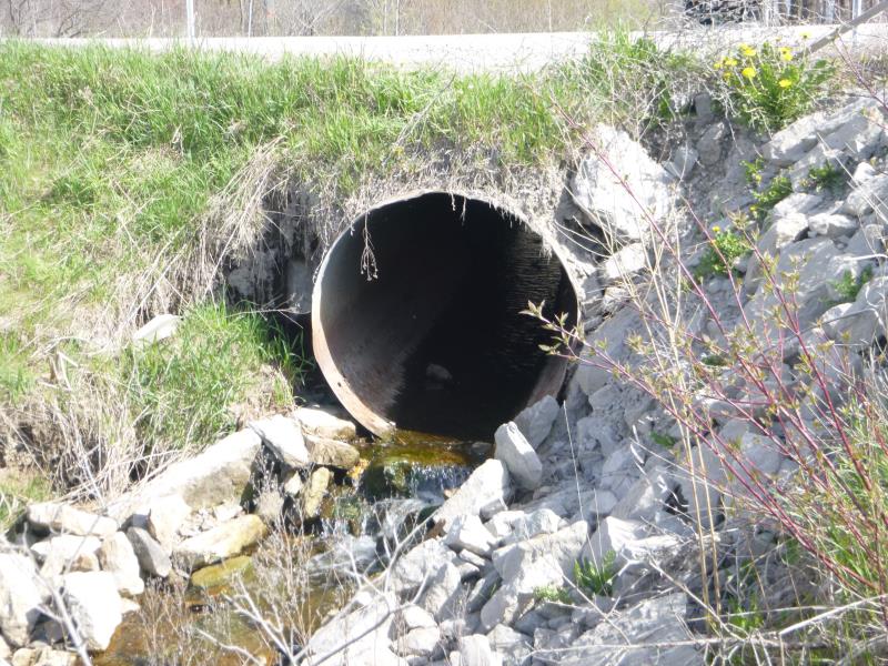
Outlet
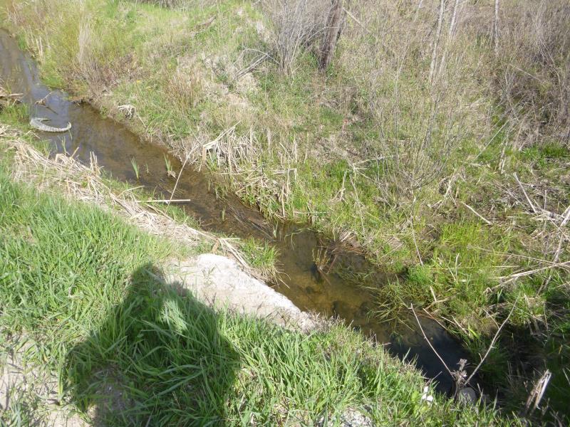
Upstream Conditions
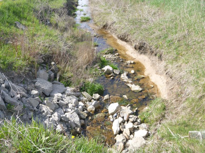
Downstream Conditions
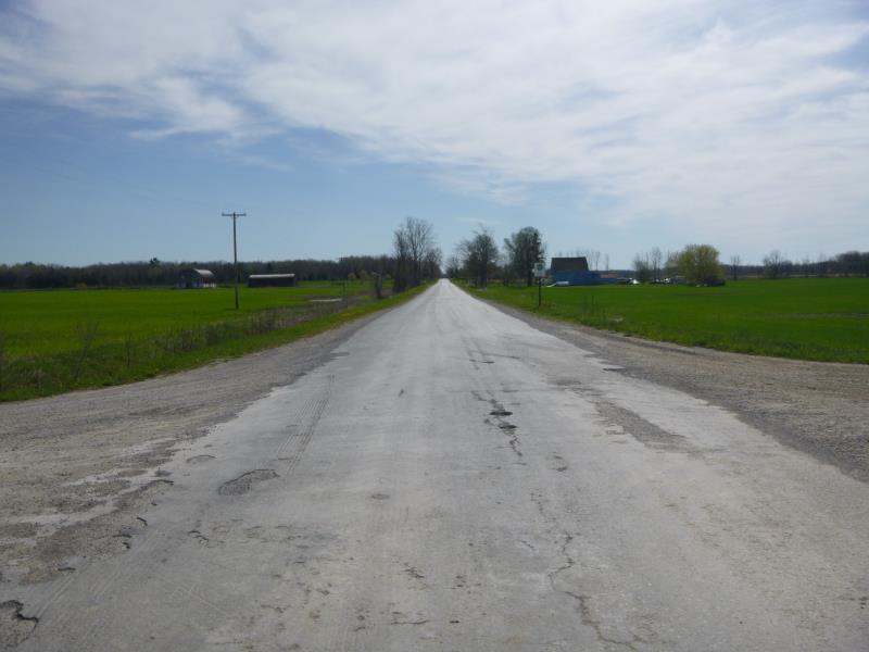
Road Approach - Left
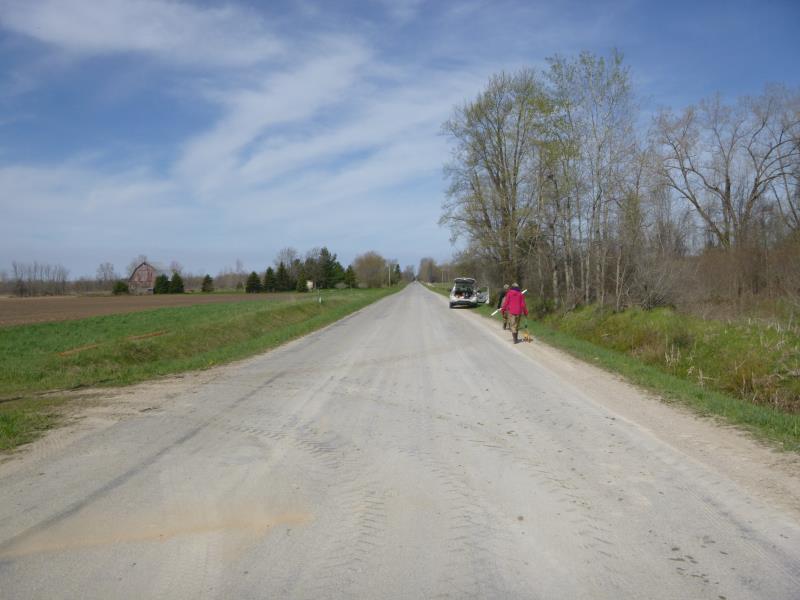
Road Approach - Right
Crossing Information
Type of Crossing: culvert(s)
Number of Structures: 1
Structure Shape: Round
Inlet Type: Headwall
Outlet Type: Cascade over Riprap
Structure Material: Metal
Structure Substrate: None
General Conditions: Fair
Structure Interior: corrugated
Structure is Rusted through
Dimensions of Structure: Length 49 ft.
, Width 4 ft.
, Height 4.1 ft.
Structure is NOT Perched
Structure Inlet
Water Depth: 0.6 ft.
Embedded Depth of Structure: 0 ft.
Water Velocity*: 1 ft./sec.
Structure Outlet
Water Depth: 0.3 ft.
Embedded Depth of Structure: 0 ft.
Water Velocity*: 1 ft./sec.
*Water Velocities were measured at the Surface
(with Float Test)
Stream Information
Stream Flow: Less than 1/2 Bankfull
Scour Pool: Length 0 ft.
, Width 0 ft.
, Depth 0 ft.
Upstream Pond: Length 0 ft.
, Width 0 ft.
, Depth 0 ft.
Riffle Information
Water Depth: 0.4 ft.
Bankfull Width: 8 ft.
Wetted Width: 6.5 ft.
Water Velocity: 0.5 ft./sec.
(Measured with Float Test)
Dominant Substrate: Cobble
Road Information
Paved
County Road
Road Condition: Poor
Road Width at Culvert: 19 ft.
Location of Low Point: Other
Runoff Path: Ditch
Embankments
Upstream
Fill Depth: 2.2 ft.
Slope: More than 1:2
Downstream
Fill Depth: 2.5 ft.
Slope: More than 1:2
Approaches
Left Approach
Length: 1000 ft.
Slope: 1% to 5%
Vegetation: Heavy
LS Factor: 0.57
Erosion: 0.358 tons/year
Right Approach
Length: 0 ft.
Slope: Less Than 1%
Vegetation: Heavy
LS Factor: 0.05
Erosion: 0 tons/year
Erosion Information
Total Erosion at Crossing: 0.435 tons/year
Extent of Erosion: Moderate
Erosion is occurring and corrective actions can be installed to address the problem.
Notes: Replace rip rap to prevent more erosion from occuring
Location of Erosion | Erosion Dimensions | Eroded Material | Material Eroded | Total Erosion | ||
facing downstream | Length | Width | Depth | Reaching Stream? | (tons/year) | |
Right Downstream Embankment |
2.5 ft. |
3 ft. |
4 ft. |
yes |
Sand |
0.077 |
Summary Information
Fish Passability 0.5
These non-native species were observerd at this site: Spotted Knapweed
�