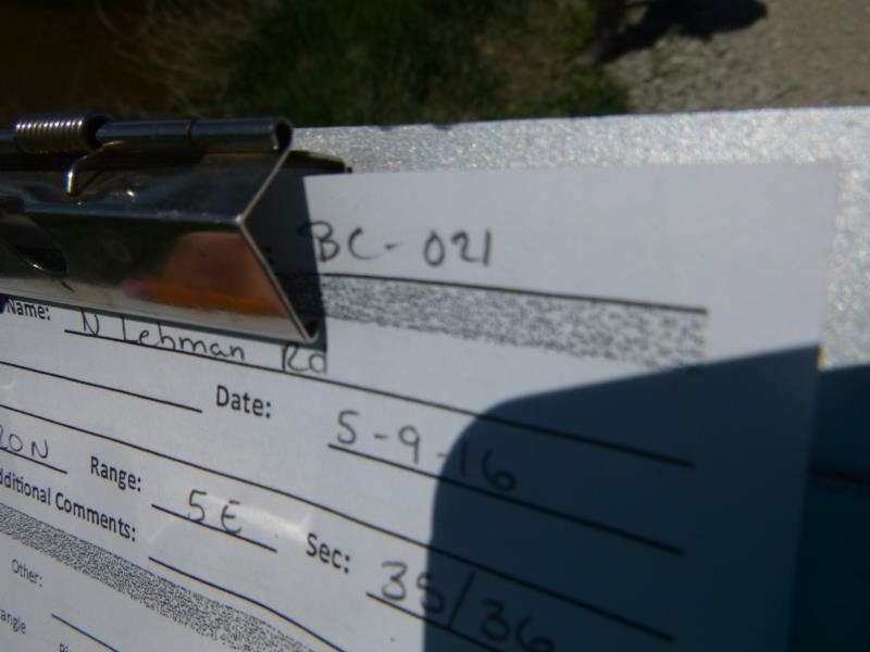
Road Stream Crossing Site CLHW_BC-021
Big Creek Watershed, Big Creek
N Lehman Rd
Mason Twp,
Arenac County
Information collected by:
Site Location
GPS Coordinates: 44.09239
, -83.82709
T20N
R5E
Sec 35
Owned by Private
Fish Passability 1
Structure is NOT Perched
Total Erosion: 4.4077 tons/year
Severity: Severe
Year Inventoried: 2016
Site ID
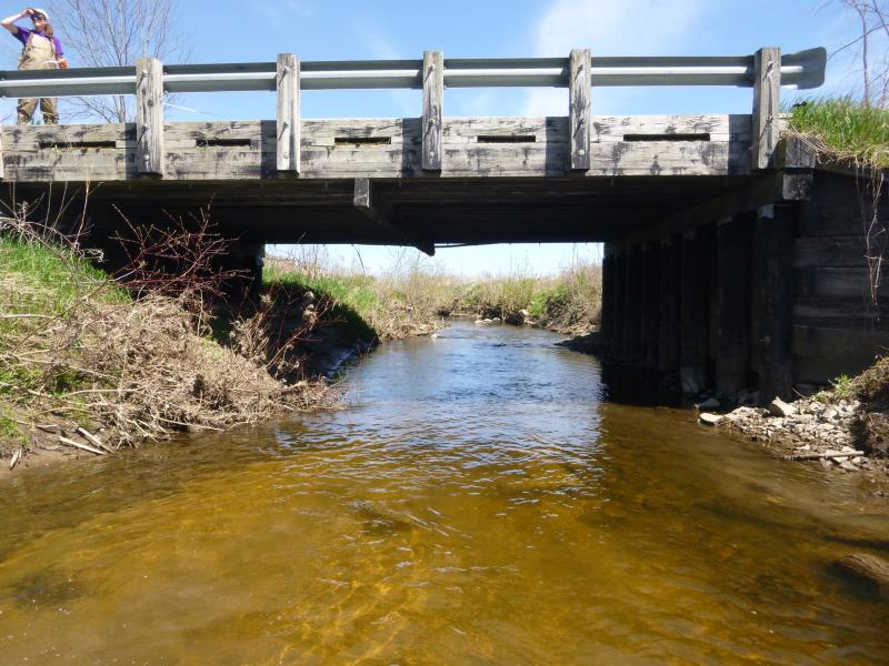
Inlet
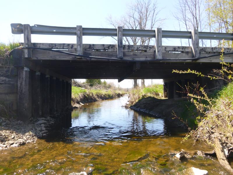
Outlet
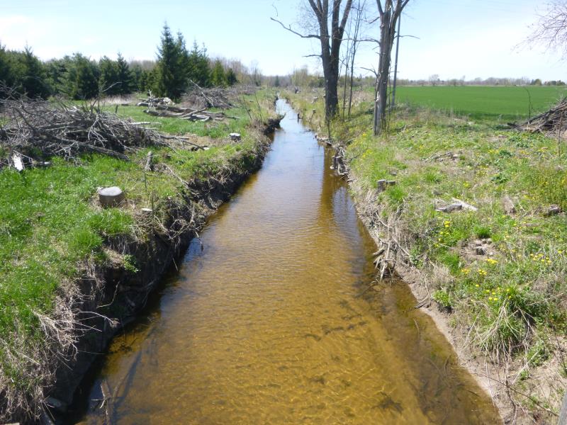
Upstream Conditions
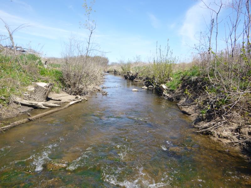
Downstream Conditions
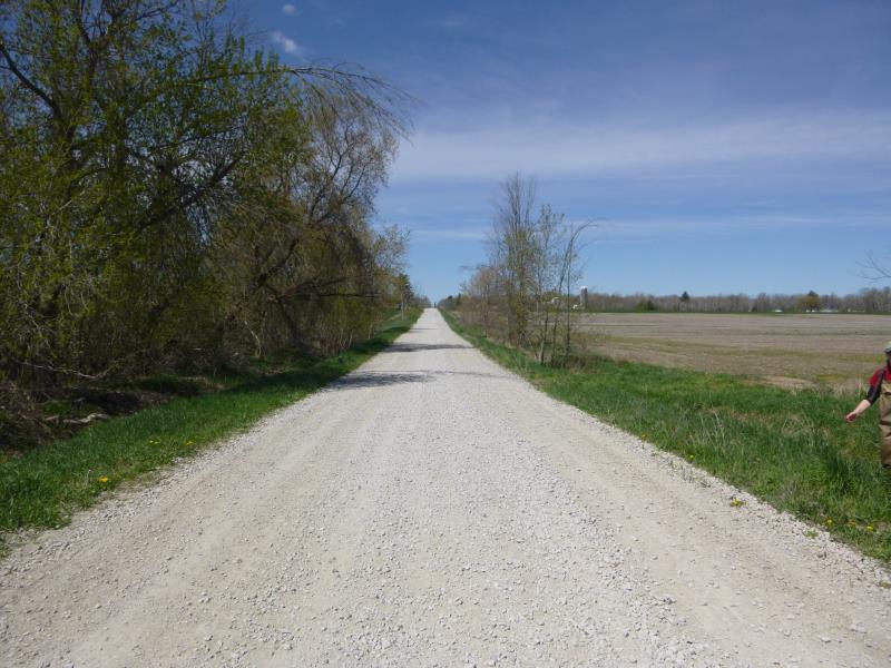
Road Approach - Left
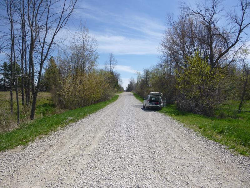
Road Approach - Right
Crossing Information
Type of Crossing: Bridge
Structure Shape: Open Bottom Square/Rectangle
Inlet Type: Wingwall 10-30 Degree
Outlet Type: At Stream Grade
Structure Material: Wood
Structure Substrate: Sand
General Conditions: Poor
Structure Interior: smooth
Dimensions of Structure: Length 29 ft.
, Width 30 ft.
, Height 11.8 ft.
Percentage Crushed:
Inlet: 0%
Outlet: 0%
In Pipe: 1% to 25%
Structure is NOT Perched
Structure Inlet
Water Depth: 1.2 ft.
Embedded Depth of Structure: 0 ft.
Water Velocity*: 1.2 ft./sec.
Structure Outlet
Water Depth: 1.3 ft.
Embedded Depth of Structure: 0 ft.
Water Velocity*: 1.2 ft./sec.
*Water Velocities were measured at the Surface
(with Float Test)
Stream Information
Stream Flow: Less than 1/2 Bankfull
Scour Pool: Length 0 ft.
, Width 0 ft.
, Depth 0 ft.
Upstream Pond: Length 0 ft.
, Width 0 ft.
, Depth 0 ft.
Riffle Information
Water Depth: 1.4 ft.
Bankfull Width: 19.5 ft.
Wetted Width: 15 ft.
Water Velocity: 1.8 ft./sec.
(Measured with Float Test)
Dominant Substrate: Sand
Road Information
Gravel
County Road
Road Condition: Fair
Road Width at Culvert: 18.5 ft.
Location of Low Point: Other
Runoff Path: Ditch
Fill Depth: 0 ft.
Slope: More than 1:2
Fill Depth: 0 ft.
Slope: More than 1:2
Approaches
Left Approach
Length: 1000 ft.
Slope: 1% to 5%
Vegetation: Heavy
LS Factor: 0.57
Erosion: 2.905 tons/year
Right Approach
Length: 573 ft.
Slope: 1% to 5%
Vegetation: Heavy
LS Factor: 0.515
Erosion: 1.5028 tons/year
Erosion Information
Total Erosion at Crossing: 4.4077 tons/year
Summary Information
Fish Passability 1
Erosion is an area of concern for this site.
May need to revisit to survey erosion
�