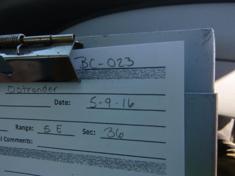
Road Stream Crossing Site CLHW_BC-023
Big Creek Watershed, Big Creek
Ostrander Rd
Mason Twp,
Arenac County
Information collected by:
Site Location
GPS Coordinates: 44.09135
, -83.81361
T20N
R5E
Sec 36
Owned by Private
Fish Passability 1
Structure is NOT Perched
Total Erosion: 0.8437 tons/year
Severity: Minor
Year Inventoried: 2016
Site ID
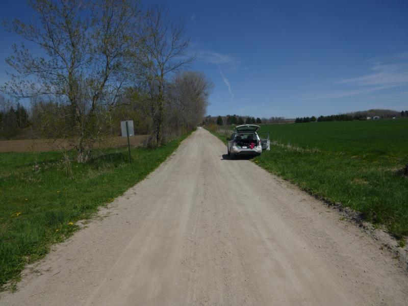
Inlet

Outlet
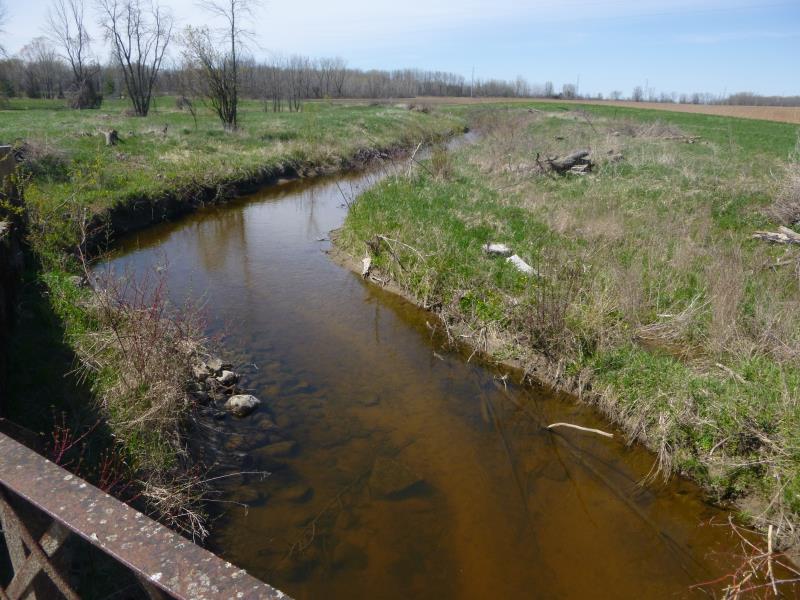
Upstream Conditions
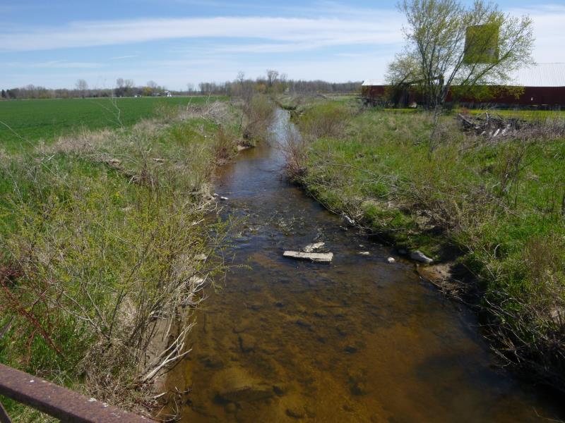
Downstream Conditions
Road Approach - Left
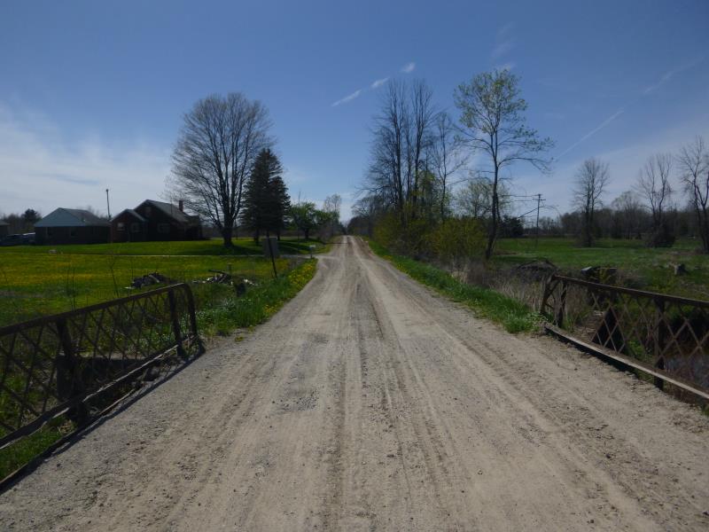
Road Approach - Right
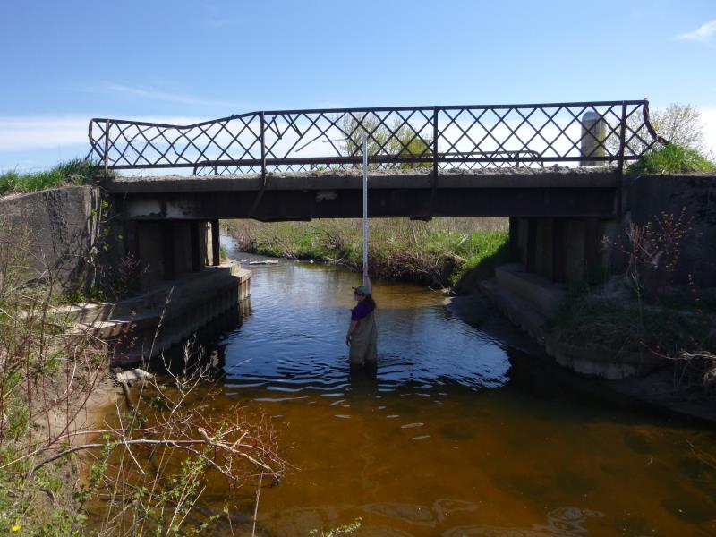
Crossing Information
Type of Crossing: Bridge
Structure Shape: Square/Rectangle
Inlet Type: Wingwall 10-30 Degree
Outlet Type: At Stream Grade
Structure Material: Metal
Structure Substrate: Sand
General Conditions: Poor
Structure Interior: smooth
Structure is Rusted through
Dimensions of Structure: Length 18 ft.
, Width 25.8 ft.
, Height 10 ft.
Percentage Crushed:
Inlet: 76% to 100%
Outlet: 76% to 100%
In Pipe: 76% to 100%
Structure is NOT Perched
Structure Inlet
Water Depth: 1.8 ft.
Embedded Depth of Structure: 0.2 ft.
Water Velocity*: 0.9 ft./sec.
Structure Outlet
Water Depth: 1.4 ft.
Embedded Depth of Structure: 0.2 ft.
Water Velocity*: 0.9 ft./sec.
*Water Velocities were measured at the Surface
(with Float Test)
Stream Information
Stream Flow: Less than 1/2 Bankfull
Scour Pool: Length 0 ft.
, Width 0 ft.
, Depth 0 ft.
Upstream Pond: Length 0 ft.
, Width 0 ft.
, Depth 0 ft.
Riffle Information
Water Depth: 1.4 ft.
Bankfull Width: 19.5 ft.
Wetted Width: 15 ft.
Water Velocity: 1.8 ft./sec.
(Measured with Float Test)
Dominant Substrate: Sand
Road Information
Gravel
County Road
Road Condition: Fair
Road Width at Culvert: 14 ft.
Location of Low Point: Other
Runoff Path: Ditch
Fill Depth: 0 ft.
Slope: Vertical
Fill Depth: 0 ft.
Slope: Vertical
Approaches
Left Approach
Length: 0 ft.
Slope: Less Than 1%
Vegetation: Heavy
LS Factor: 0.05
Erosion: 0 tons/year
Right Approach
Length: 447 ft.
Slope: 1% to 5%
Vegetation: Heavy
LS Factor: 0.489
Erosion: 0.8437 tons/year
Erosion Information
Total Erosion at Crossing: 0.8437 tons/year
Summary Information
Fish Passability 1
Erosion is an area of concern for this site.
Bridge seems to be in danger of failure, consider as a priority for revisit
A future visit to this site is recommended. Because bridge seems to be in dangerous shape with the possibility of future failure
�