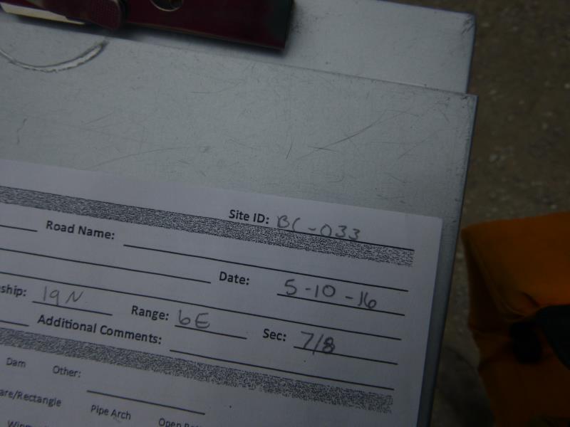
Road Stream Crossing Site CLHW_BC-033
Big Creek Watershed, Unnamed Drain to Big Creek
Crawford Rd
Au Gres,
Arenac County
Information collected by:
Site Location
GPS Coordinates: 44.06275
, -83.78631
T19N
R6E
Sec 7
Owned by Private
Structure is NOT Perched
Total Erosion: 0 tons/year
Severity: Minor
Year Inventoried: 2016
Site ID
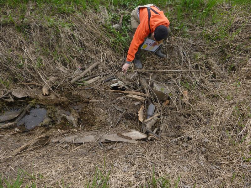
Inlet
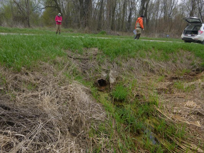
Outlet
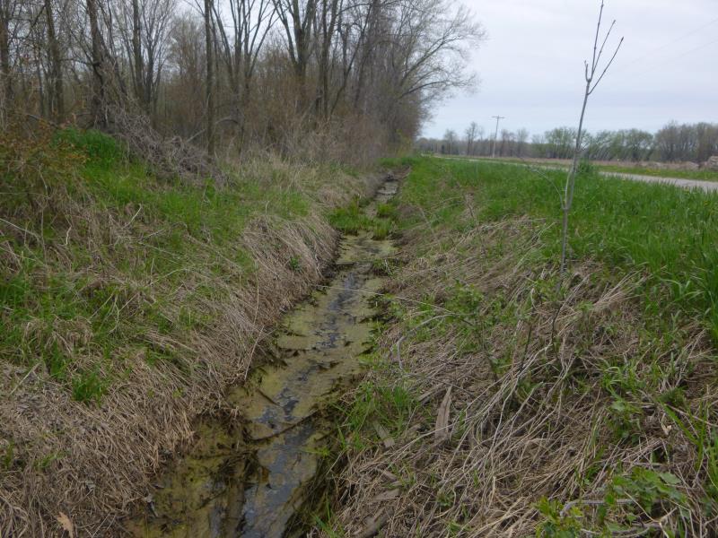
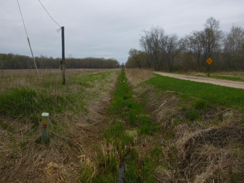
Upstream Conditions
Downstream Conditions
Road Approach - Left
Road Approach - Right
Crossing Information
Type of Crossing: culvert(s)
Number of Structures: 1
Structure Shape: Round
Inlet Type: Projecting
Outlet Type: At Stream Grade
Structure Material: Metal
Structure Substrate: Mixture
General Conditions: Poor
Structure Interior: corrugated
Structure is Rusted through
Dimensions of Structure: Length 44 ft.
, Width 1.7 ft.
, Height 1.7 ft.
Percentage Plugged:
Inlet: 76% to 100%
Outlet: 0%
In Pipe: 0%
Structure is NOT Perched
Structure Inlet
Water Depth: 0.4 ft.
Embedded Depth of Structure: 0 ft.
Water Velocity*: 0 ft./sec.
Structure Outlet
Water Depth: 0.8 ft.
Embedded Depth of Structure: 0 ft.
Water Velocity*: 0 ft./sec.
Stream Information
Stream Flow: None
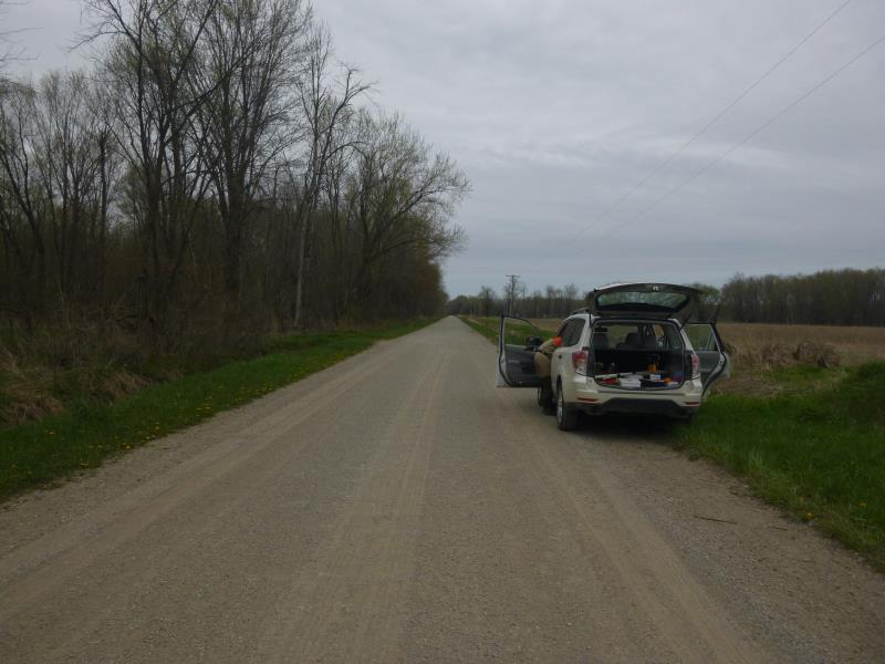
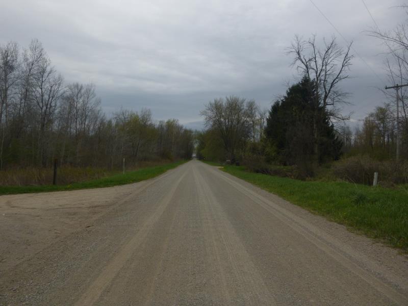
Road Information
Gravel
County Road
Road Condition: Poor
Road Width at Culvert: 20 ft.
Location of Low Point: Other
Runoff Path: Ditch
Embankments
Upstream
Fill Depth: 3.5 ft.
Slope: 1:2
Downstream
Fill Depth: 3.6 ft.
Slope: 1:2
Approaches
Left Approach
Length: 0 ft.
Slope: Less Than 1%
Vegetation: Heavy
LS Factor: 0.05
Erosion: 0 tons/year
Right Approach
Length: 0 ft.
Slope: Less Than 1%
Vegetation: Heavy
LS Factor: 0.05
Erosion: 0 tons/year
Erosion Information
Total Erosion at Crossing: 0 tons/year
Summary Information
These non-native species were observerd at this site: Garlic Mustard
�