Road Stream Crossing Site CLHW_DR-001
Devils River Watershed, South Branch Devils River
Behning Rd
Sanborn Twp,
Alpena County
Information collected by:
Site Location
GPS Coordinates: 44.86901
, -83.47567
T29N
R8E
Sec 33
Owned by Private
Fish Passability 0.9
Structure is NOT Perched
Total Erosion: 6.9514 tons/year
Severity: Severe
Year Inventoried: 2016
Site ID
Inlet
Outlet
Upstream Conditions
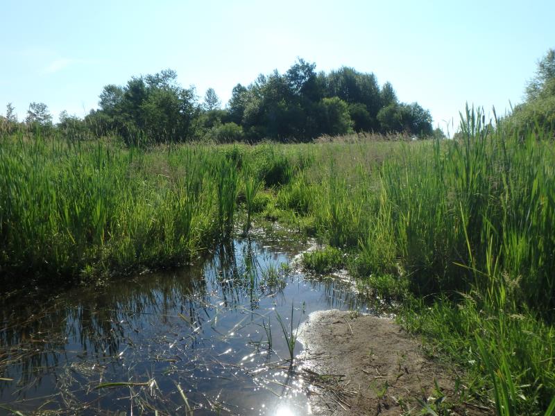
Downstream Conditions
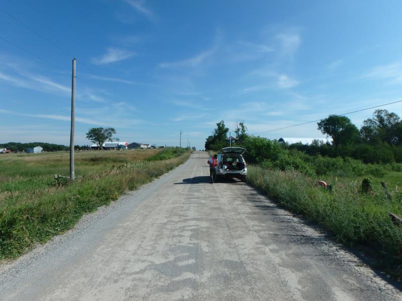
Road Approach - Left
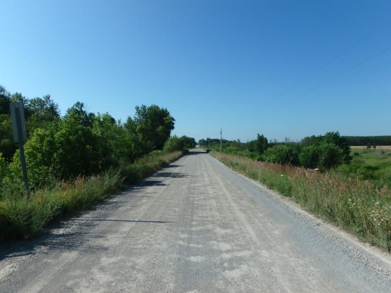
Road Approach - Right
Crossing Information
Type of Crossing: Bridge
Structure Shape: Open Bottom Square/Rectangle
Inlet Type: Wingwall 10-30 Degree
Outlet Type: At Stream Grade
Structure Material: Concrete
Structure Substrate: Sand
General Conditions: Fair
Structure Interior: smooth
Structure is Rusted through
Dimensions of Structure: Length 22 ft.
, Width 30 ft.
, Height 8 ft.
Structure is NOT Perched
Structure Inlet
Water Depth: 1.6 ft.
Embedded Depth of Structure: 0.3 ft.
Water Velocity*: 0 ft./sec.
Structure Outlet
Water Depth: 2.5 ft.
Embedded Depth of Structure: 0.3 ft.
Water Velocity*: 0 ft./sec.
Stream Information
Stream Flow: None
Scour Pool: Length 0 ft.
, Width 0 ft.
, Depth 0 ft.
Upstream Pond: Length 0 ft.
, Width 0 ft.
, Depth 0 ft.
Riffle Information
Water Depth: 0 ft.
Bankfull Width: 0 ft.
Wetted Width: 0 ft.
Water Velocity: 0 ft./sec.
Road Information
Gravel
County Road
Road Condition: Fair
Road Width at Culvert: 20 ft.
Location of Low Point: At Stream
Runoff Path: Ditch
Fill Depth: 0 ft.
Fill Depth: 0 ft.
Approaches
Left Approach
Length: 440 ft.
Slope: 6% to 10%
Vegetation: Heavy
LS Factor: 1.572
Erosion: 3.8109 tons/year
Right Approach
Length: 1000 ft.
Slope: 1% to 5%
Vegetation: Heavy
LS Factor: 0.57
Erosion: 3.1405 tons/year
Erosion Information
Total Erosion at Crossing: 6.9514 tons/year
Summary Information
Fish Passability 0.9
These non-native species were observerd at this site: Purple Loosestrife
�