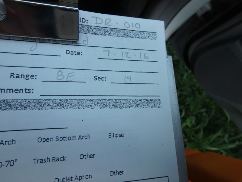
Road Stream Crossing Site CLHW_DR-010
Devils River Watershed, South Branch Devils River
Margret Rd
Sanborn Twp,
Alpena County
Information collected by:
Site Location
GPS Coordinates: 44.91332
, -83.44441
T29N
R8E
Sec 14
Owned by Private
Fish Passability 0.5
Structure is NOT Perched
Total Erosion: 0.9063 tons/year
Severity: Moderate
Year Inventoried: 2016
Site ID
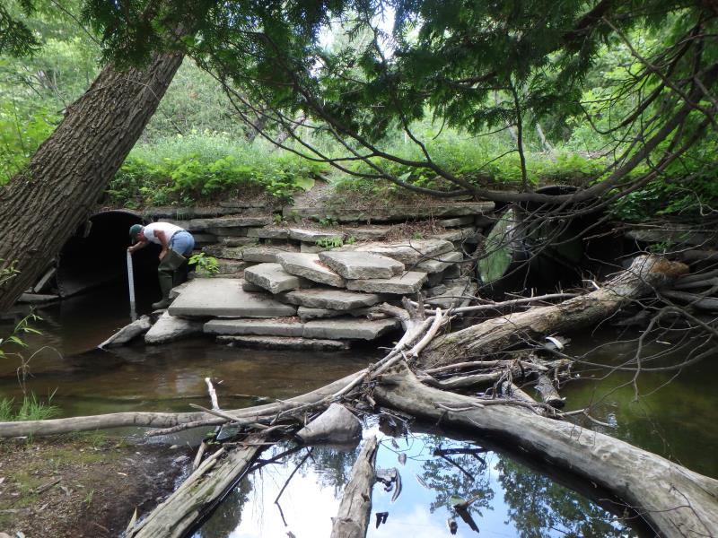
Inlet
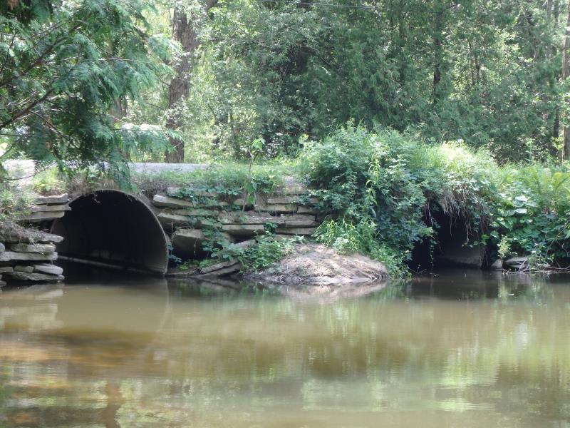
Outlet
Upstream Conditions
Downstream Conditions
Road Approach - Left
Road Approach - Right
Crossing Information
Type of Crossing: culvert(s)
Number of Structures: 2
Structure Shape: Round
Inlet Type: Projecting
Outlet Type: At Stream Grade
Structure Material: Metal
Structure Substrate: None
General Conditions: Poor
Multiple Culverts/Spans | ||||
Culvert/Span | Width | Length | Height | Material |
1 |
7 ft. |
40 ft. |
7 ft. |
Metal |
2 |
7 ft. |
40 ft. |
7 ft. |
Metal |
Structure Interior: smooth
Structure is Rusted through
Dimensions of Structure: Length 40 ft.
, Width 7 ft.
, Height 7 ft.
Percentage Plugged:
Inlet: 26% to 50%
Outlet: 0%
In Pipe: 0%
Structure is NOT Perched
Structure Inlet
Water Depth: 2.4 ft.
Embedded Depth of Structure: 0 ft.
Water Velocity*: 0.3 ft./sec.
Structure Outlet
Water Depth: 1.3 ft.
Embedded Depth of Structure: 0 ft.
Water Velocity*: 0.3 ft./sec.
*Water Velocities were measured at the Surface
(with Float Test)
Additional Comments
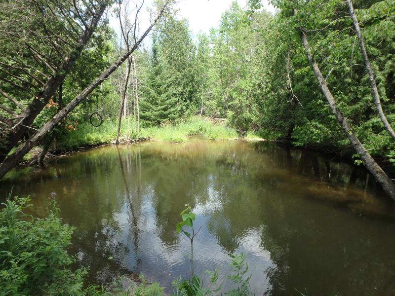
Human-made 'scour pool'; rocks used to block up stream to create large swimming area at outlet
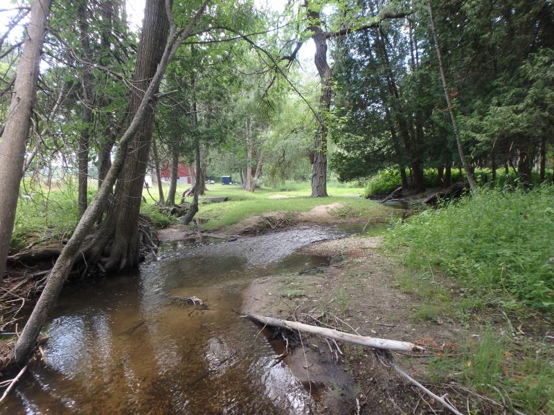
Stream Information
Stream Flow: Less than 1/2 Bankfull
Scour Pool: Length 75 ft.
, Width 60 ft.
, Depth 5 ft.
Upstream Pond: Length 0 ft.
, Width 0 ft.
, Depth 0 ft.
Riffle Information
Water Depth: 0.7 ft.
Bankfull Width: 32 ft.
Wetted Width: 23 ft.
Water Velocity: 0.4 ft./sec.
(Measured with Float Test)
Dominant Substrate: Gravel
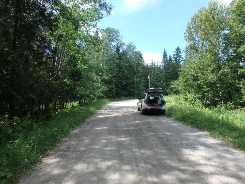
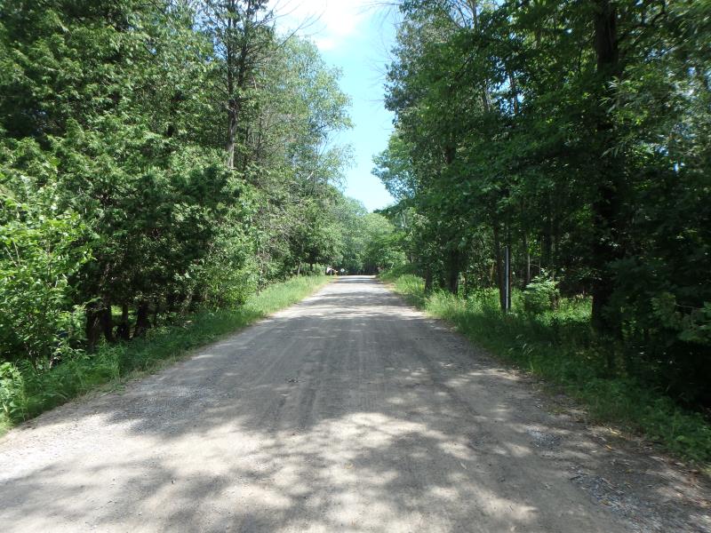
Road Information
Gravel
Town Road
Road Condition: Good
Road Width at Culvert: 20 ft.
Location of Low Point: Other
Runoff Path: Ditch
Embankments
Upstream
Fill Depth: 1 ft.
Slope: Vertical
Downstream
Fill Depth: 1 ft.
Slope: Vertical
Approaches
Left Approach
Length: 0 ft.
Slope: Less Than 1%
Vegetation: Heavy
LS Factor: 0.05
Erosion: 0 tons/year
Right Approach
Length: 350 ft.
Slope: 1% to 5%
Vegetation: Heavy
LS Factor: 0.47
Erosion: 0.9063 tons/year
Erosion Information
Total Erosion at Crossing: 0.9063 tons/year
Summary Information
Fish Passability 0.5
Fish Passage is an area of concern for this site.
Culverts seem to be too small and old; may need replacement in the future
A future visit to this site is recommended. To follow-up on condition of crossing
�