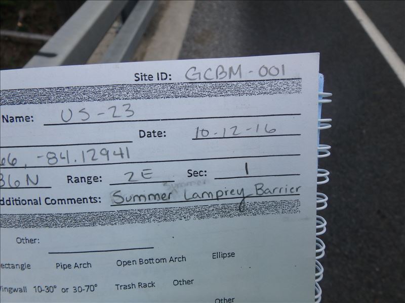
Road Stream Crossing Site CLHW_GCBM-001
Greene Creek-Black Mallard River Watershed, Black Mallard River
US-23
Bearinger Twp,
Presque Isle County
Information collected by:
Site Location
GPS Coordinates: 45.53666
, -84.12941
T36N
R2E
Sec 1
Owned by Private
Structure is NOT Perched
Total Erosion: 1.2813 tons/year
Severity: Moderate
Year Inventoried: 2016
Site ID
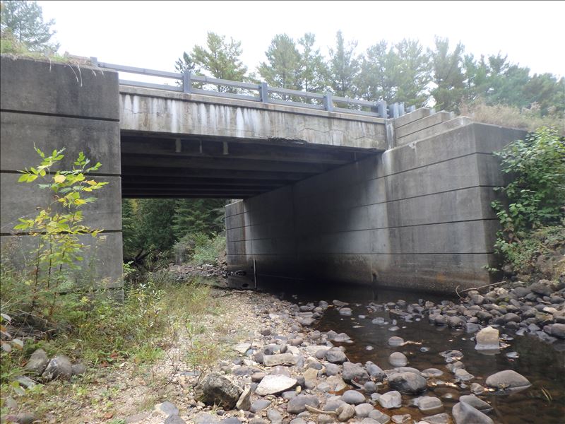
Inlet
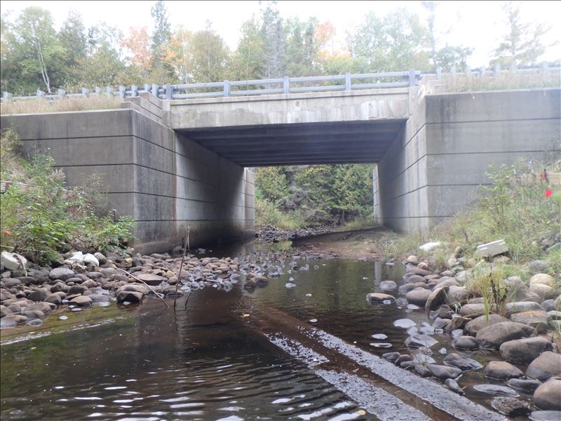
Outlet
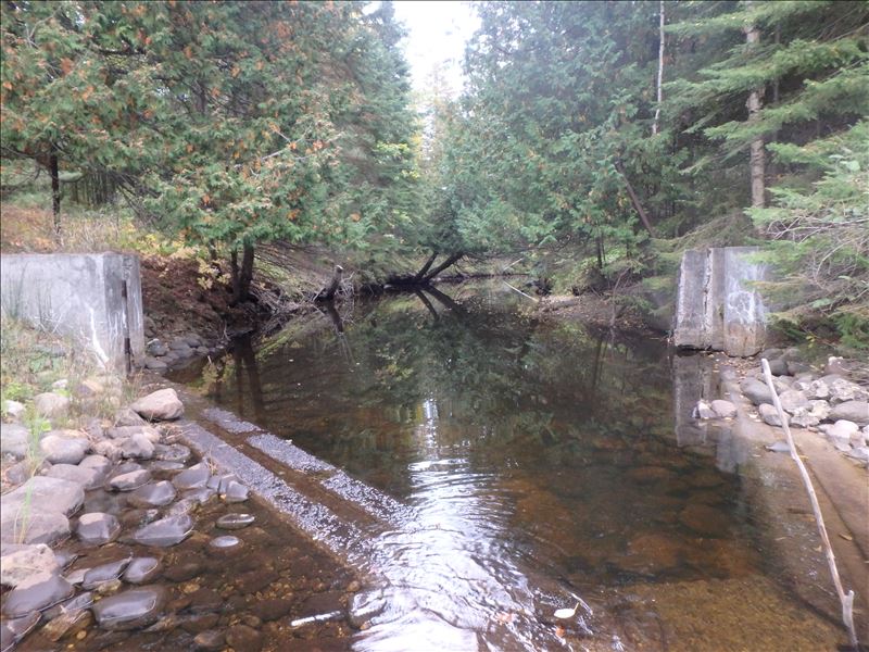
Downstream Conditions
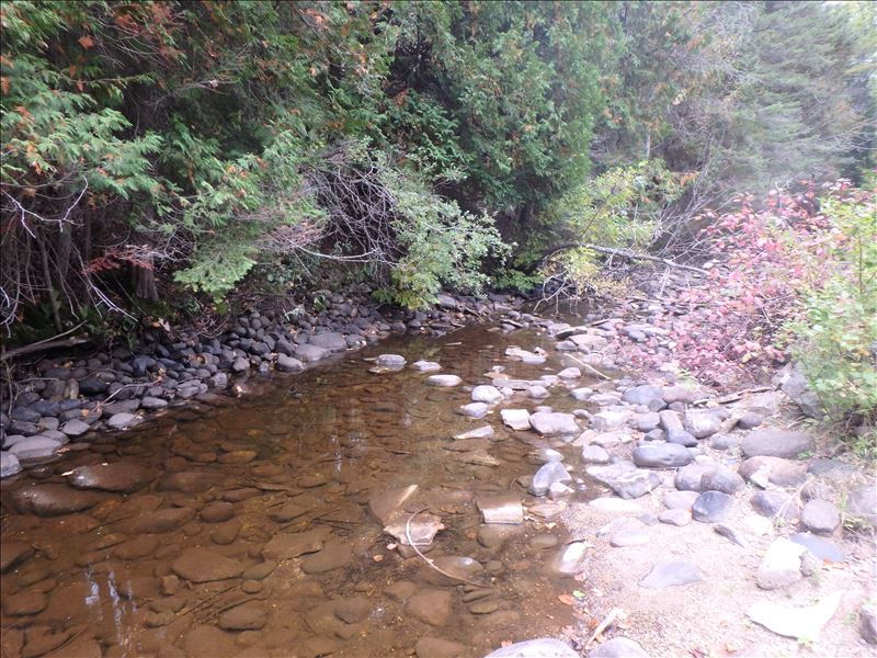
Upstream Conditions
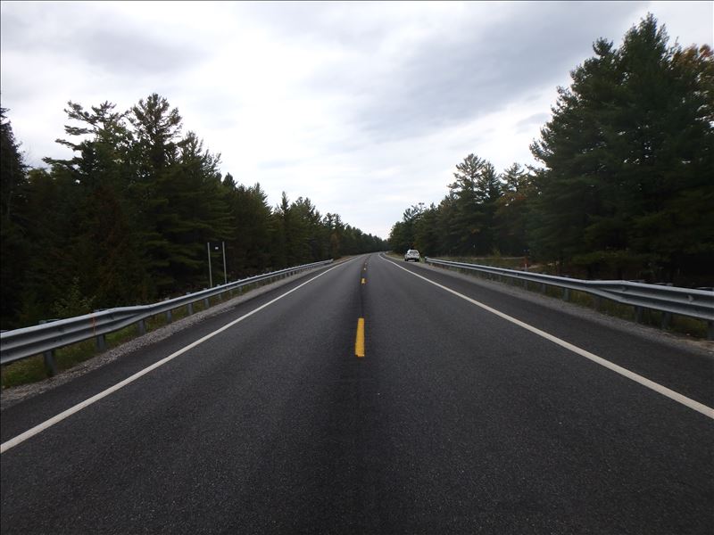
Road Approach - Left
Road Approach - Right
Crossing Information
Type of Crossing: Bridge
Structure Shape: Open Bottom Square/Rectangle
Inlet Type: Headwall
Outlet Type: At Stream Grade
Structure Material: Concrete
Structure Substrate: Rock
General Conditions: Fair
Structure Interior: smooth
Dimensions of Structure: Length 42 ft.
, Width 28 ft.
, Height 15 ft.
Structure is NOT Perched
Structure Inlet
Water Depth: 0.5 ft.
Embedded Depth of Structure: 0.1 ft.
Water Velocity*: 0.3 ft./sec.
Structure Outlet
Water Depth: 0.2 ft.
Embedded Depth of Structure: 0.1 ft.
Water Velocity*: 0.3 ft./sec.
(with Float Test)
Additional Comments
Over summer months, this crossing had an experimental electric sea lamprey barrier in place
Stream Information
Stream Flow: Less than 1/2 Bankfull
Riffle Information
Water Depth: 2.3 ft.
Bankfull Width: 45 ft.
Wetted Width: 29 ft.
Water Velocity: 0.1 ft./sec.
(Measured with Float Test)
Dominant Substrate: Gravel
Road Information
Paved
Federal Road
Road Condition: Good
Road Width at Culvert: 34 ft.
Location of Low Point: Other
Runoff Path: Ditch
Fill Depth: 0 ft.
Slope: Vertical
Fill Depth: 0 ft.
Slope: Vertical
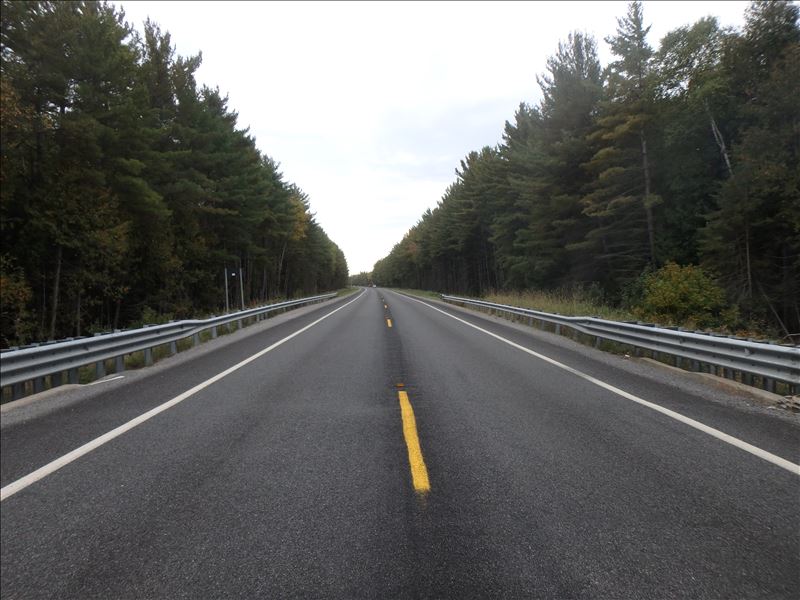
Approaches
Left Approach
Length: 1000 ft.
Slope: 1% to 5%
Vegetation: Heavy
LS Factor: 0.57
Erosion: 0.6407 tons/year
Right Approach
Length: 1000 ft.
Slope: 1% to 5%
Vegetation: Heavy
LS Factor: 0.57
Erosion: 0.6407 tons/year
Erosion Information
Total Erosion at Crossing: 1.2813 tons/year
Extent of Erosion: Moderate
Summary Information
Erosion is an area of concern for this site.
�