Road Stream Crossing Site CLHW_GCBM-003
Greene Creek-Black Mallard River Watershed, Grace Creek
Grace Harbor Rd
Bearinger Twp,
Presque Isle County
Information collected by:
Site Location
GPS Coordinates: 45.55201
, -84.13239
T37N
R2E
Sec 25
Owned by Private
Fish Passability 0.5
Structure is NOT Perched
Total Erosion: 2.0058 tons/year
Severity: Severe
Year Inventoried: 2016
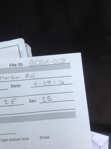
Site ID
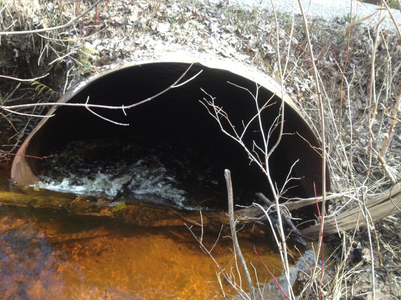
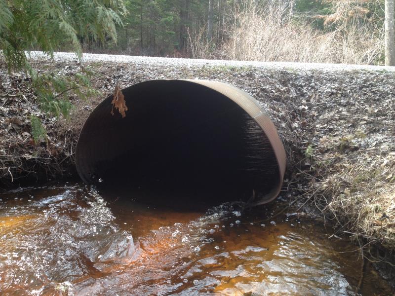
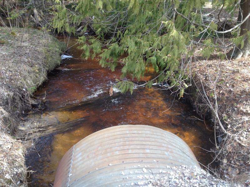
Inlet
Outlet
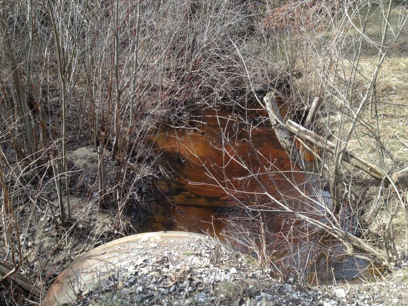
Upstream Conditions
Downstream Conditions
Road Approach - Left
Road Approach - Right
Crossing Information
Type of Crossing: culvert(s)
Number of Structures: 1
Structure Shape: Pipe Arch
Inlet Type: Projecting
Outlet Type: At Stream Grade
Structure Material: Metal
Structure Substrate: None
General Conditions: Fair
Structure Interior: corrugated
Structure is Rusted through
Dimensions of Structure: Length 30 ft.
, Width 5 ft.
, Height 4 ft.
Percentage Plugged:
Inlet: 1% to 25%
Outlet: 0%
In Pipe: 0%
Structure is NOT Perched
Structure Inlet
Water Depth: 1 ft.
Embedded Depth of Structure: 0 ft.
Water Velocity*: 2.4 ft./sec.
Structure Outlet
Water Depth: 0.5 ft.
Embedded Depth of Structure: 0 ft.
Water Velocity*: 2.4 ft./sec.
*Water Velocities were measured at the Surface
(with Float Test)
Stream Information
Stream Flow: Less than 1/2 Bankfull
Scour Pool: Length 15 ft.
, Width 13 ft.
, Depth 1.2 ft.
Riffle Information
Water Depth: 0.9 ft.
Bankfull Width: 14 ft.
Wetted Width: 11 ft.
Water Velocity: 1.2 ft./sec.
(Measured with Float Test)
Dominant Substrate: Sand
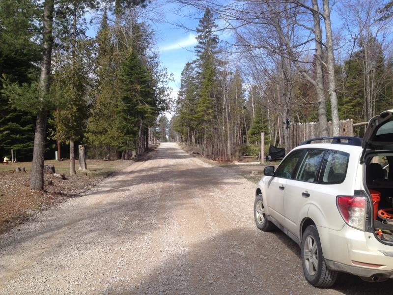
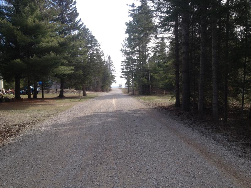
Road Information
Gravel
County Road
Road Condition: Fair
Road Width at Culvert: 17 ft.
Location of Low Point: Other
Runoff Path: Ditch
Embankments
Upstream
Fill Depth: 0.3 ft.
Slope: More than 1:2
Downstream
Fill Depth: 0.7 ft.
Slope: More than 1:2
Approaches
Left Approach
Length: 610 ft.
Slope: 1% to 5%
Vegetation: Partial
LS Factor: 0.684
Erosion: 1.9526 tons/year
Right Approach
Length: 0 ft.
Slope: Less Than 1%
Vegetation: Partial
LS Factor: 0.05
Erosion: 0 tons/year
Erosion Information
Total Erosion at Crossing: 2.0058 tons/year
Extent of Erosion: Moderate
Location of Erosion | Erosion Dimensions | Eroded Material | Material Eroded | Total Erosion | ||
facing downstream | Length | Width | Depth | Reaching Stream? | (tons/year) | |
Right Upstream Embankment |
2 ft. |
3.5 ft. |
3.8 ft. |
yes |
Gravel |
0.0532 |
Summary Information
Fish Passability 0.5
�