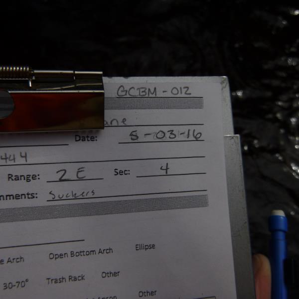
Road Stream Crossing Site CLHW_GCBM-012
Greene Creek-Black Mallard River Watershed, Mulligan Creek
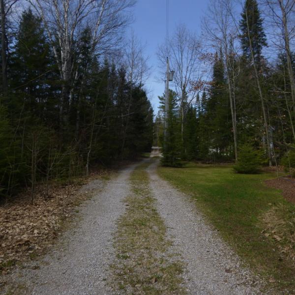
Sandpiper Lane
Bearinger Twp,
Presque Isle County
Information collected by:
Site Location
GPS Coordinates: 45.61699
, -84.19444
T37N
R2E
Sec 4
Owned by Private
Fish Passability 0
Perch Height: 2.2 ft.
Total Erosion: 0.4077 tons/year
Severity: Severe
Year Inventoried: 2016
Site ID
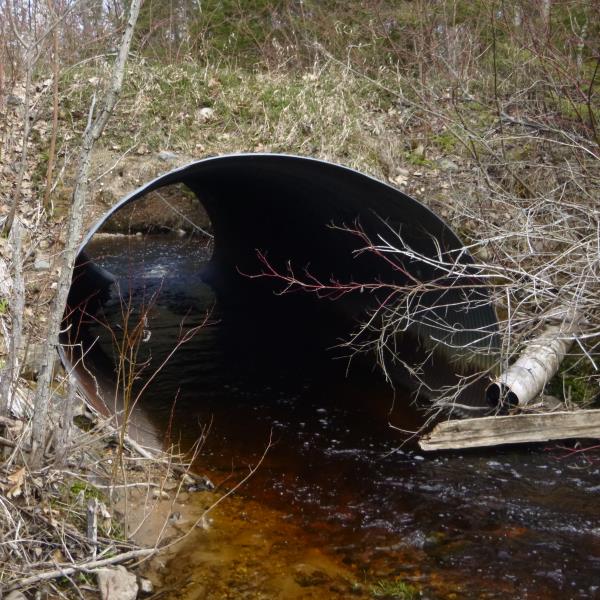
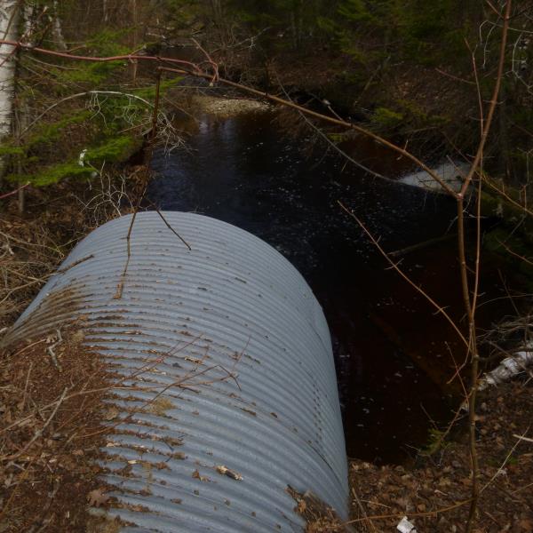
Inlet
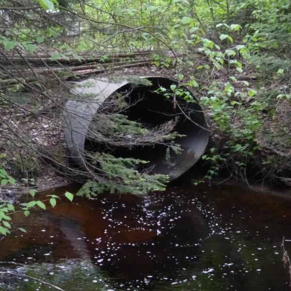
Outlet
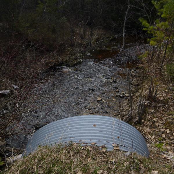
Upstream Conditions
Downstream Conditions
Road Approach - Left
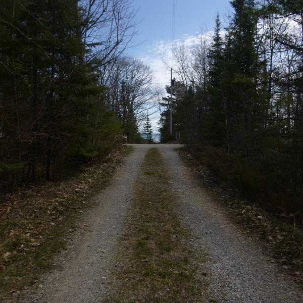
Road Approach - Right
Crossing Information
Type of Crossing: culvert(s)
Number of Structures: 1
Structure Shape: Ellipse
Inlet Type: Projecting
Outlet Type: Freefall into Pool
Structure Material: Metal
Structure Substrate: None
General Conditions: Good
Structure Interior: corrugated
Dimensions of Structure: Length 42 ft.
, Width 8 ft.
, Height 6.4 ft.
Percentage Crushed:
Inlet: 0%
Outlet: 0%
In Pipe: 1% to 25%
Perch Height: 2.2 ft.
Structure Inlet
Water Depth: 0.9 ft.
Embedded Depth of Structure: 0 ft.
Water Velocity*: 3.1 ft./sec.
Structure Outlet
Water Depth: 0.6 ft.
Embedded Depth of Structure: 0 ft.
Water Velocity*: 3.1 ft./sec.
*Water Velocities were measured at the Surface
(with Float Test)
Stream Information
Stream Flow: Less than 1/2 Bankfull
Scour Pool: Length 42 ft.
, Width 24 ft.
, Depth 4 ft.
Riffle Information
Water Depth: 0.6 ft.
Bankfull Width: 14 ft.
Wetted Width: 12 ft.
Water Velocity: 1.7 ft./sec.
(Measured with Float Test)
Dominant Substrate: Cobble
Road Information
Gravel
Private Road
(Seasonal)
Road Condition: Fair
Road Width at Culvert: 10 ft.
Location of Low Point: At Stream
Runoff Path: Ditch
Embankments
Upstream
Fill Depth: 1.5 ft.
Slope: More than 1:2
Downstream
Fill Depth: 1.5 ft.
Slope: More than 1:2
Approaches
Left Approach
Length: 250 ft.
Slope: 1% to 5%
Vegetation: Heavy
LS Factor: 0.44
Erosion: 0.303 tons/year
Right Approach
Length: 100 ft.
Slope: 1% to 5%
Vegetation: Heavy
LS Factor: 0.38
Erosion: 0.1047 tons/year
Erosion Information
Total Erosion at Crossing: 0.4077 tons/year
Summary Information
Fish Passability 0
Fish Passage is an area of concern for this site.
Culvert is perched too high for any fish passage; this is the first/last culvert before stream reaches Lake Huron, so this may be considered a priority to reconnect upstream habitat
A future visit to this site is recommended. To determine if stream should be considered a priority
�