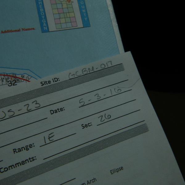
Road Stream Crossing Site CLHW_GCBM-017
Greene Creek-Black Mallard River Watershed, Unnamed stream
US-23
Benton Twp,
Cheboygan County
Information collected by:
Site Location
GPS Coordinates: 45.64271
, -84.28928
T38N
R1E
Sec 26
Owned by Private
Structure is NOT Perched
Total Erosion: 0.1101 tons/year
Severity: Minor
Year Inventoried: 2016
Site ID
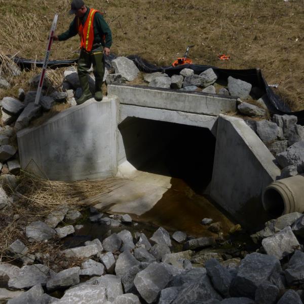
Inlet
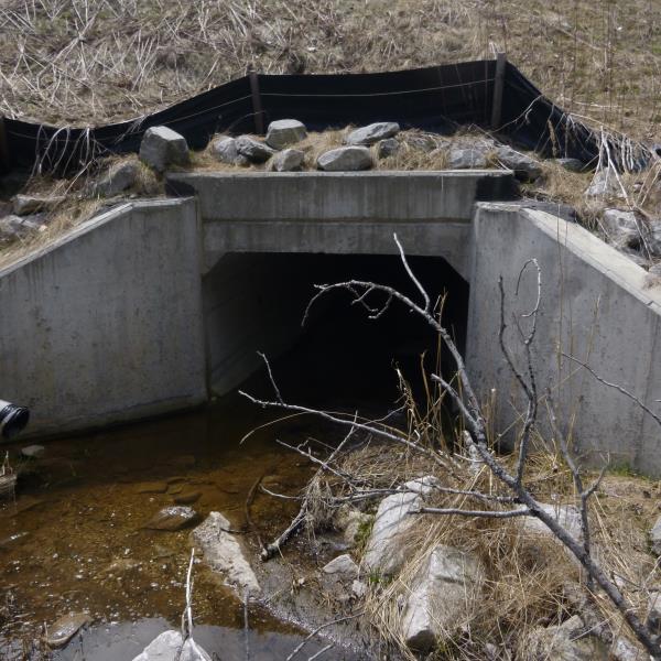
Outlet
Upstream Conditions
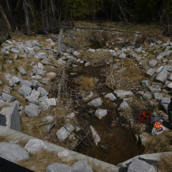
Downstream Conditions
Road Approach - Left
Road Approach - Right
Crossing Information
Type of Crossing: culvert(s)
Number of Structures: 1
Structure Shape: Square/Rectangle
Inlet Type: Wingwall 10-30 Degree
Outlet Type: At Stream Grade
Structure Material: Concrete
Structure Substrate: None
General Conditions: New
Structure Interior: smooth
Dimensions of Structure: Length 142 ft.
, Width 6 ft.
, Height 4 ft.
Structure is NOT Perched
Structure Inlet
Water Depth: 0.1 ft.
Embedded Depth of Structure: 0 ft.
Water Velocity*: 0 ft./sec.
Structure Outlet
Water Depth: 0.3 ft.
Embedded Depth of Structure: 0 ft.
Water Velocity*: 0 ft./sec.
Additional Comments
Brand new crossing recently put in by Road Commision
Stream Information
Stream Flow: None
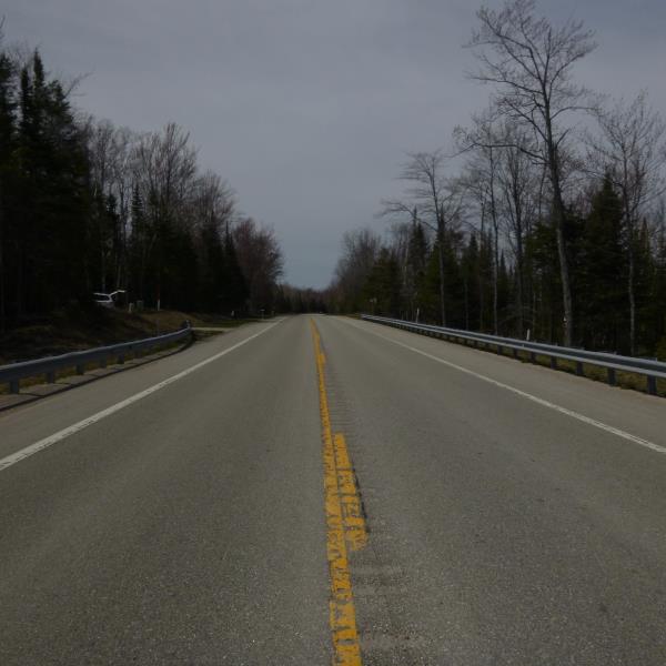
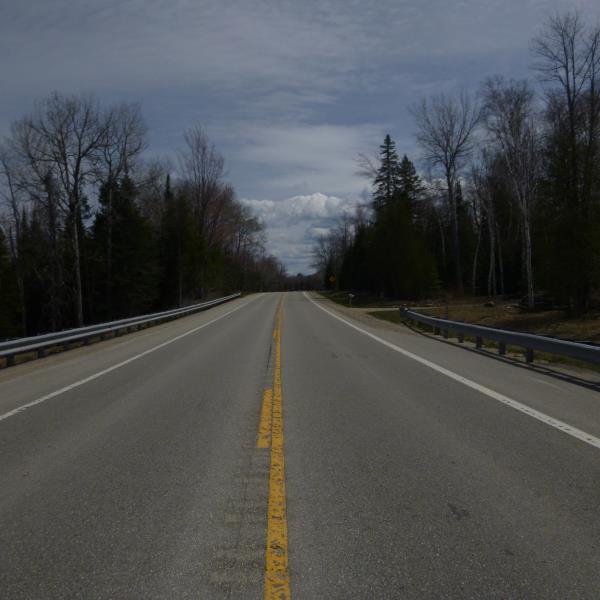
Road Information
Paved
Federal Road
Road Condition: Fair
Road Width at Culvert: 34 ft.
Location of Low Point: At Stream
Runoff Path: Ditch
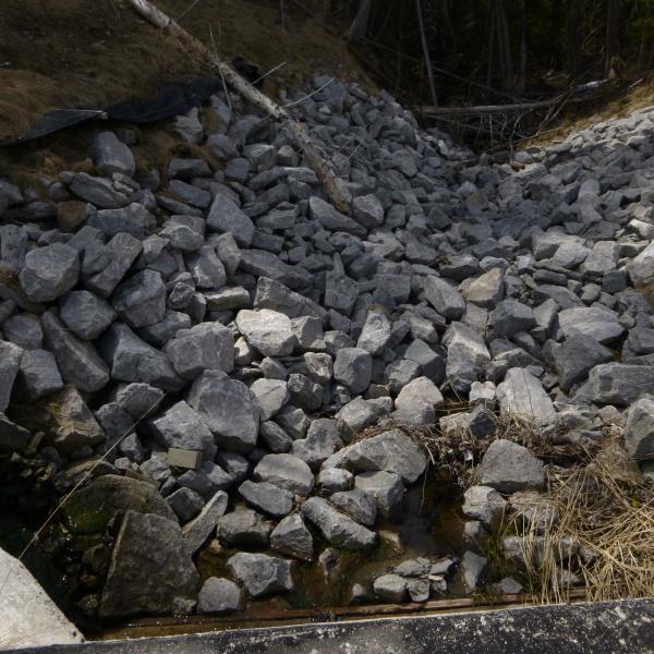
Embankments
Upstream
Fill Depth: 9 ft.
Slope: More than 1:2
Downstream
Fill Depth: 15 ft.
Slope: 1:2
Approaches
Left Approach
Length: 100 ft.
Slope: 1% to 5%
Vegetation: Heavy
LS Factor: 0.38
Erosion: 0.0427 tons/year
Right Approach
Length: 150 ft.
Slope: 1% to 5%
Vegetation: Heavy
LS Factor: 0.4
Erosion: 0.0674 tons/year
Erosion Information
Total Erosion at Crossing: 0.1101 tons/year
Summary Information
These non-native species were observerd at this site: Garlic Mustard
�