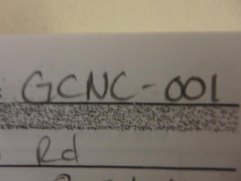
Road Stream Crossing Site CLHW_GCNC-001
Grass Creek-Norwegian Creek Watershed
E Hamilton Rd
Alpena,
Alpena County
Information collected by:
Site Location
GPS Coordinates: 45.10523
, -83.40637
T31N
R8E
Sec 12
Owned by Private
Structure is NOT Perched
Total Erosion: 0.8392 tons/year
Severity: Minor
Year Inventoried: 2016
Site ID
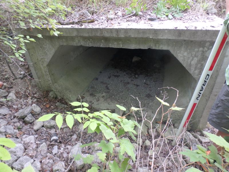
Inlet
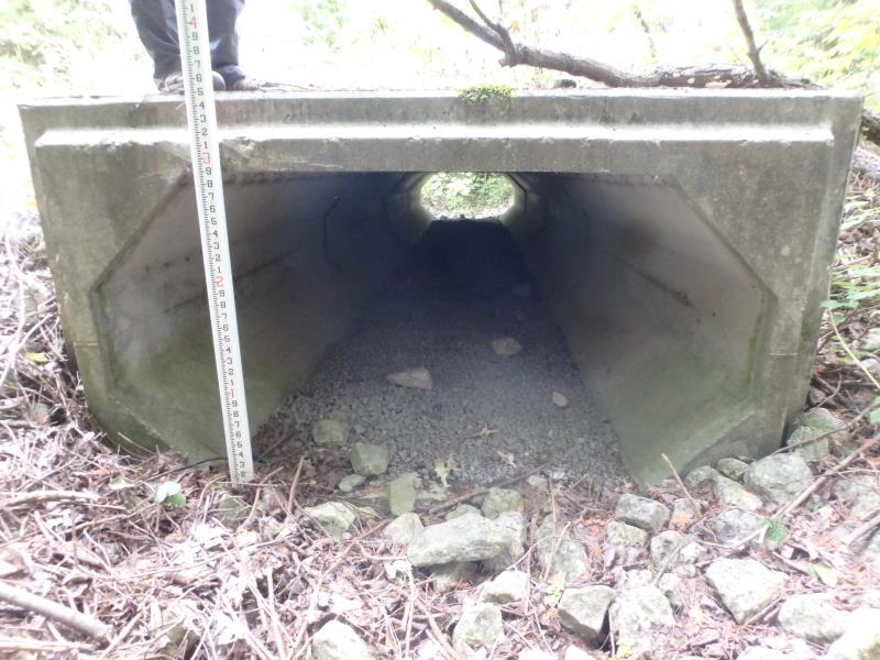
Outlet
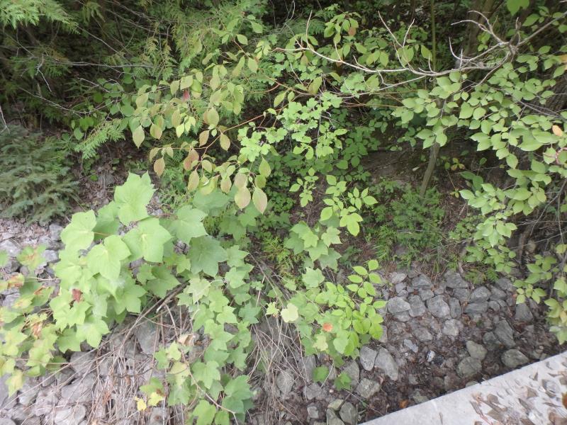
Upstream Conditions
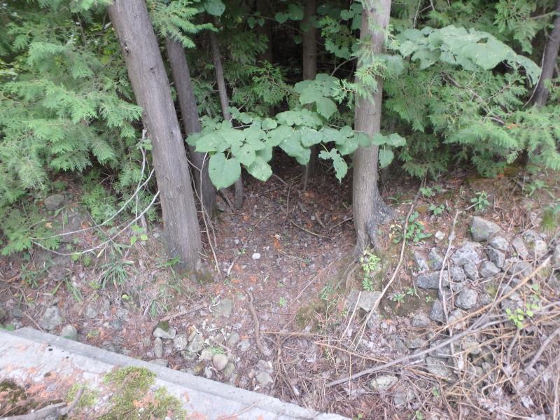
Downstream Conditions
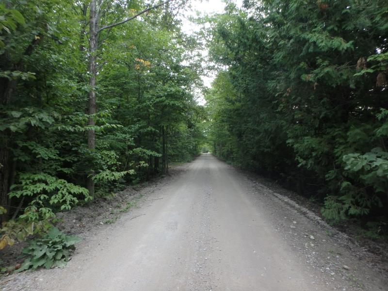
Road Approach - Left
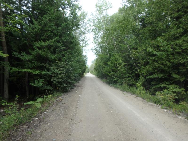
Road Approach - Right
Crossing Information
Type of Crossing: culvert(s)
Number of Structures: 1
Structure Shape: Square/Rectangle
Inlet Type: Projecting
Outlet Type: At Stream Grade
Structure Material: Concrete
Structure Substrate: Gravel
General Conditions: Good
Structure Interior: smooth
Dimensions of Structure: Length 32 ft.
, Width 6 ft.
, Height 3 ft.
Structure is NOT Perched
Water Depth: 0 ft.
Embedded Depth of Structure: 0 ft.
Water Velocity*: 0 ft./sec.
Water Depth: 0 ft.
Embedded Depth of Structure: 0 ft.
Water Velocity*: 0 ft./sec.
(with Float Test)
Stream Information
Stream Flow: None
Bankfull Width: 12 ft.
(Measured with Meter)
Dominant Substrate: Sand
Road Information
Gravel
County Road
Road Condition: Good
Road Width at Culvert: 14 ft.
Location of Low Point: Other
Runoff Path: Ditch
Embankments
Upstream
Fill Depth: 1 ft.
Slope: Vertical
Downstream
Fill Depth: 1 ft.
Slope: Vertical
Approaches
Left Approach
Length: 445 ft.
Slope: 1% to 5%
Vegetation: Heavy
LS Factor: 0.489
Erosion: 0.8392 tons/year
Right Approach
Length: 0 ft.
Slope: Less Than 1%
Vegetation: Heavy
LS Factor: 0.05
Erosion: 0 tons/year
Erosion Information
Total Erosion at Crossing: 0.8392 tons/year
Extent of Erosion: Moderate
Summary Information
Erosion is an area of concern for this site.
No, culvert is in good shape and this is the last crossing before the stream ends
�