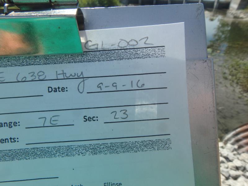
Road Stream Crossing Site CLHW_GL-002
Grand Lake Watershed, Grand Lake outlet
E 638 Hwy
Krakow Twp,
Presque Isle County
Information collected by:
Site Location
GPS Coordinates: 45.33088
, -83.56012
T34N
R7E
Sec 23
Owned by Private
Fish Passability 0.9
Structure is NOT Perched
Total Erosion: 1.2165 tons/year
Severity: Moderate
Year Inventoried: 2016
Site ID
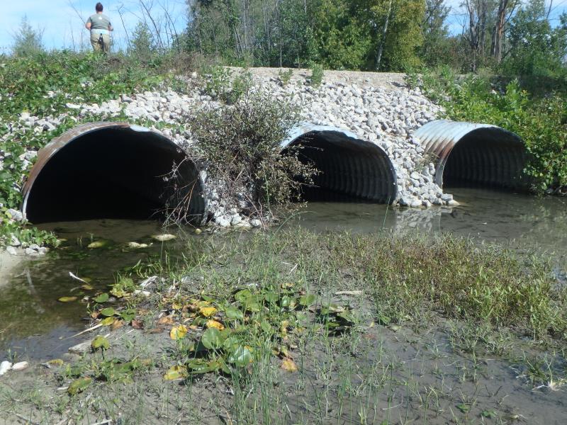
Inlet
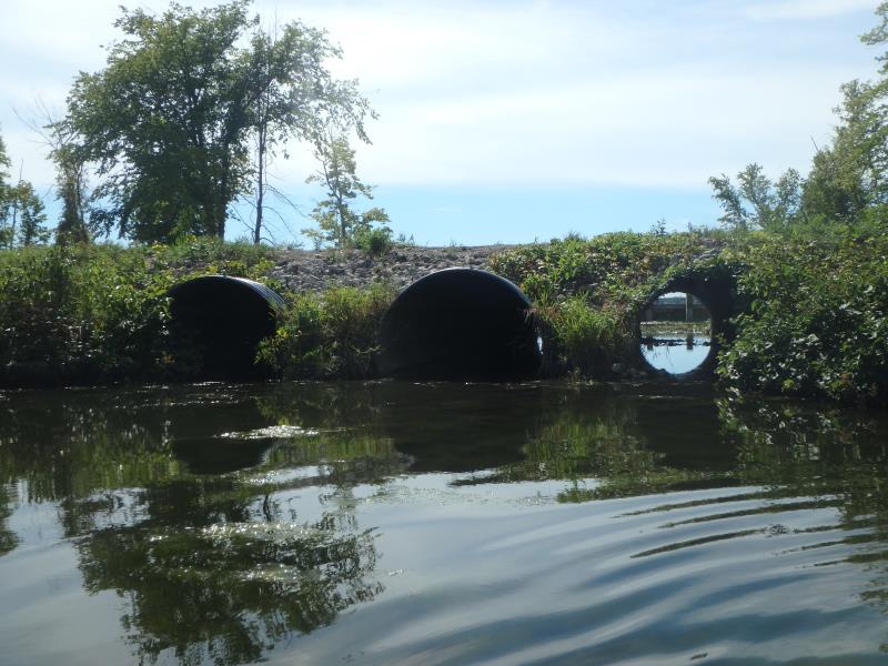
Outlet
Upstream Conditions
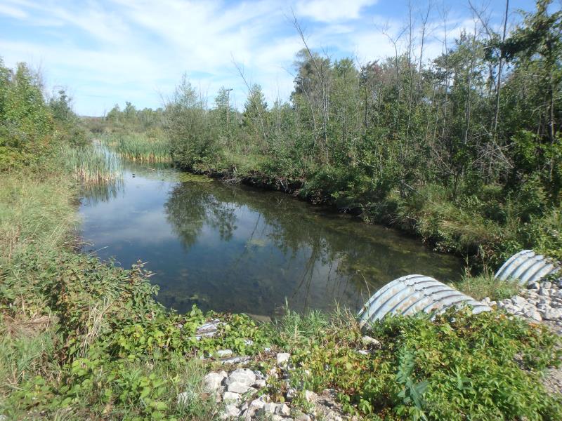
Downstream Conditions
Road Approach - Left
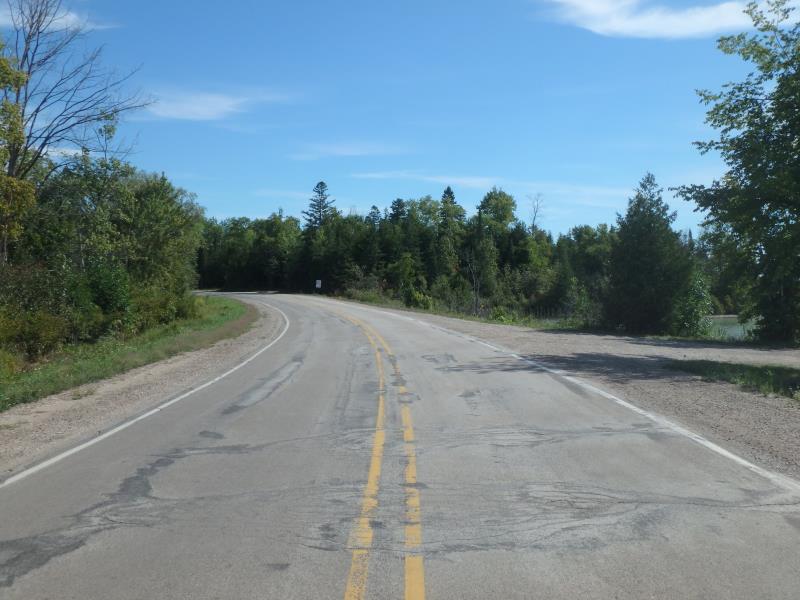
Road Approach - Right
Crossing Information
Type of Crossing: culvert(s)
Number of Structures: 3
Structure Shape: Pipe Arch
Inlet Type: Projecting
Outlet Type: At Stream Grade
Structure Material: Metal
Structure Substrate: Mixture
General Conditions: Fair
Multiple Culverts/Spans | ||||
Culvert/Span | Width | Length | Height | Material |
1 |
8 ft. |
60 ft. |
5 ft. |
Metal |
2 |
8 ft. |
60 ft. |
4.7 ft. |
Metal |
3 |
8 ft. |
60 ft. |
5 ft. |
Metal |
Structure Interior: corrugated
Structure is Rusted through
Dimensions of Structure: Length 60 ft.
, Width 8 ft.
, Height 4.7 ft.
Percentage Crushed:
Inlet: 1% to 25%
Outlet: 0%
In Pipe: 0%
Structure is NOT Perched
Structure Inlet
Water Depth: 0.6 ft.
Embedded Depth of Structure: 0.2 ft.
Water Velocity*: 0.1 ft./sec.
Structure Outlet
Water Depth: 0.4 ft.
Embedded Depth of Structure: 0.2 ft.
Water Velocity*: 0.1 ft./sec.
*Water Velocities were measured at the Surface
(with Float Test)
Additional Comments
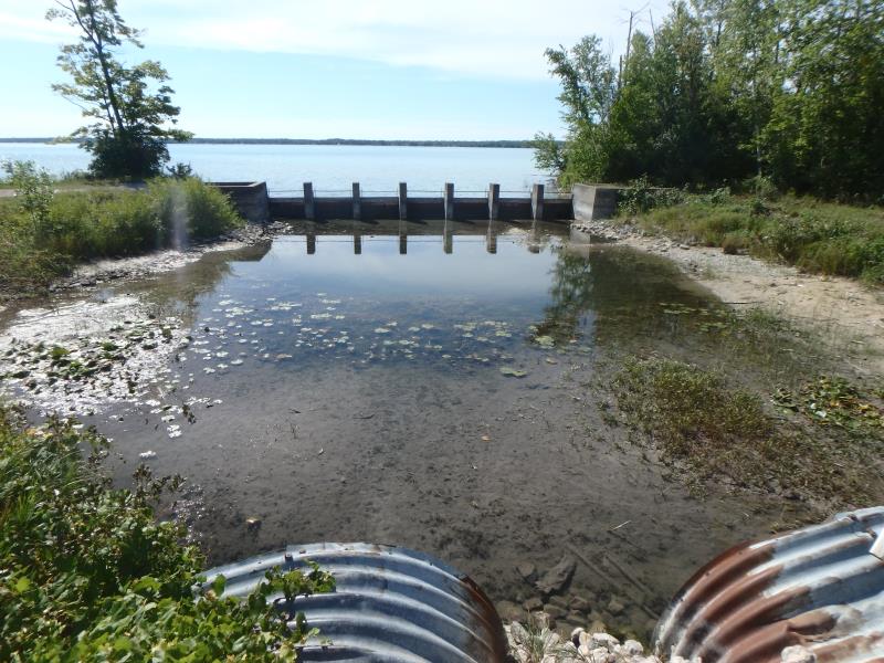
Small dam/spillway roughly 80 feet from inlet
Stream Information
Stream Flow: Less than 1/2 Bankfull
Upstream Pond: Length 78 ft.
, Width 64 ft.
, Depth 1.1 ft.
Riffle Information
Water Depth: 0.3 ft.
Bankfull Width: 42 ft.
Wetted Width: 30 ft.
Water Velocity: 0.1 ft./sec.
(Measured with Float Test)
Dominant Substrate: Organics
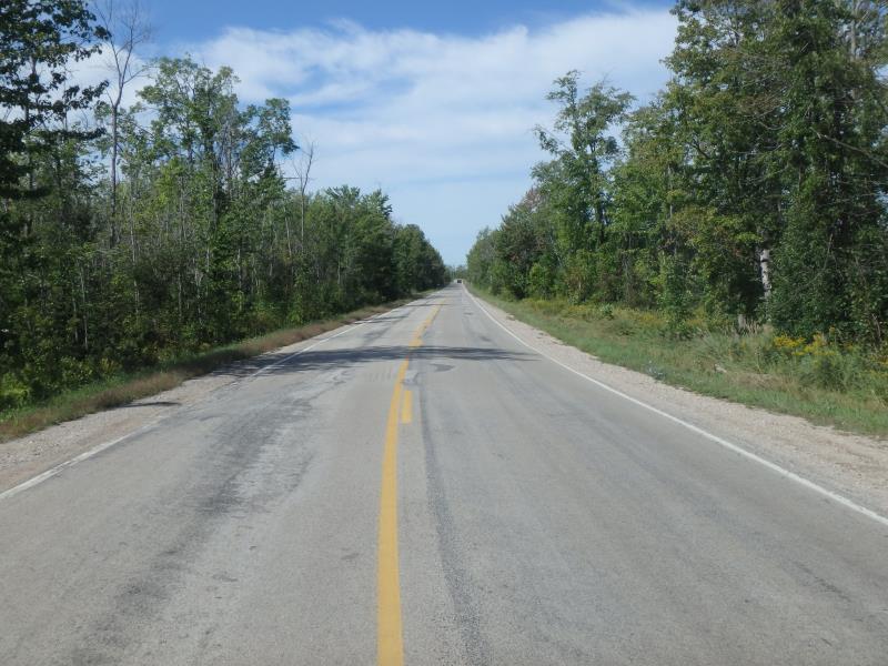
Road Information
Paved
County Road
Road Condition: Fair
Road Width at Culvert: 23 ft.
Location of Low Point: At Stream
Runoff Path: Ditch
Embankments
Upstream
Fill Depth: 2.5 ft.
Slope: More than 1:2
Downstream
Fill Depth: 2.5 ft.
Slope: More than 1:2
Approaches
Left Approach
Length: 1000 ft.
Slope: 1% to 5%
Vegetation: Partial
LS Factor: 0.8
Erosion: 0.6083 tons/year
Right Approach
Length: 1000 ft.
Slope: 1% to 5%
Vegetation: Partial
LS Factor: 0.8
Erosion: 0.6083 tons/year
Erosion Information
Total Erosion at Crossing: 1.2165 tons/year
Summary Information
Fish Passability 0.9
�