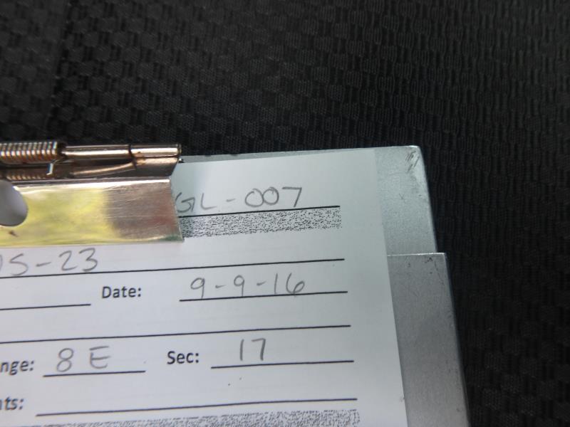
Road Stream Crossing Site CLHW_GL-007
Grand Lake Watershed, Warren Creek
US-23
Presque Isle Twp,
Presque Isle County
Information collected by:
Site Location
GPS Coordinates: 45.25402
, -83.47759
T33N
R8E
Sec 17
Owned by Private
Fish Passability 0.5
Structure is NOT Perched
Total Erosion: 2.4746 tons/year
Severity: Severe
Year Inventoried: 2016
Site ID
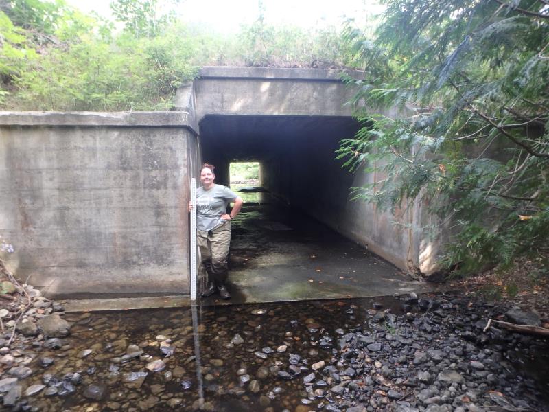
Inlet
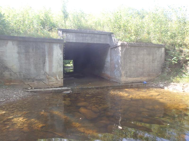
Outlet
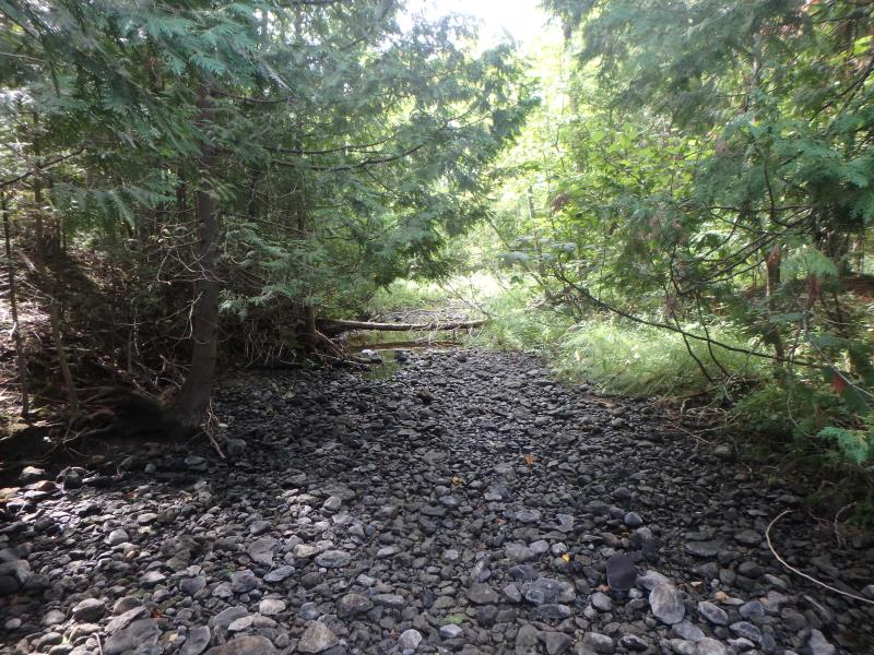
Upstream Conditions
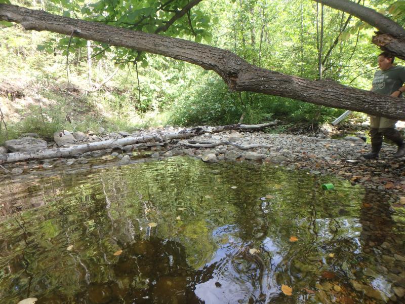
Downstream Conditions
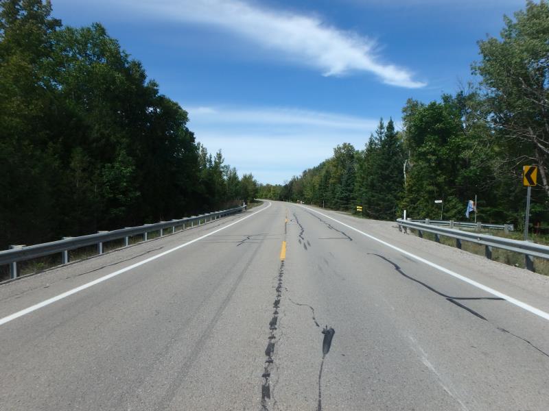
Road Approach - Left
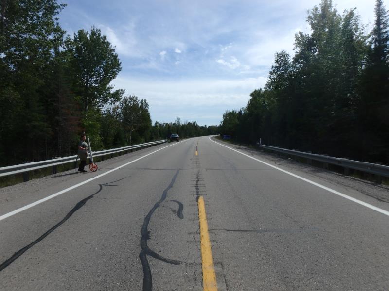
Road Approach - Right
Crossing Information
Type of Crossing: culvert(s)
Number of Structures: 1
Structure Shape: Square/Rectangle
Inlet Type: Headwall
Outlet Type: Freefall into Pool
Structure Material: Concrete
Structure Substrate: None
General Conditions: Fair
Structure Interior: smooth
Dimensions of Structure: Length 110 ft.
, Width 10 ft.
, Height 8 ft.
Structure is NOT Perched
Water Depth: 0 ft.
Embedded Depth of Structure: 0 ft.
Water Velocity*: 0 ft./sec.
Water Depth: 0 ft.
Embedded Depth of Structure: 0 ft.
Water Velocity*: 0 ft./sec.
Stream Information
Stream Flow: None
Scour Pool: Length 50 ft.
, Width 35 ft.
, Depth 2.4 ft.
Riffle Information
Water Depth: 0 ft.
Bankfull Width: 20 ft.
Wetted Width: 0 ft.
Water Velocity: 0 ft./sec.
(Measured with Float Test)
Dominant Substrate: Cobble
Road Information
Paved
Federal Road
Road Condition: Good
Road Width at Culvert: 30 ft.
Location of Low Point: At Stream
Runoff Path: Ditch
Embankments
Upstream
Fill Depth: 11.5 ft.
Slope: 1:1.5
Downstream
Fill Depth: 14 ft.
Slope: 1:1.5
Approaches
Left Approach
Length: 1000 ft.
Slope: 1% to 5%
Vegetation: Heavy
LS Factor: 0.57
Erosion: 0.5653 tons/year
Right Approach
Length: 1000 ft.
Slope: 1% to 5%
Vegetation: Heavy
LS Factor: 0.57
Erosion: 0.5653 tons/year
Erosion Information
Total Erosion at Crossing: 2.4746 tons/year
Extent of Erosion: Moderate
Erosion is occurring and corrective actions can be installed to address the problem.
Notes: Possibility that a small tree revetment may slow erosion on bank
Location of Erosion | Erosion Dimensions | Eroded Material | Material Eroded | Total Erosion | ||
facing downstream | Length | Width | Depth | Reaching Stream? | (tons/year) | |
Left Downstream Streambank |
20 ft. |
4 ft. |
10 ft. |
yes |
Sandy Loam |
1.344 |
Summary Information
Fish Passability 0.5
A future visit to this site is recommended. To survey again
�