Road Stream Crossing Site CLHW_LBR-001
Little Black River Watershed, Unnamed Branch of Little Black River
Rose Rd
Beaugrand Twp,
Cheboygan County
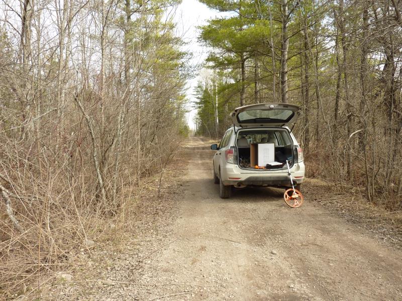
Information collected by:
Site Location
GPS Coordinates: 45.65434
, -84.54955
T38N
R2W
Sec 27
Owned by Private
Fish Passability 0.9
Structure is NOT Perched
Total Erosion: 3.2039 tons/year
Severity: Severe
Year Inventoried: 2016
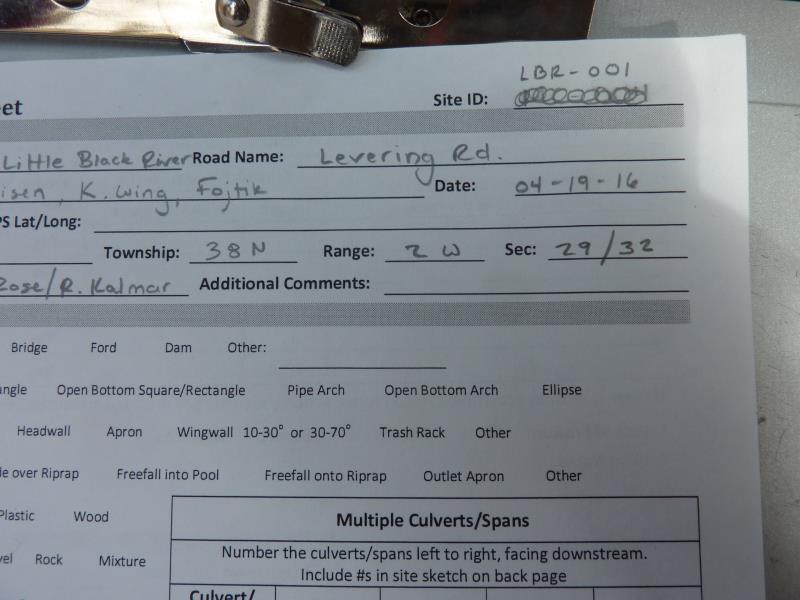
Site ID
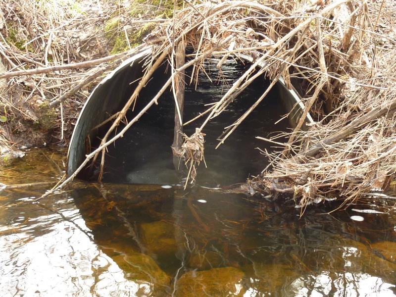
Inlet
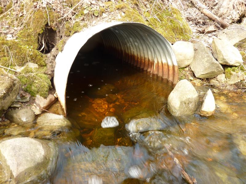
Outlet
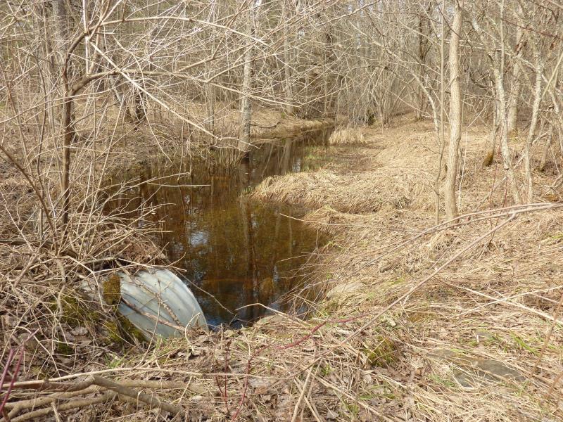
Upstream Conditions
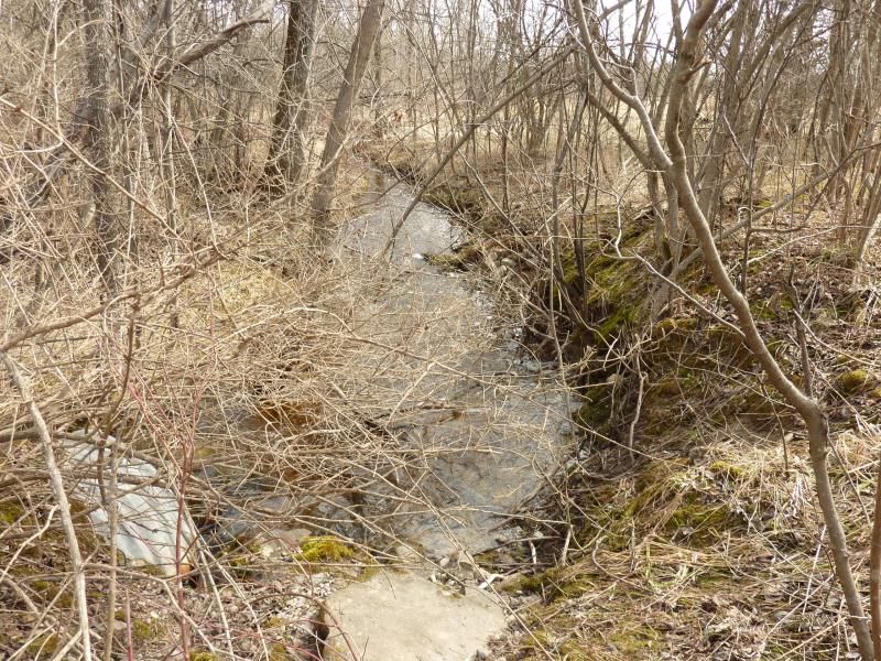
Downstream Conditions
Road Approach - Left
Road Approach - Right
Crossing Information
Type of Crossing: culvert(s)
Number of Structures: 2
Structure Shape: Round
Inlet Type: Projecting
Outlet Type: At Stream Grade
Structure Material: Metal
Structure Substrate: Mixture
General Conditions: Fair
Multiple Culverts/Spans | ||||
Culvert/Span | Width | Length | Height | Material |
1 |
1.7 ft. |
38 ft. |
1.1 ft. |
Metal |
2 |
2 ft. |
38 ft. |
2 ft. |
Metal |
Structure Interior: corrugated
Dimensions of Structure: Length 38 ft.
, Width 2 ft.
, Height 2 ft.
Structure is NOT Perched
Structure Inlet
Water Depth: 0.7 ft.
Embedded Depth of Structure: 0.1 ft.
Water Velocity*: 0.1 ft./sec.
Structure Outlet
Water Depth: 0.6 ft.
Embedded Depth of Structure: 0.2 ft.
Water Velocity*: 0 ft./sec.
*Water Velocities were measured at the Surface
(with Float Test)
Additional Comments
Beaver Activity; 1ft high dam located upstream
Stream Information
Stream Flow: Less than 1/2 Bankfull
Scour Pool: Length 28 ft.
, Width 11 ft.
, Depth 1.3 ft.
Upstream Pond: Length 35 ft.
, Width 17 ft.
, Depth 1.5 ft.
Riffle Information
Water Depth: 0.3 ft.
Bankfull Width: 16 ft.
Wetted Width: 7 ft.
Water Velocity: 0.2 ft./sec.
(Measured with Float Test)
Dominant Substrate: Sand
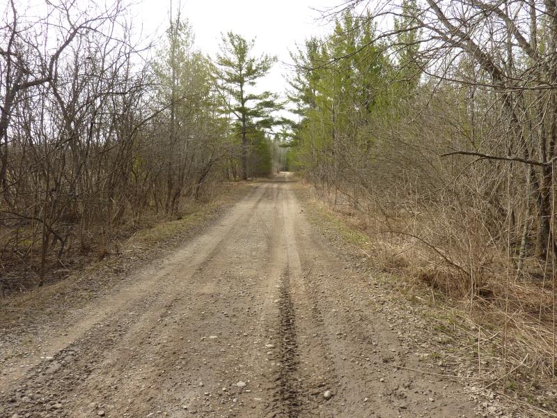
Road Information
Gravel
County Road
Road Condition: Fair
Road Width at Culvert: 24 ft.
Location of Low Point: Other
Runoff Path: Ditch
Embankments
Upstream
Fill Depth: 2.6 ft.
Slope: 1:2
Downstream
Fill Depth: 2.4 ft.
Slope: 1:2
Approaches
Left Approach
Length: 870 ft.
Slope: 1% to 5%
Vegetation: Heavy
LS Factor: 0.557
Erosion: 3.2039 tons/year
Right Approach
Length: 0 ft.
Slope: 1% to 5%
Vegetation: Heavy
LS Factor: 0.26
Erosion: 0 tons/year
Erosion Information
Total Erosion at Crossing: 3.2039 tons/year
Summary Information
Fish Passability 0.9
�