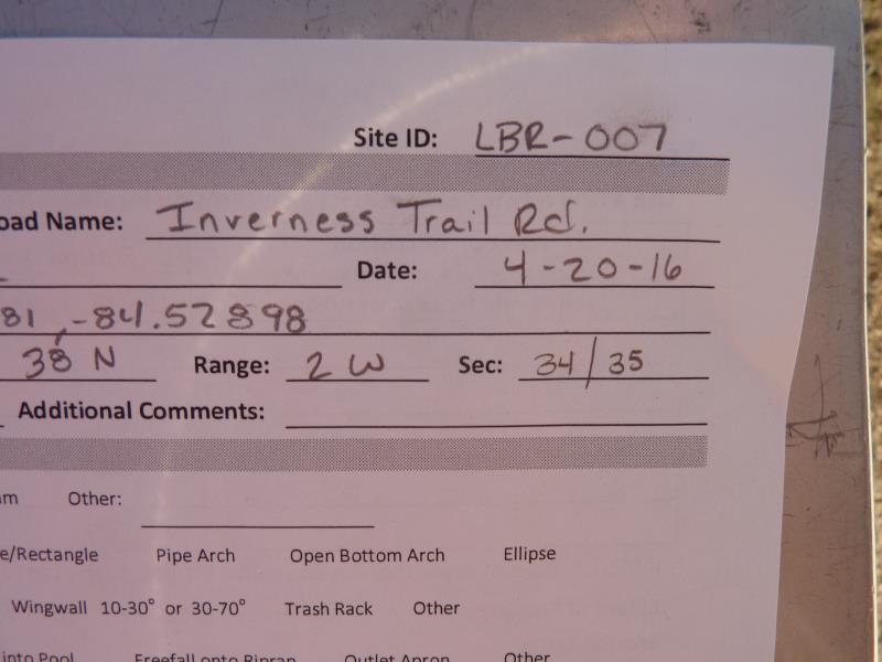
Road Stream Crossing Site CLHW_LBR-007
Little Black River Watershed, Unnamed Branch of Little Black River
Inverness Train Rd
Beaugrand Twp,
Cheboygan County
Information collected by:
Site Location
GPS Coordinates: 45.63981
, -84.52898
T38N
R2W
Sec 35
Owned by Private
Structure is NOT Perched
Total Erosion: 0 tons/year
Severity: Minor
Year Inventoried: 2016
Site ID
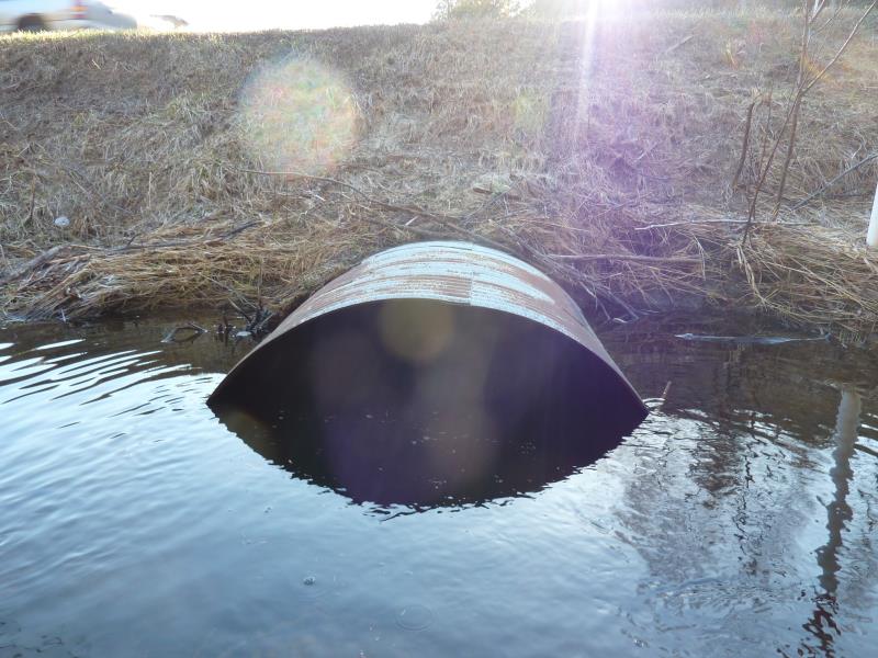
Inlet
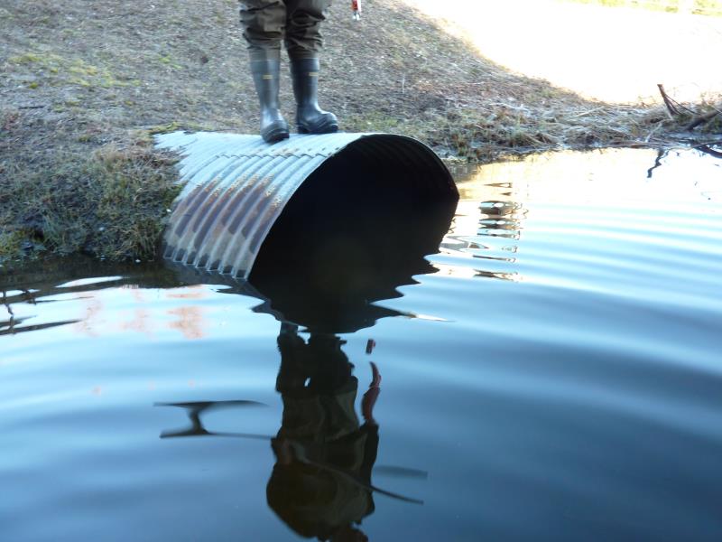
Outlet
Upstream Conditions
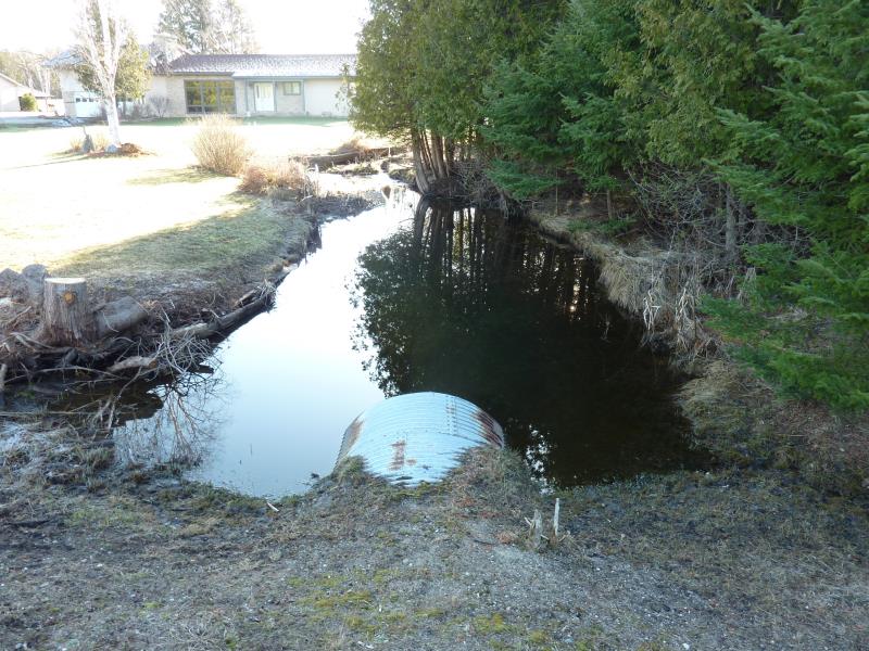
Downstream Conditions
Road Approach - Left
Road Approach - Right
Crossing Information
Type of Crossing: culvert(s)
Number of Structures: 1
Structure Shape: Ellipse
Inlet Type: Projecting
Outlet Type: At Stream Grade
Structure Material: Metal
Structure Substrate: None
General Conditions: Fair
Structure Interior: corrugated
Dimensions of Structure: Length 70 ft.
, Width 5.3 ft.
, Height 4.5 ft.
Structure is NOT Perched
Structure Inlet
Water Depth: 3.5 ft.
Embedded Depth of Structure: 0 ft.
Water Velocity*: 0.4 ft./sec.
Structure Outlet
Water Depth: 2 ft.
Embedded Depth of Structure: 0 ft.
Water Velocity*: 0.1 ft./sec.
*Water Velocities were measured at the Surface
(with Float Test)
Additional Comments
Riffle unavailable due to tresspassing issues and small pond just beyound outlet;
Stream Information
Stream Flow: Less than 1/2 Bankfull
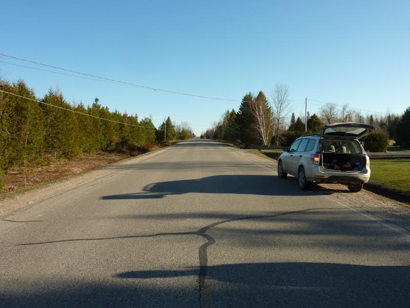
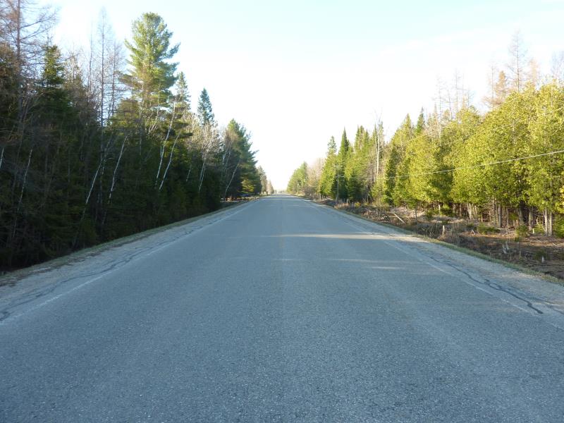
Road Information
Paved
County Road
Road Condition: Fair
Road Width at Culvert: 26 ft.
Location of Low Point: At Stream
Runoff Path: Ditch
Embankments
Upstream
Fill Depth: 5.7 ft.
Slope: 1:2
Downstream
Fill Depth: 5.2 ft.
Slope: 1:2
Approaches
Left Approach
Length: 0 ft.
Slope: Less Than 1%
Vegetation: Partial
LS Factor: 0.05
Erosion: 0 tons/year
Right Approach
Length: 0 ft.
Slope: Less Than 1%
Vegetation: Partial
LS Factor: 0.05
Erosion: 0 tons/year
Erosion Information
Total Erosion at Crossing: 0 tons/year
Summary Information
�