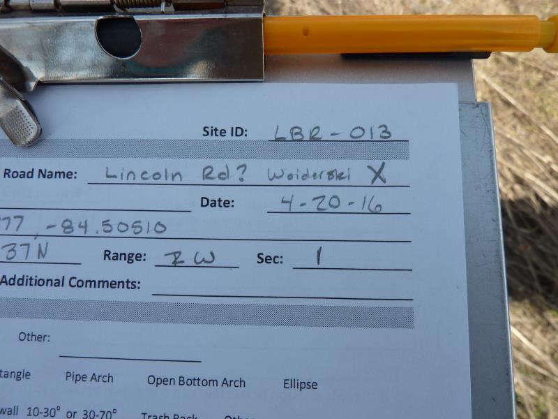
Road Stream Crossing Site CLHW_LBR-013
Little Black River Watershed, Unnamed Branch of Little Black River
Woiderski Rd
Inverness Twp,
Cheboygan County
Information collected by:
Site Location
GPS Coordinates: 45.63377
, -84.5051
T37N
R2W
Sec 1
Owned by Private
Fish Passability 0.5
Structure is NOT Perched
Total Erosion: 0 tons/year
Severity: Moderate
Year Inventoried: 2016
Site ID
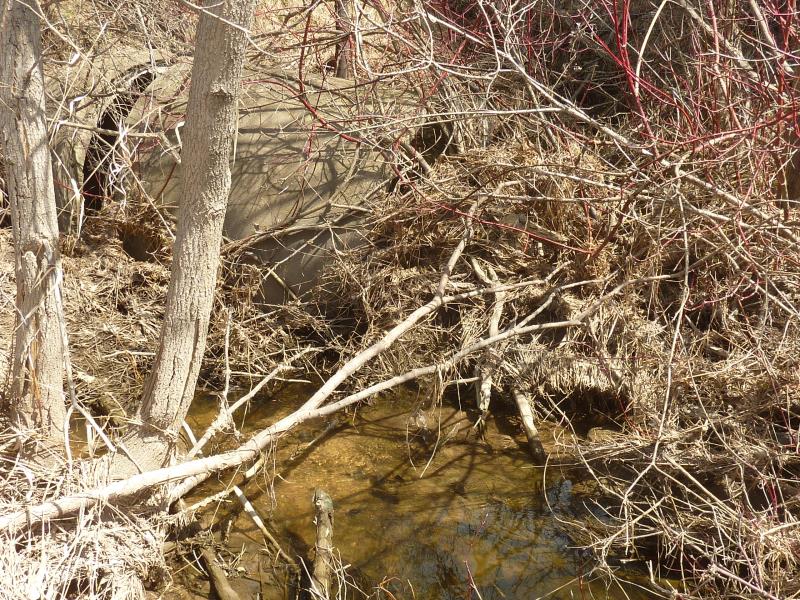
Inlet
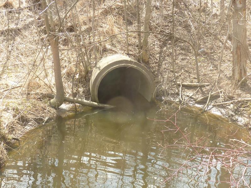
Outlet
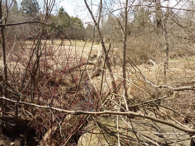
Upstream Conditions
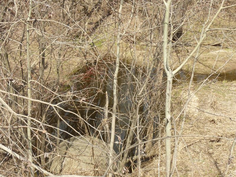
Downstream Conditions
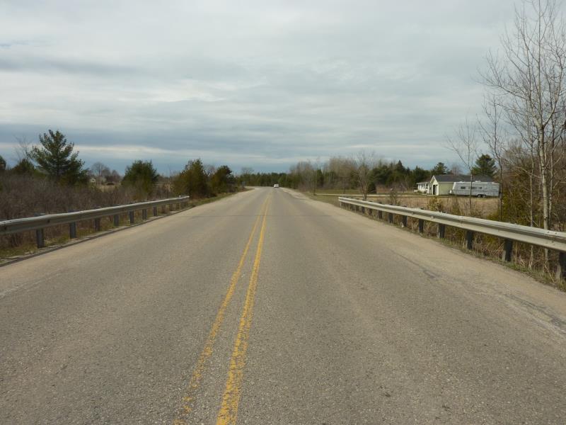
Road Approach - Left
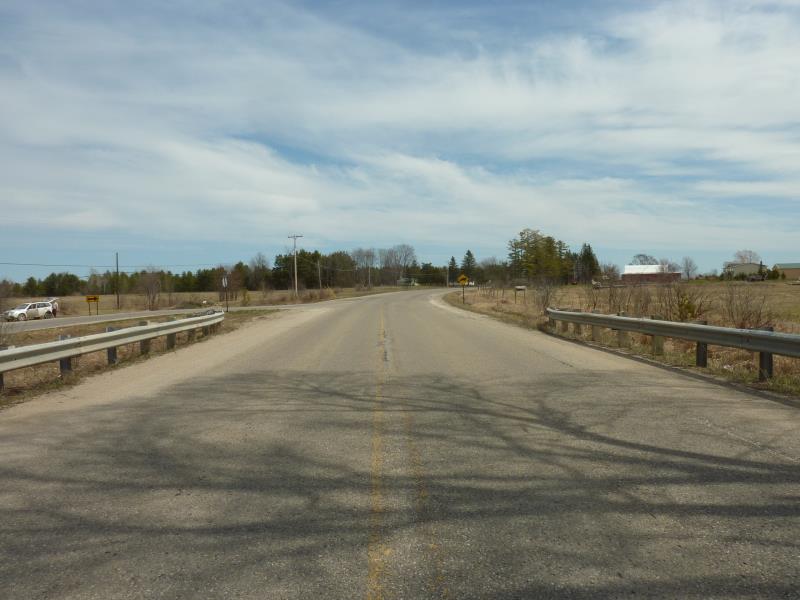
Road Approach - Right
Crossing Information
Type of Crossing: culvert(s)
Number of Structures: 1
Structure Shape: Round
Inlet Type: Projecting
Outlet Type: At Stream Grade
Structure Material: Concrete
Structure Substrate: None
General Conditions: Poor
Structure Interior: smooth
Dimensions of Structure: Length 80 ft.
, Width 4.1 ft.
, Height 4.1 ft.
Percentage Plugged:
Inlet: 76% to 100%
Outlet: 0%
In Pipe: 0%
Percentage Crushed:
Inlet: 76% to 100%
Outlet: 0%
In Pipe: 0%
Structure is NOT Perched
Structure Inlet
Water Depth: 0.3 ft.
Embedded Depth of Structure: 0 ft.
Water Velocity*: 0.1 ft./sec.
Structure Outlet
Water Depth: 1.3 ft.
Embedded Depth of Structure: 0 ft.
Water Velocity*: 0.1 ft./sec.
*Water Velocities were measured at the Surface
(with Float Test)
Additional Comments
projecting culvert at inlet is completely detached and broken off the rest of culvert
Stream Information
Stream Flow: Less than 1/2 Bankfull
Scour Pool: Length 21 ft.
, Width 12 ft.
, Depth 2.3 ft.
Riffle Information
Water Depth: 2.1 ft.
Bankfull Width: 1.1 ft.
Wetted Width: 7 ft.
Water Velocity: 1.6 ft./sec.
(Measured with Float Test)
Dominant Substrate: Organics
Road Information
Paved
County Road
Road Condition: Fair
Road Width at Culvert: 33 ft.
Location of Low Point: Other
Runoff Path: Ditch
Embankments
Upstream
Fill Depth: 15 ft.
Slope: 1:1.5
Downstream
Fill Depth: 15 ft.
Slope: 1:1.5
Approaches
Left Approach
Length: 0 ft.
Slope: Less Than 1%
Vegetation: Heavy
LS Factor: 0.05
Erosion: 0 tons/year
Right Approach
Length: 0 ft.
Slope: Less Than 1%
Vegetation: Heavy
LS Factor: 0.05
Erosion: 0 tons/year
Erosion Information
Total Erosion at Crossing: 0 tons/year
Summary Information
Fish Passability 0.5
Fish Passage is an area of concern for this site.
Culvert is broken off at the inlet as is disrupting flow
A future visit to this site is recommended. May want to revist to determine severity of broken culvert
These non-native species were observerd at this site: Glossy Buckthorn
�