Road Stream Crossing Site CLHW_LBR-023
Little Black River Watershed, Little Black River
Inverness Trail Rd
Beaugrand Twp,
Cheboygan County
Information collected by:
Site Location
GPS Coordinates: 45.66145
, -84.52871
T38N
R2W
Sec 27
Owned by Private
Fish Passability 0.5
Structure is NOT Perched
Total Erosion: 0.272 tons/year
Severity: Moderate
Year Inventoried: 2016
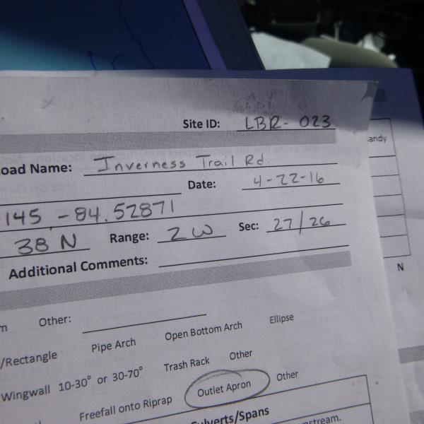
Site ID
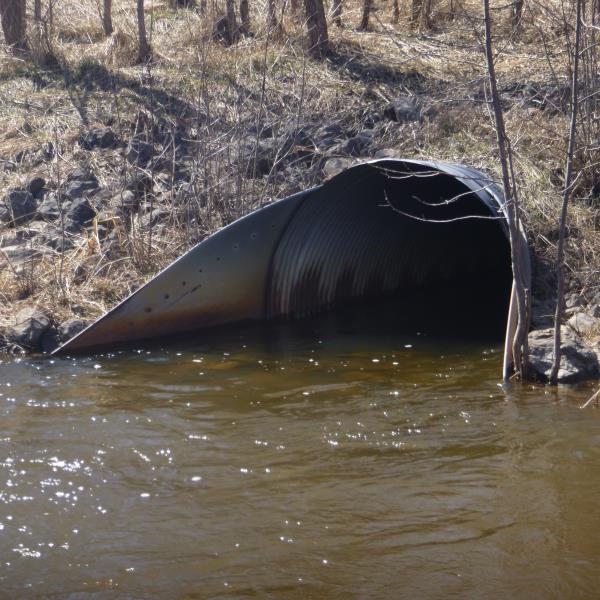
Inlet
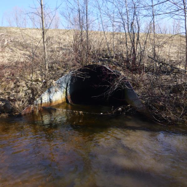
Outlet
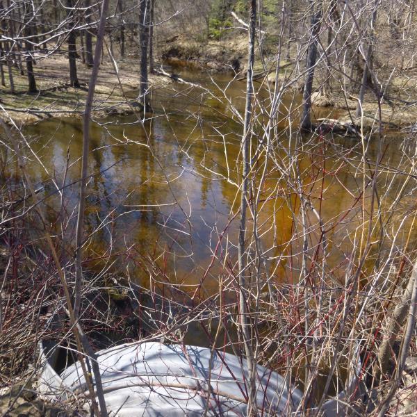
Upstream Conditions
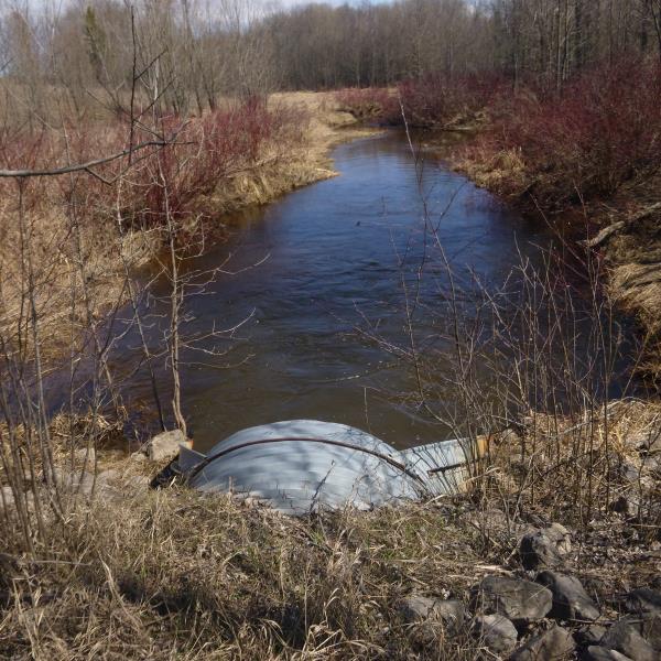
Downstream Conditions
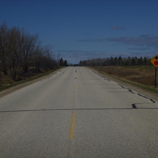
Road Approach - Left
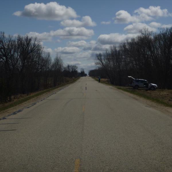
Road Approach - Right
Crossing Information
Type of Crossing: culvert(s)
Number of Structures: 1
Structure Shape: Round
Inlet Type: Apron
Outlet Type: Outlet Apron
Structure Material: Metal
Structure Substrate: None
General Conditions: Fair
Structure Interior: corrugated
Dimensions of Structure: Length 134 ft.
, Width 6 ft.
, Height 6 ft.
Percentage Plugged:
Inlet: 1% to 25%
Outlet: 0%
In Pipe: 0%
Percentage Crushed:
Inlet: 0%
Outlet: 0%
In Pipe: 1% to 25%
Structure is NOT Perched
Structure Inlet
Water Depth: 1.3 ft.
Embedded Depth of Structure: 0 ft.
Water Velocity*: 2.4 ft./sec.
Structure Outlet
Water Depth: 2.6 ft.
Embedded Depth of Structure: 0 ft.
Water Velocity*: 2.4 ft./sec.
*Water Velocities were measured at the Surface
(with Float Test)
Stream Information
Stream Flow: Less than Bankfull
Scour Pool: Length 48 ft.
, Width 26 ft.
, Depth 5 ft.
Upstream Pond: Length 65 ft.
, Width 46 ft.
, Depth 1.2 ft.
Riffle Information
Water Depth: 3.2 ft.
Bankfull Width: 16 ft.
Wetted Width: 12 ft.
Water Velocity: 1.6 ft./sec.
(Measured with Float Test)
Dominant Substrate: Sand
Road Information
Paved
County Road
Road Condition: Poor
Road Width at Culvert: 24 ft.
Location of Low Point: At Stream
Runoff Path: Ditch
Embankments
Upstream
Fill Depth: 12 ft.
Slope: More than 1:2
Downstream
Fill Depth: 14 ft.
Slope: More than 1:2
Approaches
Left Approach
Length: 650 ft.
Slope: 1% to 5%
Vegetation: Heavy
LS Factor: 0.528
Erosion: 0.272 tons/year
Right Approach
Length: 0 ft.
Slope: Less Than 1%
Vegetation: Heavy
LS Factor: 0.05
Erosion: 0 tons/year
Erosion Information
Total Erosion at Crossing: 0.272 tons/year
Summary Information
Fish Passability 0.5
A future visit to this site is recommended. Revisit site to determine if this is a priority
�