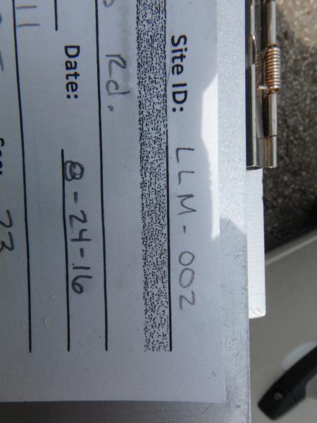
Road Stream Crossing Site CLHW_LLM-002
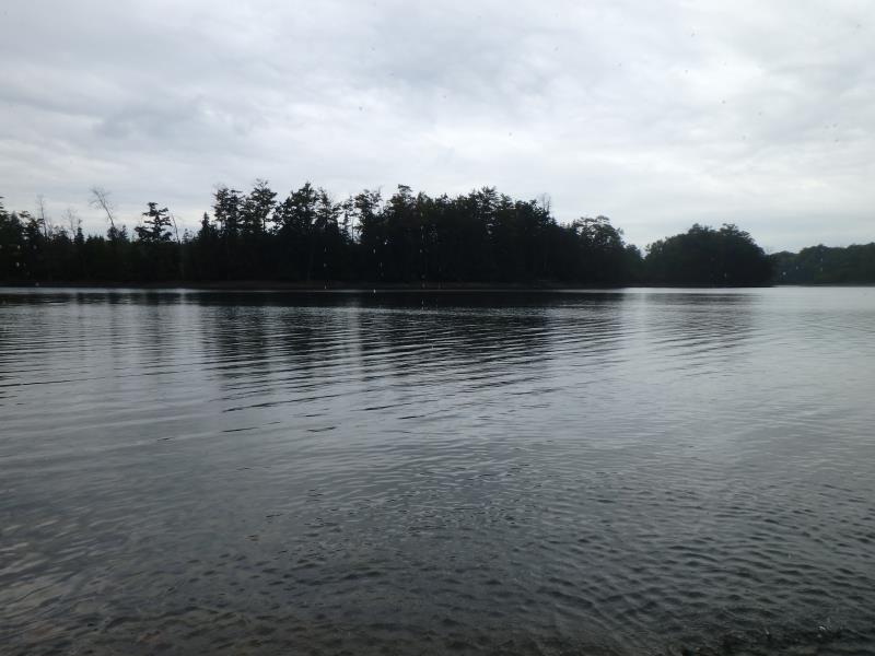
Long Lake-Monaghan Creek Watershed, Long Lake Creek (Devil's Lake)
Weiss Rd
Alpena,
Alpena County
Information collected by:
Site Location
GPS Coordinates: 45.15531
, -83.41811
T32N
R8E
Sec 23
Owned by Private
Structure is NOT Perched
Total Erosion: 1.7983 tons/year
Severity: Moderate
Year Inventoried: 2016
Site ID
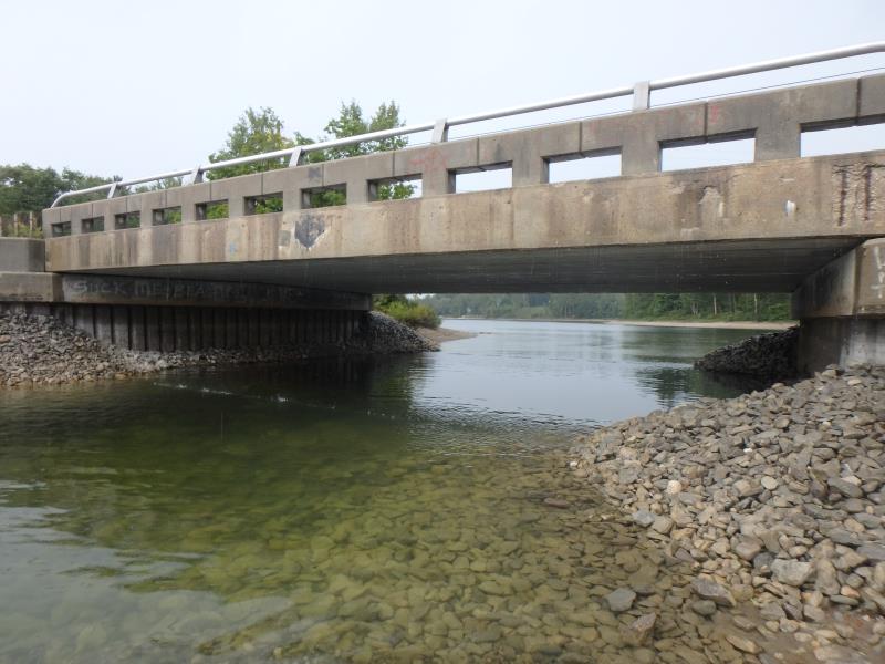
Inlet
Outlet
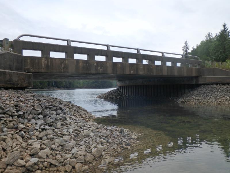
Upstream Conditions
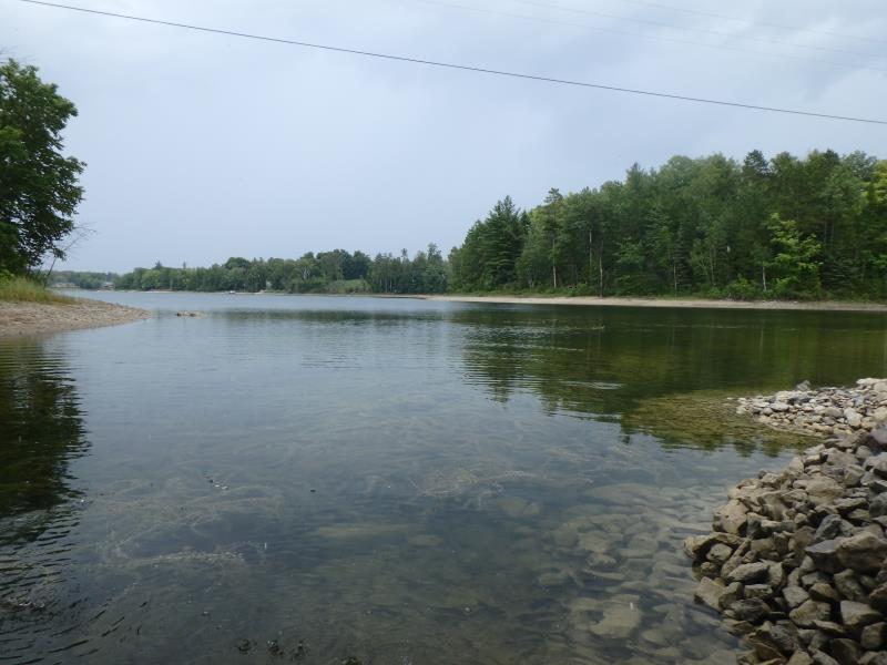
Downstream Conditions
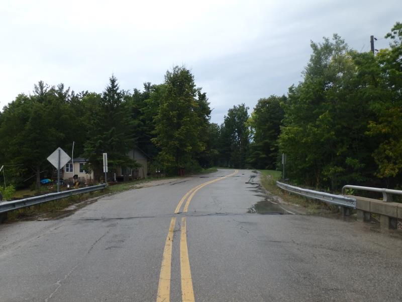
Road Approach - Left
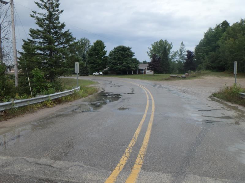
Road Approach - Right
Crossing Information
Type of Crossing: Bridge
Structure Shape: Open Bottom Square/Rectangle
Inlet Type: Wingwall 10-30 Degree
Outlet Type: At Stream Grade
Structure Material: Concrete
Structure Substrate: Rock
General Conditions: Good
Structure Interior: smooth
Structure is Rusted through
Dimensions of Structure: Length 36 ft.
, Width 50 ft.
, Height 10 ft.
Structure is NOT Perched
Structure Inlet
Water Depth: 3.3 ft.
Embedded Depth of Structure: 0 ft.
Water Velocity*: 0.1 ft./sec.
Structure Outlet
Water Depth: 3.2 ft.
Embedded Depth of Structure: 0 ft.
Water Velocity*: 0.1 ft./sec.
*Water Velocities were measured at the Surface
(with Float Test)
Additional Comments
Riffle unavailable here because this crossing is essentially a lake (Devil's Lake)
Stream Information
Stream Flow: Less than 1/2 Bankfull
Road Information
Paved
County Road
Road Condition: Fair
Road Width at Culvert: 34 ft.
Location of Low Point: At Stream
Runoff Path: Ditch
Fill Depth: 0 ft.
Slope: Vertical
Fill Depth: 0 ft.
Slope: Vertical
Approaches
Left Approach
Length: 1000 ft.
Slope: 1% to 5%
Vegetation: Partial
LS Factor: 0.8
Erosion: 0.8992 tons/year
Right Approach
Length: 1000 ft.
Slope: 1% to 5%
Vegetation: Partial
LS Factor: 0.8
Erosion: 0.8992 tons/year
Erosion Information
Total Erosion at Crossing: 1.7983 tons/year
Summary Information
These non-native species were observerd at this site: Leafy Spurge
�