Road Stream Crossing Site CLHW_LLM-004
Long Lake-Monaghan Creek Watershed, Clinton Creek
Shubert Rd
Krakow Twp,
Presque Isle County
Information collected by:
Site Location
GPS Coordinates: 45.22951
, -83.55724
T33N
R7E
Sec 26
Owned by Private
Perch Height: 1 ft.
Total Erosion: 0.8668 tons/year
Severity: Minor
Year Inventoried: 2016
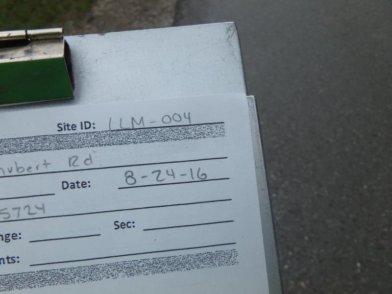
Site ID
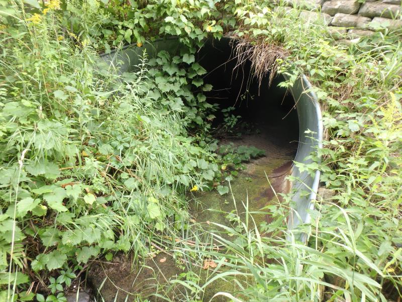
Inlet
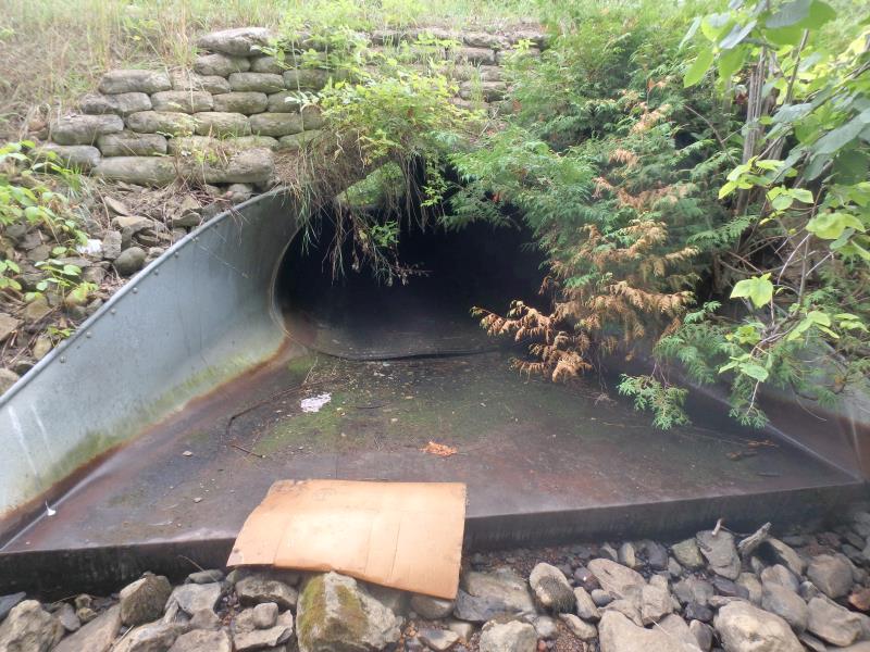
Outlet
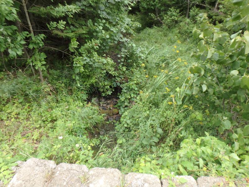
Upstream Conditions
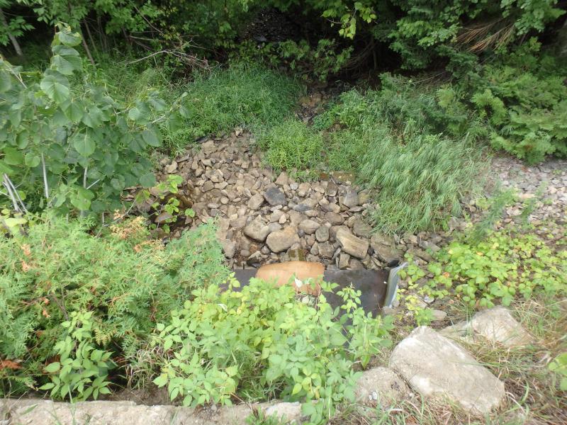
Downstream Conditions
Road Approach - Left
Road Approach - Right
Crossing Information
Type of Crossing: culvert(s)
Number of Structures: 1
Structure Shape: Pipe Arch
Inlet Type: Mitered
Outlet Type: At Stream Grade
Structure Material: Metal
Structure Substrate: None
General Conditions: Poor
Structure Interior: corrugated
Structure is Rusted through
Dimensions of Structure: Length 38 ft.
, Width 7 ft.
, Height 4.6 ft.
Percentage Plugged:
Inlet: 1% to 25%
Outlet: 0%
In Pipe: 0%
Perch Height: 1 ft.
Water Depth: 0 ft.
Embedded Depth of Structure: 0 ft.
Water Velocity*: 0 ft./sec.
Water Depth: 0 ft.
Embedded Depth of Structure: 0 ft.
Water Velocity*: 0 ft./sec.
(with Float Test)
Additional Comments
Unable to access riffle here
Stream Information
Stream Flow: None
Riffle Information
Water Depth: 0.2 ft.
Bankfull Width: 20 ft.
Wetted Width: 12 ft.
Water Velocity: 0.1 ft./sec.
(Measured with Float Test)
Dominant Substrate: Gravel
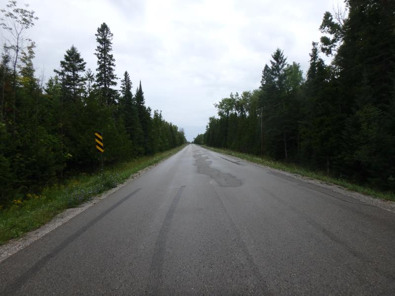
Road Information
Paved
County Road
Road Condition: Good
Road Width at Culvert: 23 ft.
Location of Low Point: At Stream
Runoff Path: Ditch
Embankments
Upstream
Fill Depth: 3 ft.
Slope: Vertical
Downstream
Fill Depth: 3 ft.
Slope: Vertical
Approaches
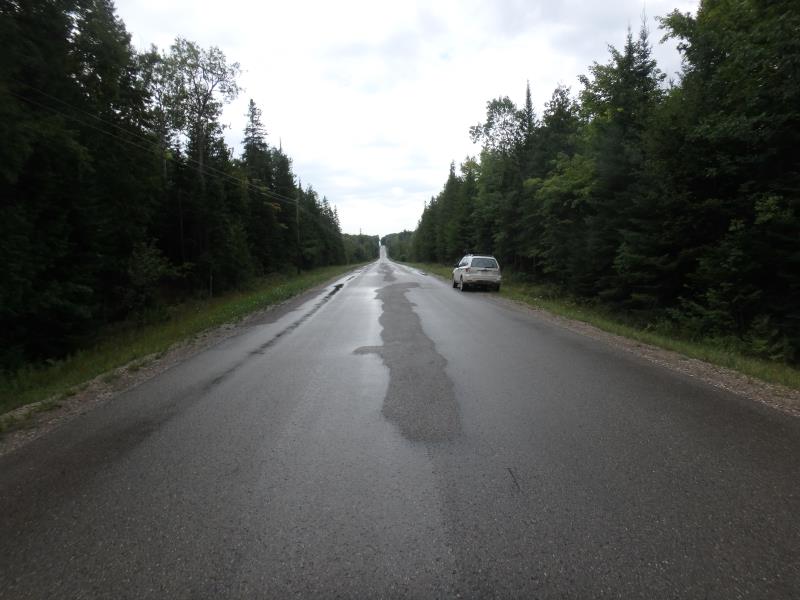
Left Approach
Length: 1000 ft.
Slope: 1% to 5%
Vegetation: Heavy
LS Factor: 0.57
Erosion: 0.4334 tons/year
Right Approach
Length: 1000 ft.
Slope: 1% to 5%
Vegetation: Heavy
LS Factor: 0.57
Erosion: 0.4334 tons/year
Erosion Information
Total Erosion at Crossing: 0.8668 tons/year
Extent of Erosion: Moderate
Summary Information
Erosion is an area of concern for this site.
No, this is an intermittet stream
�