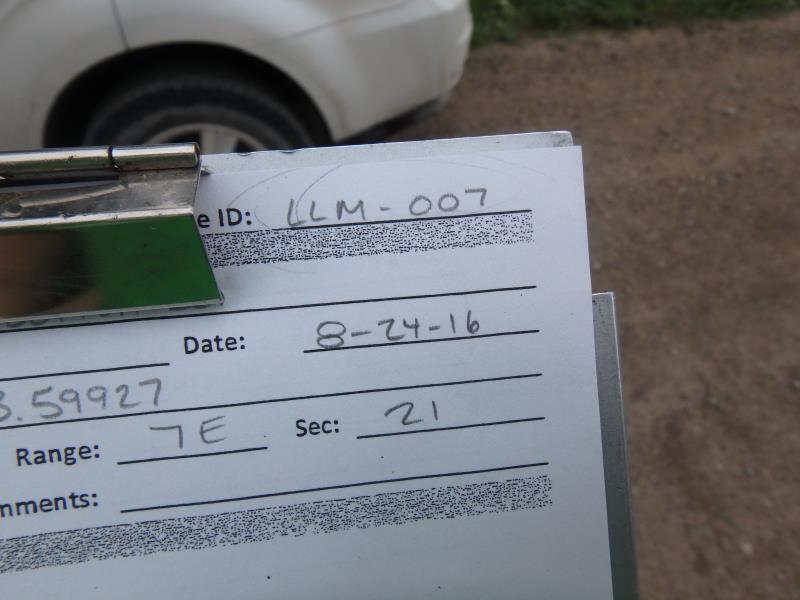
Road Stream Crossing Site CLHW_LLM-007
Long Lake-Monaghan Creek Watershed, Clinton Creek
Bolton Rd
Krakow Twp,
Presque Isle County
Information collected by:
Site Location
GPS Coordinates: 45.24057
, -83.59927
T33N
R7E
Sec 21
Owned by Private
Structure is NOT Perched
Total Erosion: 0.6612 tons/year
Severity: Minor
Year Inventoried: 2016
Site ID
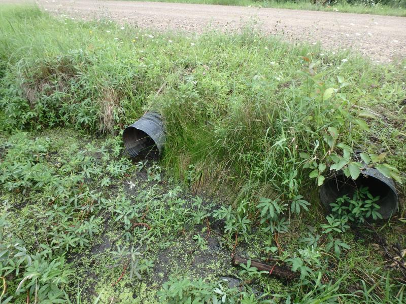
Inlet

Outlet
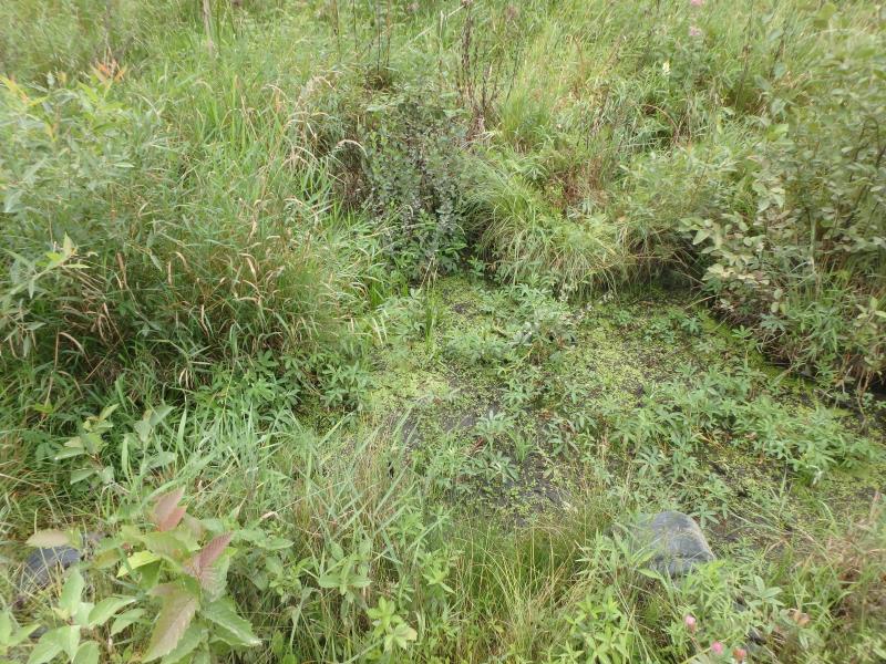
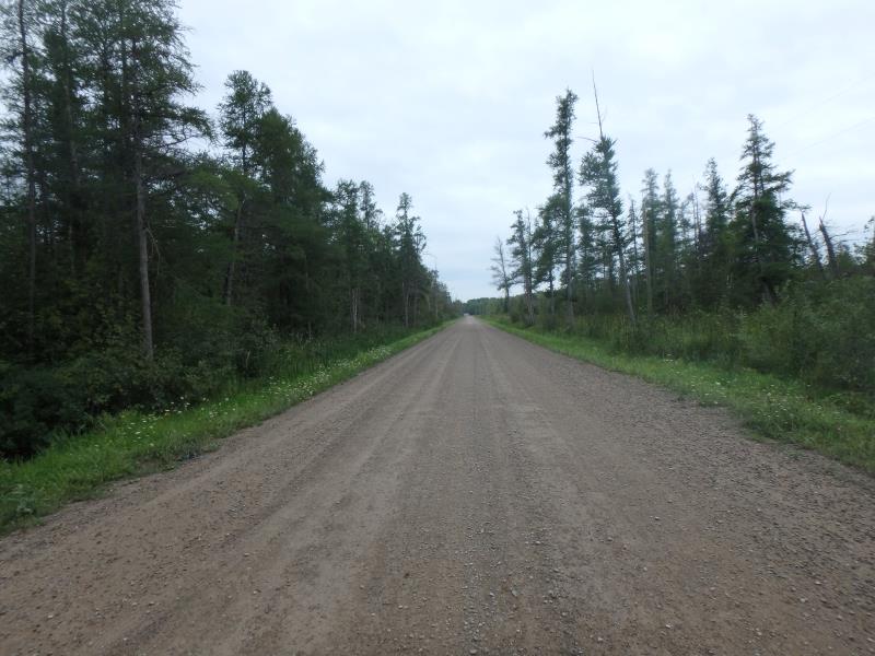
Upstream Conditions
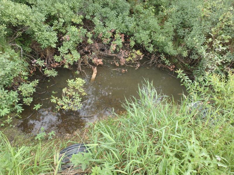
Downstream Conditions
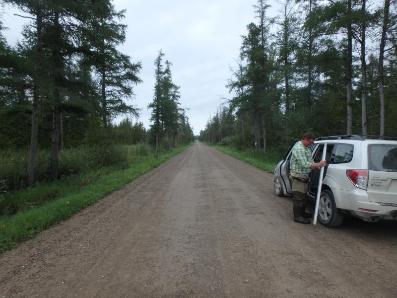
Road Approach - Left
Road Approach - Right
Crossing Information
Type of Crossing: culvert(s)
Number of Structures: 2
Structure Shape: Round
Inlet Type: Projecting
Outlet Type: At Stream Grade
Structure Material: Plastic
Structure Substrate: None
General Conditions: Fair
Multiple Culverts/Spans | ||||
Culvert/Span | Width | Length | Height | Material |
1 |
1.4 ft. |
40 ft. |
1.4 ft. |
Plastic |
2 |
1.4 ft. |
40 ft. |
1.4 ft. |
Plastic |
Structure Interior: corrugated
Dimensions of Structure: Length 40 ft.
, Width 1.4 ft.
, Height 1.4 ft.
Structure is NOT Perched
Water Depth: 0 ft.
Embedded Depth of Structure: 0 ft.
Water Velocity*: 0 ft./sec.
Water Depth: 0 ft.
Embedded Depth of Structure: 0 ft.
Water Velocity*: 0 ft./sec.
Stream Information
Stream Flow: None
Road Information
Gravel
County Road
Road Condition: Good
Road Width at Culvert: 24 ft.
Location of Low Point: At Stream
Runoff Path: Ditch
Embankments
Upstream
Fill Depth: 1.5 ft.
Slope: More than 1:2
Downstream
Fill Depth: 1.2 ft.
Slope: More than 1:2
Approaches
Left Approach
Length: 1000 ft.
Slope: Less Than 1%
Vegetation: Heavy
LS Factor: 0.05
Erosion: 0.3306 tons/year
Right Approach
Length: 1000 ft.
Slope: Less Than 1%
Vegetation: Heavy
LS Factor: 0.05
Erosion: 0.3306 tons/year
Erosion Information
Total Erosion at Crossing: 0.6612 tons/year
Summary Information
�