Road Stream Crossing Site CLHW_MC-001
Mill Creek Watershed, Unnamed
Potter Road
Hebron Twp,
Cheboygan County
Information collected by:
Site Location
GPS Coordinates: 45.72141
, -84.69911
T38N
R3W
Sec 4
Owned by State
Fish Passability 0.9
Structure is NOT Perched
Total Erosion: 0 tons/year
Severity: Minor
Year Inventoried: 2016
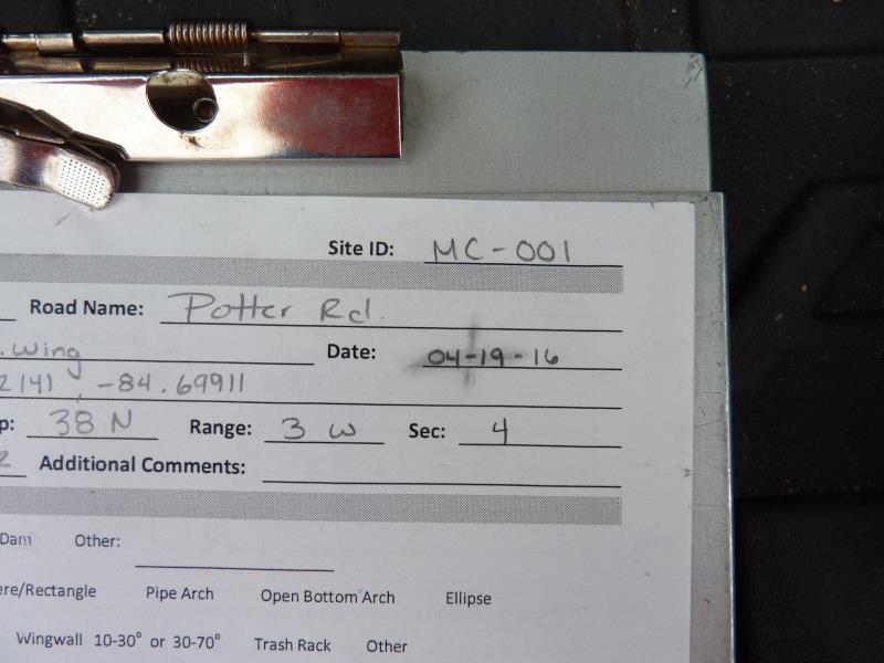
Site ID
Inlet
Outlet
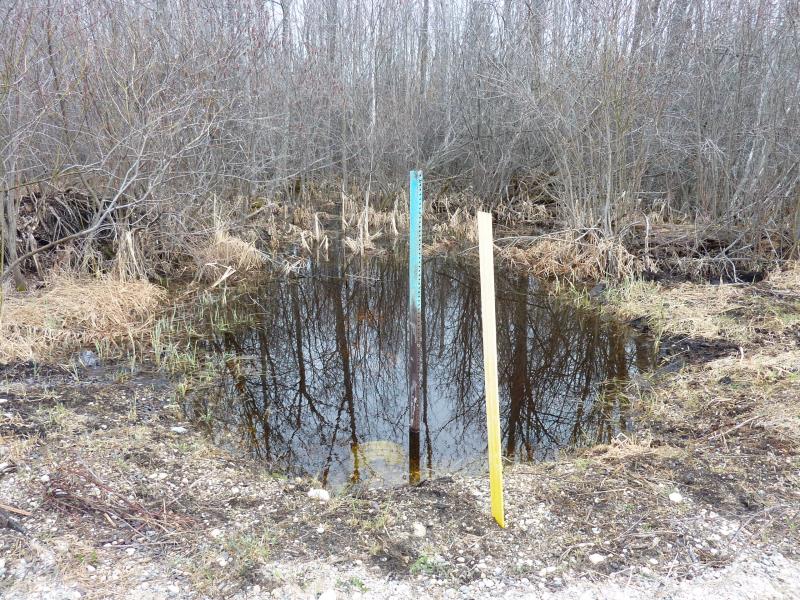
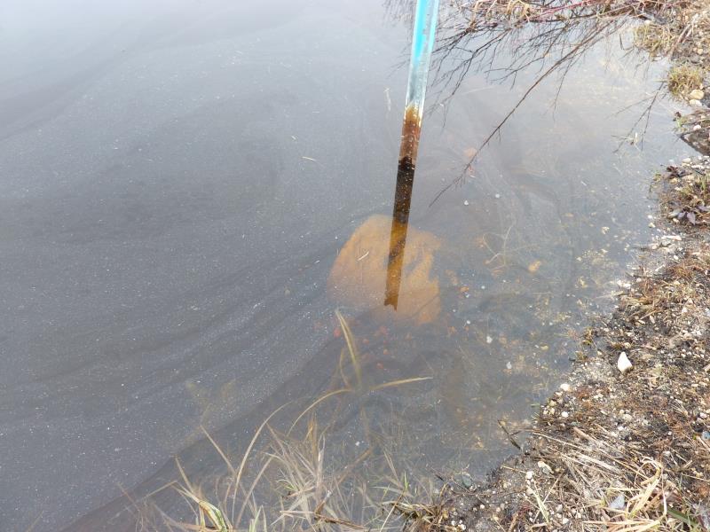
Upstream Conditions
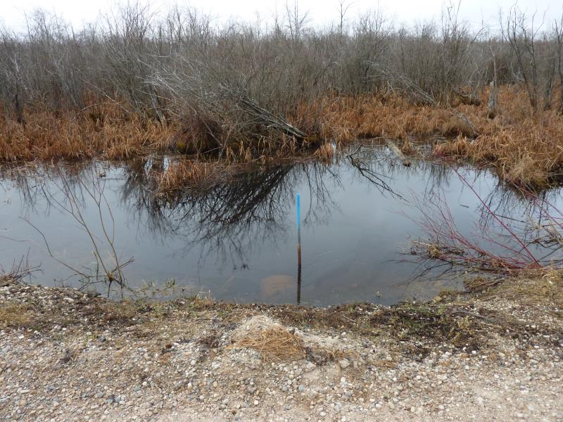
Downstream Conditions
Road Approach - Left
Road Approach - Right
Crossing Information
Type of Crossing: culvert(s)
Number of Structures: 1
Structure Shape: Ellipse
Inlet Type: Projecting
Outlet Type: At Stream Grade
Structure Material: Metal
Structure Substrate: Mixture
General Conditions: Good
Structure Interior: corrugated
Dimensions of Structure: Length 32 ft.
, Width 1.3 ft.
, Height 1.5 ft.
Structure is NOT Perched
Structure Inlet
Water Depth: 1.5 ft.
Embedded Depth of Structure: 0 ft.
Water Velocity*: 0 ft./sec.
Structure Outlet
Water Depth: 1.5 ft.
Embedded Depth of Structure: 0 ft.
Water Velocity*: 0 ft./sec.
*Water Velocities were measured at the Surface
(with Float Test)
Stream Information
Stream Flow: Bankfull
Scour Pool: Length 18 ft.
, Width 15 ft.
, Depth 3.4 ft.
Upstream Pond: Length 18 ft.
, Width 16 ft.
, Depth 3.4 ft.
Riffle Information
Water Depth: 0 ft.
Bankfull Width: 0 ft.
Wetted Width: 0 ft.
Water Velocity: 0 ft./sec.
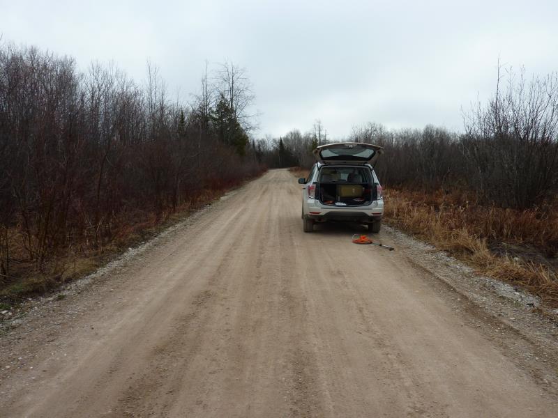
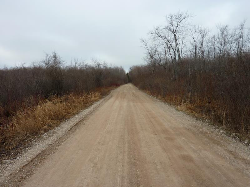
Road Information
Gravel
County Road
Road Condition: Fair
Road Width at Culvert: 12 ft.
Location of Low Point: Other
Runoff Path: Ditch
Embankments
Upstream
Fill Depth: 1.5 ft.
Slope: More than 1:2
Downstream
Fill Depth: 2 ft.
Slope: More than 1:2
Approaches
Left Approach
Length: 0 ft.
Slope: Less Than 1%
Vegetation: Heavy
LS Factor: 0.05
Erosion: 0 tons/year
Right Approach
Length: 0 ft.
Slope: Less Than 1%
Vegetation: Heavy
LS Factor: 0.05
Erosion: 0 tons/year
Erosion Information
Total Erosion at Crossing: 0 tons/year
Summary Information
Fish Passability 0.9
�