Road Stream Crossing Site CLHW_MC-002
Mill Creek Watershed, Mill Creek
Potter Rd
Hebron Twp,
Cheboygan County
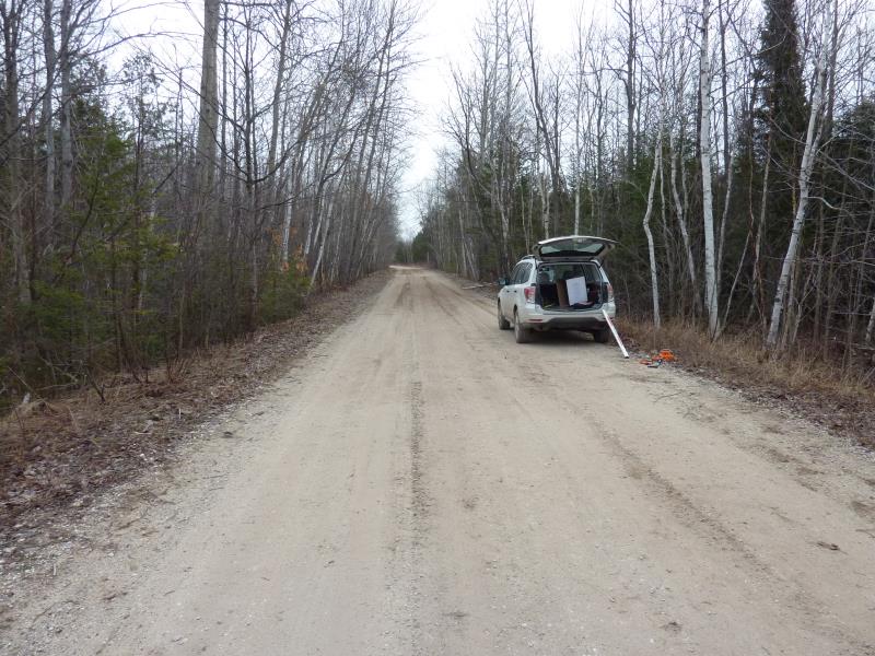
Information collected by:
Site Location
GPS Coordinates: 45.71875
, -84.68814
T38N
R3W
Sec 4
Owned by State
Fish Passability 0.5
Structure is NOT Perched
Total Erosion: 0.6443 tons/year
Severity: Moderate
Year Inventoried: 2016
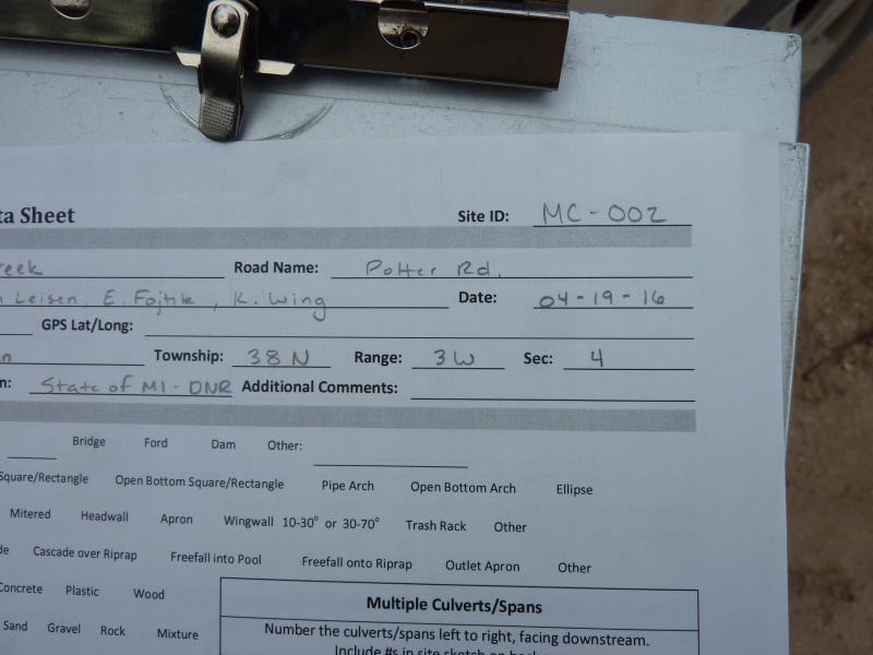
Site ID
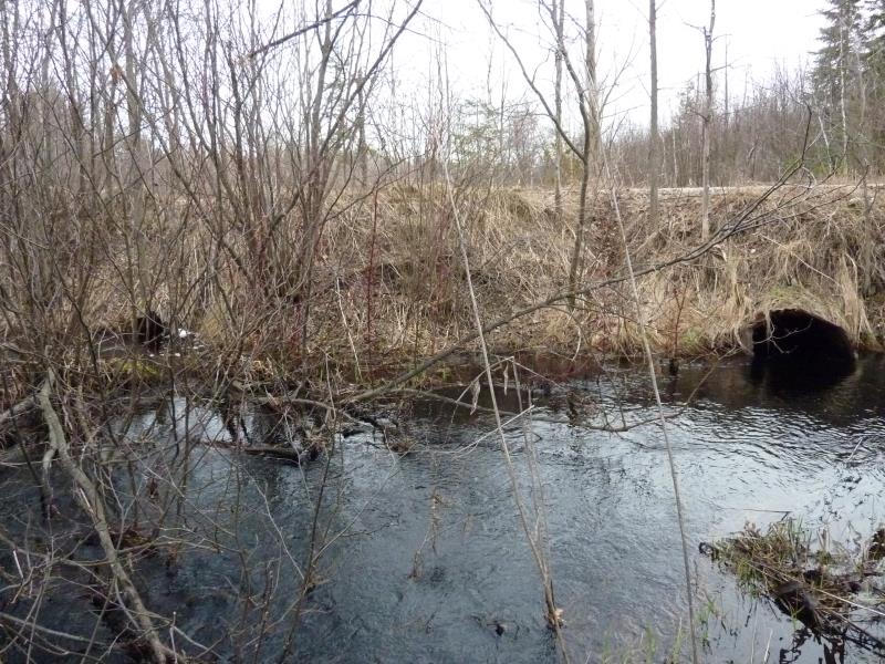
Inlet
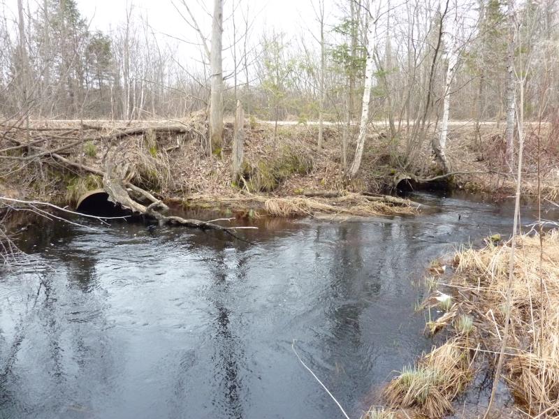
Outlet
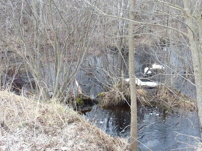
Upstream Conditions
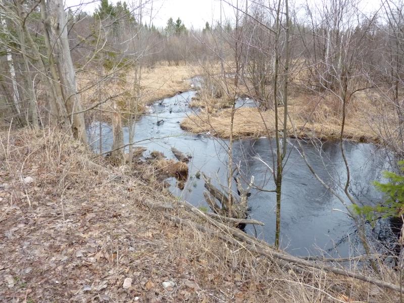
Downstream Conditions
Road Approach - Left
Road Approach - Right
Crossing Information
Type of Crossing: culvert(s)
Number of Structures: 2
Structure Shape: Round
Inlet Type: Projecting
Outlet Type: At Stream Grade
Structure Material: Metal
Structure Substrate: None
General Conditions: Poor
Multiple Culverts/Spans | ||||
Culvert/Span | Width | Length | Height | Material |
1 |
2 ft. |
32 ft. |
2 ft. |
Metal |
2 |
3 ft. |
32 ft. |
3 ft. |
Metal |
Structure Interior: corrugated
Dimensions of Structure: Length 32 ft.
, Width 3 ft.
, Height 3 ft.
Percentage Crushed:
Inlet: 1% to 25%
Outlet: 0%
In Pipe: 0%
Structure is NOT Perched
Structure Inlet
Water Depth: 1.8 ft.
Embedded Depth of Structure: 0 ft.
Water Velocity*: 1.3 ft./sec.
Structure Outlet
Water Depth: 2 ft.
Embedded Depth of Structure: 0 ft.
Water Velocity*: 1.3 ft./sec.
*Water Velocities were measured at the Surface
(with Float Test)
Stream Information
Stream Flow: Bankfull
Scour Pool: Length 24 ft.
, Width 17 ft.
, Depth 3 ft.
Upstream Pond: Length 0 ft.
, Width 0 ft.
, Depth 0 ft.
Riffle Information
Water Depth: 1.5 ft.
Bankfull Width: 9 ft.
Wetted Width: 6.2 ft.
Water Velocity: 2 ft./sec.
(Measured with Float Test)
Dominant Substrate: Gravel
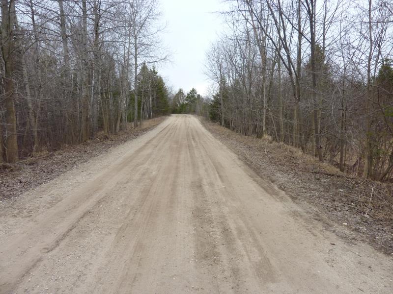
Road Information
Gravel
County Road
(Seasonal)
Road Condition: Fair
Road Width at Culvert: 15 ft.
Location of Low Point: Other
Runoff Path: Ditch
Embankments
Upstream
Fill Depth: 3 ft.
Slope: Vertical
Downstream
Fill Depth: 3.9 ft.
Slope: 1:1.5
Approaches
Left Approach
Length: 334 ft.
Slope: 1% to 5%
Vegetation: Heavy
LS Factor: 0.467
Erosion: 0.6443 tons/year
Right Approach
Length: 0 ft.
Slope: Less Than 1%
Vegetation: Heavy
LS Factor: 0.05
Erosion: 0 tons/year
Erosion Information
Total Erosion at Crossing: 0.6443 tons/year
Summary Information
Fish Passability 0.5
Fish Passage is an area of concern for this site.
Culverts have a good flow and good velocity, however the culvert is long and small. This may scare fish away from passing through the culvert.
A future visit to this site is recommended. Culvert is in poor shape; fish passage seems to be an issue at this crossing and could be improved.
These non-native species were observerd at this site: Autumn Olive, Glossy Buckthorn
�