Road Stream Crossing Site CLHW_MC-008
Mill Creek Watershed, Unnamed
Nipigon Rd
Beaugrand Twp,
Cheboygan County
Information collected by:
Site Location
GPS Coordinates: 45.69926
, -84.56145
T38N
R2W
Sec 9
Owned by Private
Fish Passability 0.5
Structure is NOT Perched
Total Erosion: 2.4221 tons/year
Severity: Moderate
Year Inventoried: 2016
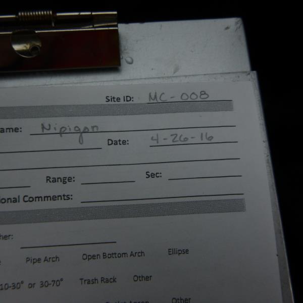
Site ID
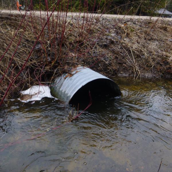
Inlet
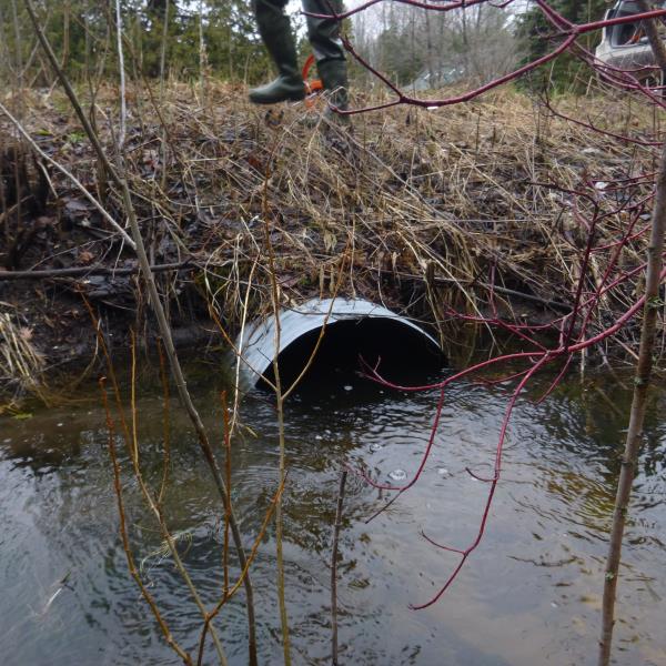
Outlet
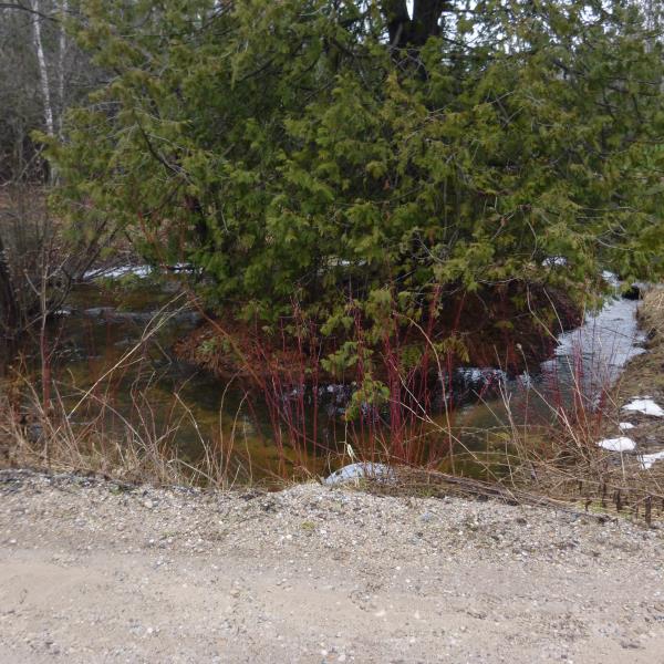
Upstream Conditions
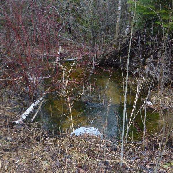
Downstream Conditions
Road Approach - Left
Road Approach - Right
Crossing Information
Type of Crossing: culvert(s)
Number of Structures: 1
Structure Shape: Round
Inlet Type: Projecting
Outlet Type: At Stream Grade
Structure Material: Metal
Structure Substrate: None
General Conditions: Fair
Structure Interior: corrugated
Dimensions of Structure: Length 37 ft.
, Width 2.6 ft.
, Height 2.6 ft.
Structure is NOT Perched
Structure Inlet
Water Depth: 1.7 ft.
Embedded Depth of Structure: 0 ft.
Water Velocity*: 1.6 ft./sec.
Structure Outlet
Water Depth: 1.9 ft.
Embedded Depth of Structure: 0 ft.
Water Velocity*: 1.6 ft./sec.
*Water Velocities were measured at the Surface
(with Float Test)
Stream Information
Stream Flow: Less than Bankfull
Scour Pool: Length 18 ft.
, Width 15 ft.
, Depth 2.3 ft.
Upstream Pond: Length 0 ft.
, Width 0 ft.
, Depth 0 ft.
Riffle Information
Water Depth: 1 ft.
Bankfull Width: 13 ft.
Wetted Width: 8 ft.
Water Velocity: 2.4 ft./sec.
(Measured with Float Test)
Dominant Substrate: Cobble
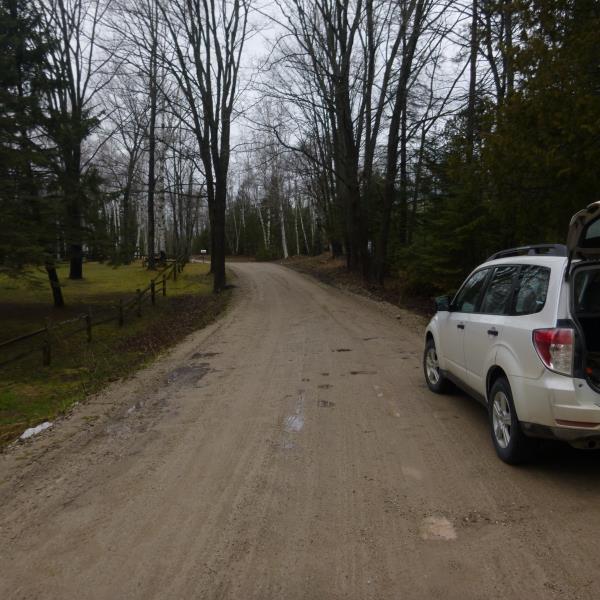
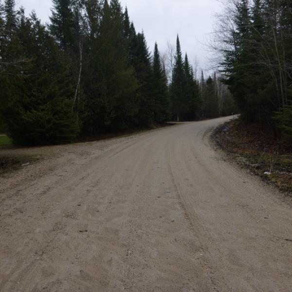
Road Information
Gravel
County Road
(Seasonal)
Road Condition: Fair
Road Width at Culvert: 17 ft.
Location of Low Point: At Stream
Runoff Path: Ditch
Embankments
Upstream
Fill Depth: 1.6 ft.
Slope: 1:2
Downstream
Fill Depth: 2 ft.
Slope: More than 1:2
Approaches
Left Approach
Length: 285 ft.
Slope: 1% to 5%
Vegetation: Partial
LS Factor: 0.541
Erosion: 0.7221 tons/year
Right Approach
Length: 550 ft.
Slope: 1% to 5%
Vegetation: Partial
LS Factor: 0.66
Erosion: 1.7 tons/year
Erosion Information
Total Erosion at Crossing: 2.4221 tons/year
Summary Information
Fish Passability 0.5
�