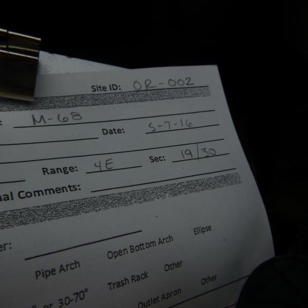
Road Stream Crossing Site CLHW_OR-002
Ocqueoc River Watershed, Silver Creek (west)
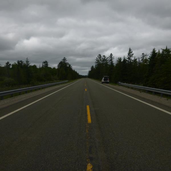
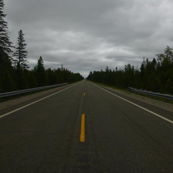
M-68
Moltke Twp,
Presque Isle County
Information collected by:
Site Location
GPS Coordinates: 45.39685
, -83.99802
T35N
R4E
Sec 19
Owned by Private
Fish Passability 0.9
Structure is NOT Perched
Total Erosion: 1.1306 tons/year
Severity: Moderate
Year Inventoried: 2016
Site ID
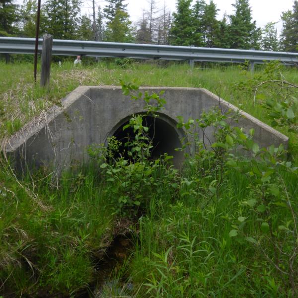
Inlet
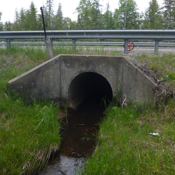
Outlet
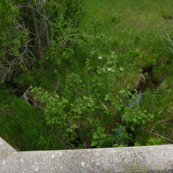
Upstream Conditions
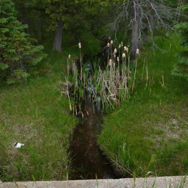
Downstream Conditions
Road Approach - Left
Road Approach - Right
Crossing Information
Type of Crossing: culvert(s)
Number of Structures: 1
Structure Shape: Round
Inlet Type: Wingwall 10-30 Degree
Outlet Type: At Stream Grade
Structure Material: Concrete
Structure Substrate: Sand
General Conditions: Good
Structure Interior: smooth
Dimensions of Structure: Length 57 ft.
, Width 4.5 ft.
, Height 4.5 ft.
Percentage Plugged:
Inlet: 26% to 50%
Outlet: 0%
In Pipe: 0%
Structure is NOT Perched
Structure Inlet
Water Depth: 0.2 ft.
Embedded Depth of Structure: 0 ft.
Water Velocity*: 0.3 ft./sec.
Structure Outlet
Water Depth: 0.3 ft.
Embedded Depth of Structure: 0 ft.
Water Velocity*: 0.3 ft./sec.
*Water Velocities were measured at the Surface
(with Float Test)
Additional Comments
Silver creek splits, however they are both referred to as Silver Creek. This one is the Silver creek to the west of the other branch.
Stream Information
Stream Flow: Less than Bankfull
Scour Pool: Length 22 ft.
, Width 9.5 ft.
, Depth 0.3 ft.
Riffle Information
Water Depth: 0.9 ft.
Bankfull Width: 4 ft.
Wetted Width: 3.4 ft.
Water Velocity: 0.2 ft./sec.
(Measured with Float Test)
Dominant Substrate: Organics
Road Information
Paved
State Road
Road Condition: Fair
Road Width at Culvert: 30 ft.
Location of Low Point: At Stream
Runoff Path: Ditch
Embankments
Upstream
Fill Depth: 1.5 ft.
Slope: More than 1:2
Downstream
Fill Depth: 0.5 ft.
Slope: More than 1:2
Approaches
Left Approach
Length: 1000 ft.
Slope: 1% to 5%
Vegetation: Heavy
LS Factor: 0.57
Erosion: 0.5653 tons/year
Right Approach
Length: 1000 ft.
Slope: 1% to 5%
Vegetation: Heavy
LS Factor: 0.57
Erosion: 0.5653 tons/year
Erosion Information
Total Erosion at Crossing: 1.1306 tons/year
Summary Information
Fish Passability 0.9
�