Road Stream Crossing Site CLHW_OR-008
Ocqueoc River Watershed, Unnamed Branch of Ocqueoc River
M-68
Case Twp,
Presque Isle County
Information collected by:
Site Location
GPS Coordinates: 45.35762
, -84.06175
T34N
R3E
Sec 3
Owned by Private
Structure is NOT Perched
Total Erosion: 1.7739 tons/year
Severity: Moderate
Year Inventoried: 2016
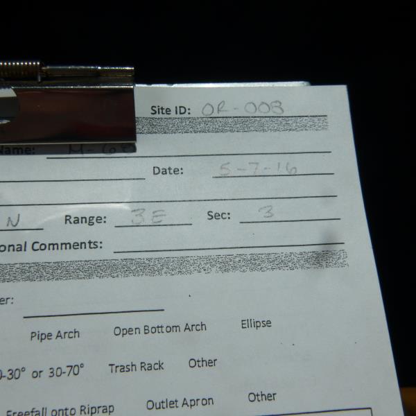
Site ID
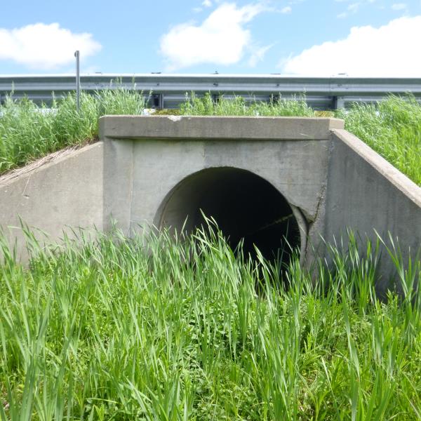
Inlet
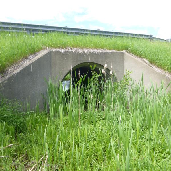
Outlet
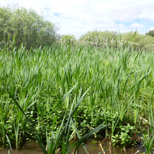
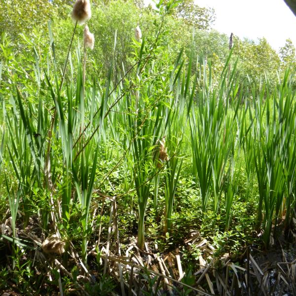
Upstream Conditions
Downstream Conditions
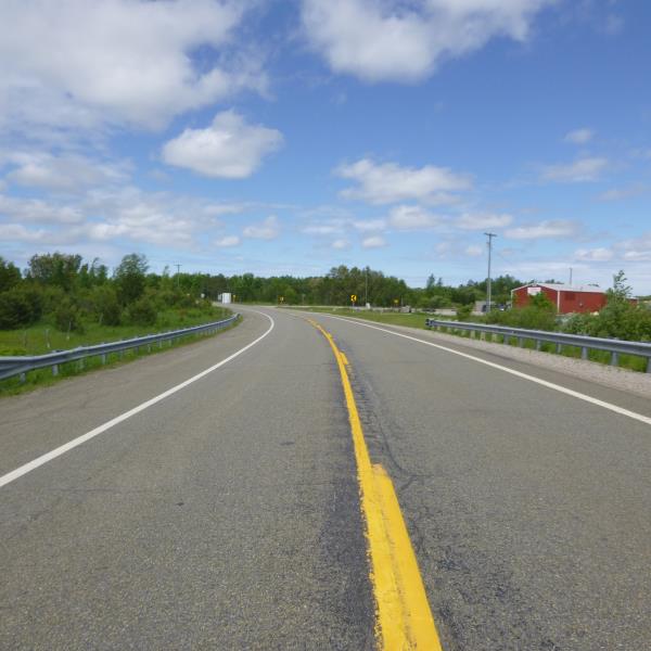
Road Approach - Left
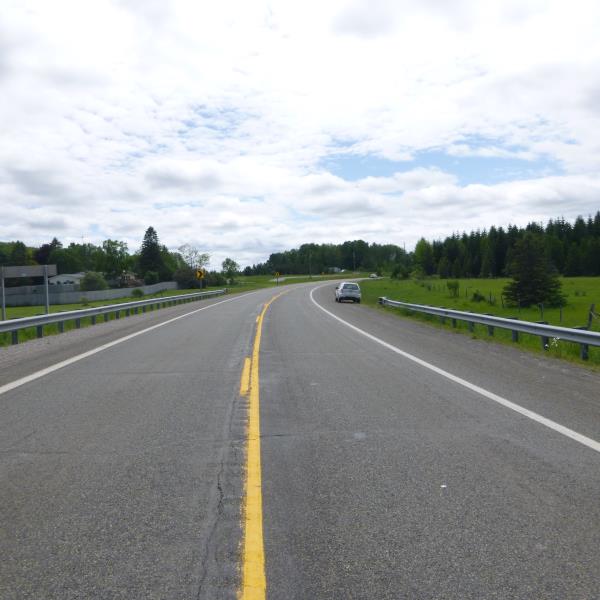
Road Approach - Right
Crossing Information
Type of Crossing: culvert(s)
Number of Structures: 1
Structure Shape: Round
Inlet Type: Wingwall 10-30 Degree
Outlet Type: At Stream Grade
Structure Material: Concrete
Structure Substrate: None
General Conditions: Fair
Structure Interior: smooth
Dimensions of Structure: Length 60 ft.
, Width 6.7 ft.
, Height 6.7 ft.
Percentage Plugged:
Inlet: 76% to 100%
Outlet: 76% to 100%
In Pipe: 0%
Percentage Crushed:
Inlet: 1% to 25%
Outlet: 0%
In Pipe: 0%
Structure is NOT Perched
Structure Inlet
Water Depth: 1.4 ft.
Embedded Depth of Structure: 0 ft.
Water Velocity*: 0.1 ft./sec.
Structure Outlet
Water Depth: 1.2 ft.
Embedded Depth of Structure: 0 ft.
Water Velocity*: 0.1 ft./sec.
*Water Velocities were measured at the Surface
(with Float Test)
Stream Information
Stream Flow: None
Road Information
Paved
State Road
Road Condition: Good
Road Width at Culvert: 41 ft.
Location of Low Point: At Stream
Runoff Path: Ditch
Fill Depth: 0 ft.
Slope: Vertical
Fill Depth: 0 ft.
Slope: Vertical
Approaches
Left Approach
Length: 1000 ft.
Slope: 1% to 5%
Vegetation: Heavy
LS Factor: 0.57
Erosion: 0.7726 tons/year
Right Approach
Length: 1000 ft.
Slope: 1% to 5%
Vegetation: Heavy
LS Factor: 0.57
Erosion: 0.7726 tons/year
Erosion Information
Total Erosion at Crossing: 1.7739 tons/year
Extent of Erosion: Severe
Notes: Erosion has created a large hole about culvert, could cause a futre collapse/failure if not addressed
Location of Erosion | Erosion Dimensions | Eroded Material | Material Eroded | Total Erosion | ||
facing downstream | Length | Width | Depth | Reaching Stream? | (tons/year) | |
Left Upstream Embankment |
5.2 ft. |
2.5 ft. |
2.2 ft. |
yes |
Gravel |
0.2288 |
Summary Information
Erosion is an area of concern for this site.
This is not priority stream for fish passage but erosion should be addressed
�