Road Stream Crossing Site CLHW_OR-013
Ocqueoc River Watershed, Ocqueoc River
W 638 Hwy
Bismarck Twp,
Presque Isle County
Information collected by:
Site Location
GPS Coordinates: 45.31472
, -84.00601
T34N
R4E
Sec 19
Owned by Private
Structure is NOT Perched
Total Erosion: 2.1686 tons/year
Severity: Moderate
Year Inventoried: 2016

Site ID
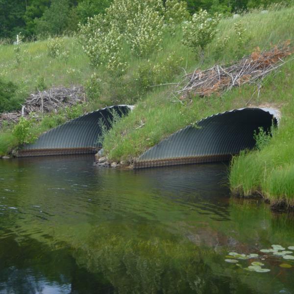
Inlet
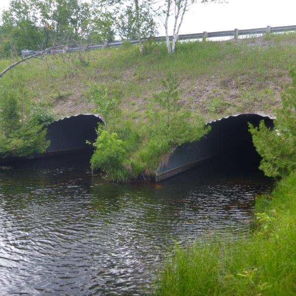
Outlet
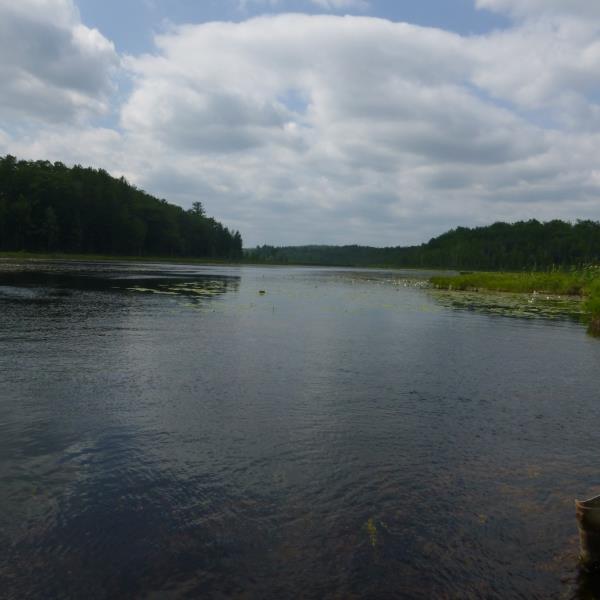
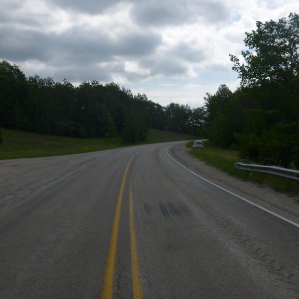
Upstream Conditions
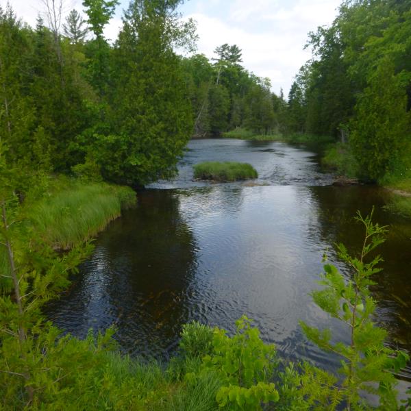
Downstream Conditions
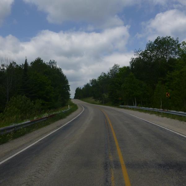
Road Approach - Left
Road Approach - Right
Crossing Information
Type of Crossing: culvert(s)
Number of Structures: 2
Structure Shape: Pipe Arch
Inlet Type: Mitered
Outlet Type: At Stream Grade
Structure Material: Metal
Structure Substrate: Rock
General Conditions: New
Multiple Culverts/Spans | ||||
Culvert/Span | Width | Length | Height | Material |
1 |
13 ft. |
92 ft. |
7.7 ft. |
Metal |
2 |
13 ft. |
92 ft. |
7.7 ft. |
Metal |
Structure Interior: corrugated
Dimensions of Structure: Length 92 ft.
, Width 13 ft.
, Height 7.7 ft.
Structure is NOT Perched
Structure Inlet
Water Depth: 1.4 ft.
Embedded Depth of Structure: 0.5 ft.
Water Velocity*: 0.5 ft./sec.
Structure Outlet
Water Depth: 1.8 ft.
Embedded Depth of Structure: 0.5 ft.
Water Velocity*: 0.5 ft./sec.
*Water Velocities were measured at the Surface
(with Float Test)
Additional Comments
Between Lower Barnhart Lake and Lake Nettie; Riffle unavailble because of 'lake' type crossing
Stream Information
Stream Flow: Less than Bankfull
Road Information
Paved
County Road
Road Condition: Good
Road Width at Culvert: 32 ft.
Location of Low Point: At Stream
Runoff Path: Ditch
Embankments
Upstream
Fill Depth: 12 ft.
Slope: 1:2
Downstream
Fill Depth: 13.5 ft.
Slope: 1:2
Approaches
Left Approach
Length: 1000 ft.
Slope: 6% to 10%
Vegetation: Heavy
LS Factor: 2.05
Erosion: 2.1686 tons/year
Right Approach
Length: 0 ft.
Slope: Less Than 1%
Vegetation: Heavy
LS Factor: 0.05
Erosion: 0 tons/year
Erosion Information
Total Erosion at Crossing: 2.1686 tons/year
Summary Information
�