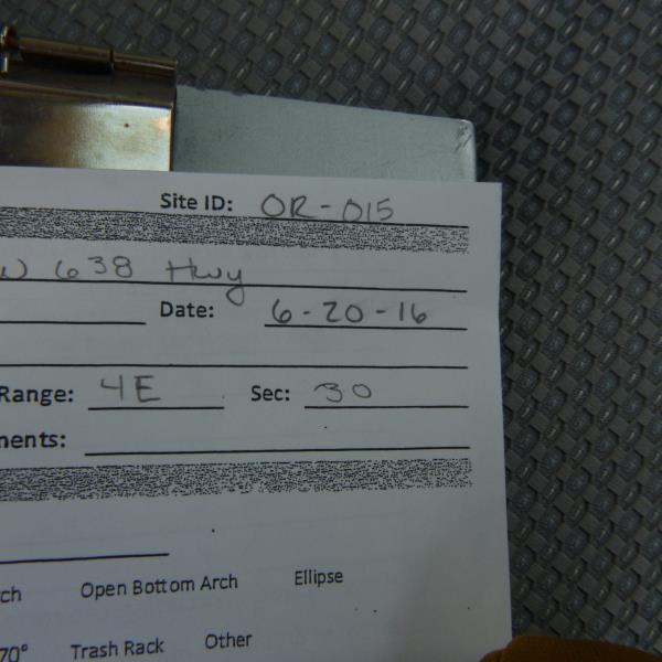
Road Stream Crossing Site CLHW_OR-015
Ocqueoc River Watershed, Unnamed Branch of Ocqueoc River
W 638 Hwy
Bismarck Twp,
Presque Isle County
Information collected by:
Site Location
GPS Coordinates: 45.31334
, -84.00232
T34N
R4E
Sec 30
Owned by Private
Structure is NOT Perched
Total Erosion: 0.076 tons/year
Severity: Minor
Year Inventoried: 2016
Site ID
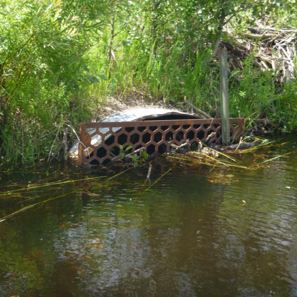
Inlet
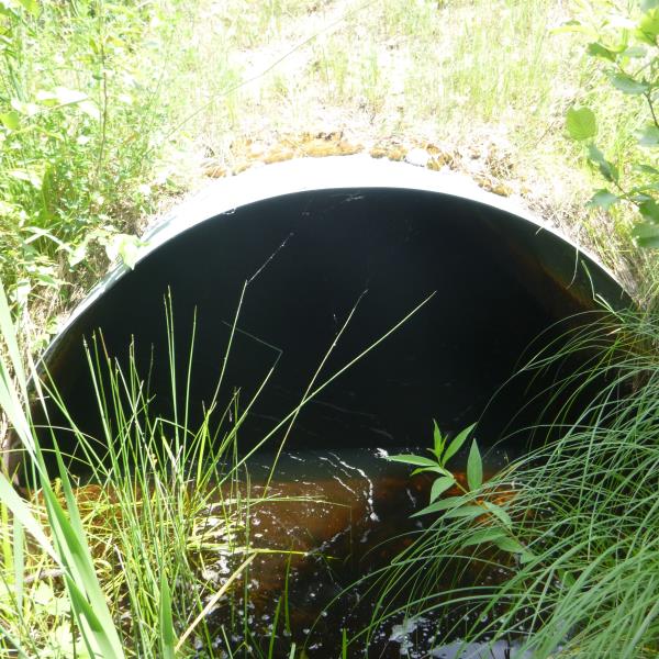
Outlet
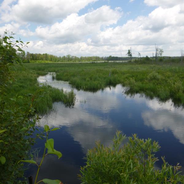
Upstream Conditions
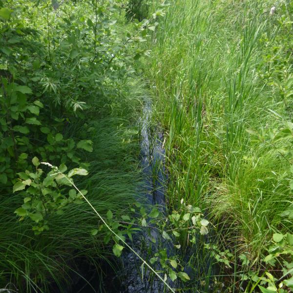
Downstream Conditions
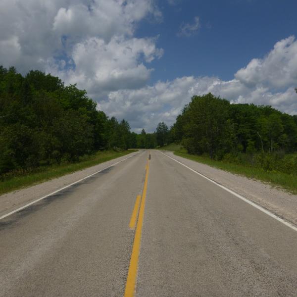
Road Approach - Left

Road Approach - Right
Crossing Information
Type of Crossing: culvert(s)
Number of Structures: 1
Structure Shape: Pipe Arch
Inlet Type: Projecting
Outlet Type: At Stream Grade
Structure Material: Metal
Structure Substrate: None
General Conditions: Good
Structure Interior: corrugated
Dimensions of Structure: Length 84 ft.
, Width 6 ft.
, Height 4.2 ft.
Structure is NOT Perched
Structure Inlet
Water Depth: 2.3 ft.
Embedded Depth of Structure: 0 ft.
Water Velocity*: 0.5 ft./sec.
Structure Outlet
Water Depth: 0.6 ft.
Embedded Depth of Structure: 0 ft.
Water Velocity*: 0.5 ft./sec.
*Water Velocities were measured at the Surface
(with Float Test)
Stream Information
Stream Flow: Less than 1/2 Bankfull
Riffle Information
Water Depth: 0.4 ft.
Bankfull Width: 38 ft.
Wetted Width: 7 ft.
Water Velocity: 0.2 ft./sec.
(Measured with Float Test)
Dominant Substrate: Sand
Road Information
Paved
County Road
Road Condition: Good
Road Width at Culvert: 23 ft.
Location of Low Point: At Stream
Runoff Path: Ditch
Embankments
Upstream
Fill Depth: 9 ft.
Slope: 1:2
Downstream
Fill Depth: 10 ft.
Slope: 1:2
Approaches
Left Approach
Length: 1000 ft.
Slope: Less Than 1%
Vegetation: Heavy
LS Factor: 0.05
Erosion: 0.038 tons/year
Right Approach
Length: 1000 ft.
Slope: Less Than 1%
Vegetation: Heavy
LS Factor: 0.05
Erosion: 0.038 tons/year
Erosion Information
Total Erosion at Crossing: 0.076 tons/year
Extent of Erosion: Moderate
Summary Information
Erosion is an area of concern for this site.
�