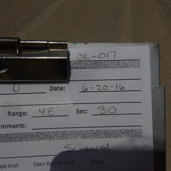
Road Stream Crossing Site CLHW_OR-017
Ocqueoc River Watershed, Unnamed stream
Big Cut Hwy
Bismarck Twp,
Presque Isle County
Information collected by:
Site Location
GPS Coordinates: 45.31155
, -83.9957
Owned by Private
Structure is NOT Perched
Total Erosion: 0 tons/year
Severity: Minor
Year Inventoried: 2016
Site ID
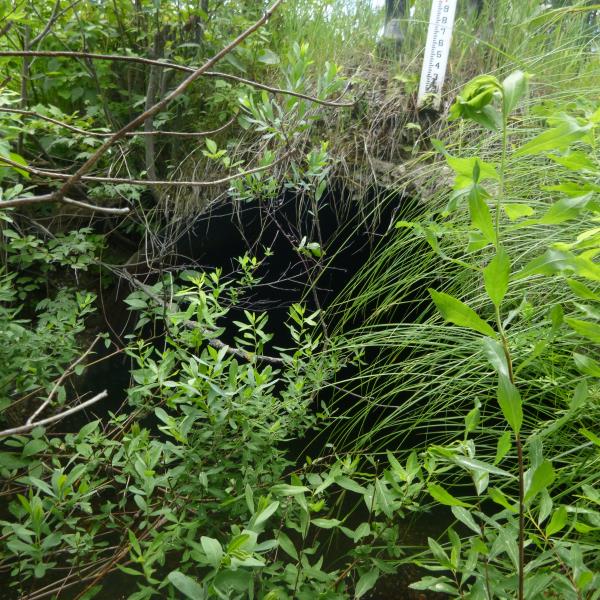
Inlet
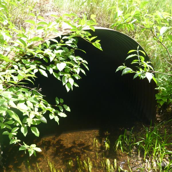
Outlet
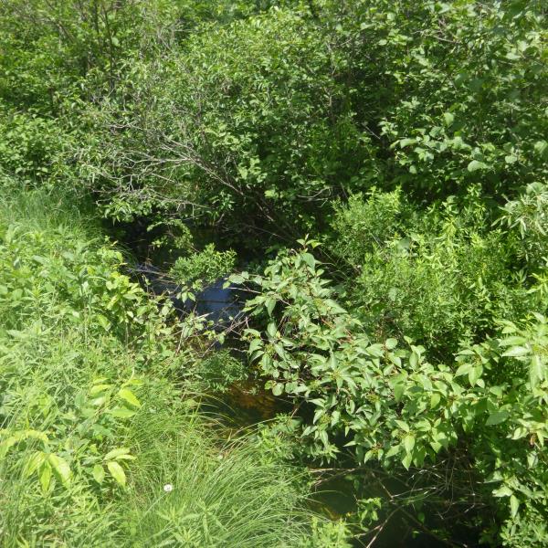
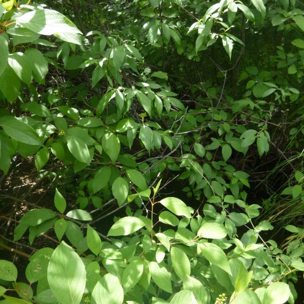
Upstream Conditions
Downstream Conditions
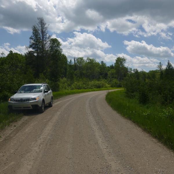
Road Approach - Left
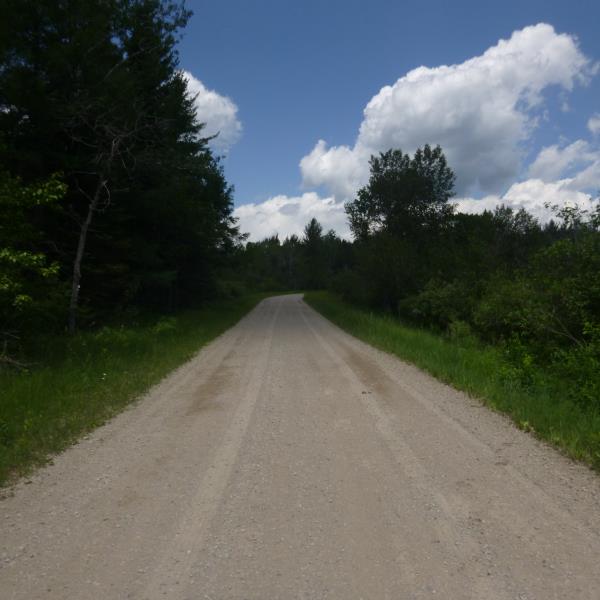
Road Approach - Right
Crossing Information
Type of Crossing: culvert(s)
Number of Structures: 1
Structure Shape: Pipe Arch
Inlet Type: Projecting
Outlet Type: At Stream Grade
Structure Material: Metal
Structure Substrate: Sand
General Conditions: Poor
Structure Interior: corrugated
Structure is Rusted through
Dimensions of Structure: Length 27 ft.
, Width 6 ft.
, Height 3.6 ft.
Structure is NOT Perched
Structure Inlet
Water Depth: 0.35 ft.
Embedded Depth of Structure: 0.3 ft.
Water Velocity*: 0.3 ft./sec.
Structure Outlet
Water Depth: 0.3 ft.
Embedded Depth of Structure: 0.3 ft.
Water Velocity*: 0.3 ft./sec.
*Water Velocities were measured at the Surface
(with Float Test)
Additional Comments
Too overgrown to obtain riffle
Stream Information
Stream Flow: Less than 1/2 Bankfull
Road Information
Gravel
County Road
Road Condition: Fair
Road Width at Culvert: 16 ft.
Location of Low Point: At Stream
Runoff Path: Ditch
Embankments
Upstream
Fill Depth: 1.5 ft.
Slope: Vertical
Downstream
Fill Depth: 0.8 ft.
Slope: Vertical
Approaches
Left Approach
Length: 0 ft.
Slope: Less Than 1%
Vegetation: Heavy
LS Factor: 0.05
Erosion: 0 tons/year
Right Approach
Length: 0 ft.
Slope: Less Than 1%
Vegetation: Heavy
LS Factor: 0.05
Erosion: 0 tons/year
Erosion Information
Total Erosion at Crossing: 0 tons/year
Summary Information
�