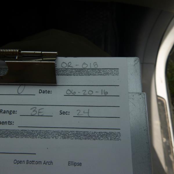
Road Stream Crossing Site CLHW_OR-018
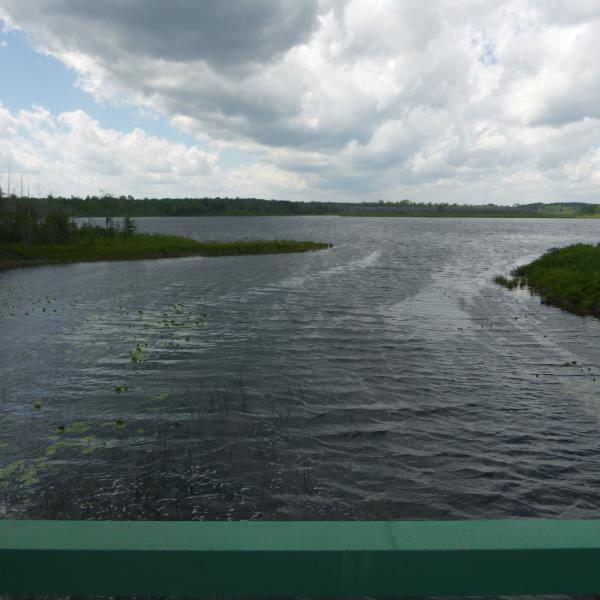
Ocqueoc River Watershed, Ocqueoc River
Kelly Drive
Case Twp,
Presque Isle County
Information collected by:
Site Location
GPS Coordinates: 45.32046
, -84.01675
T34N
R3E
Sec 24
Owned by Private
Structure is NOT Perched
Total Erosion: 0 tons/year
Severity: Minor
Year Inventoried: 2016
Site ID
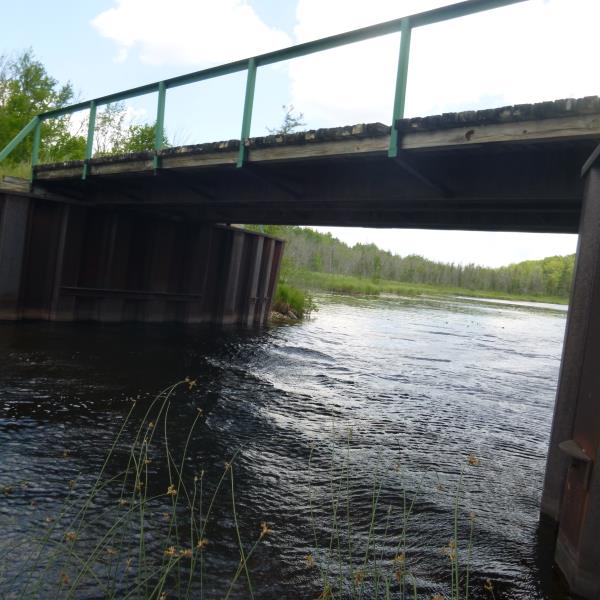
Inlet
Outlet
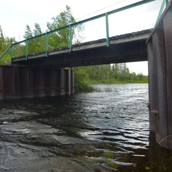
Upstream Conditions
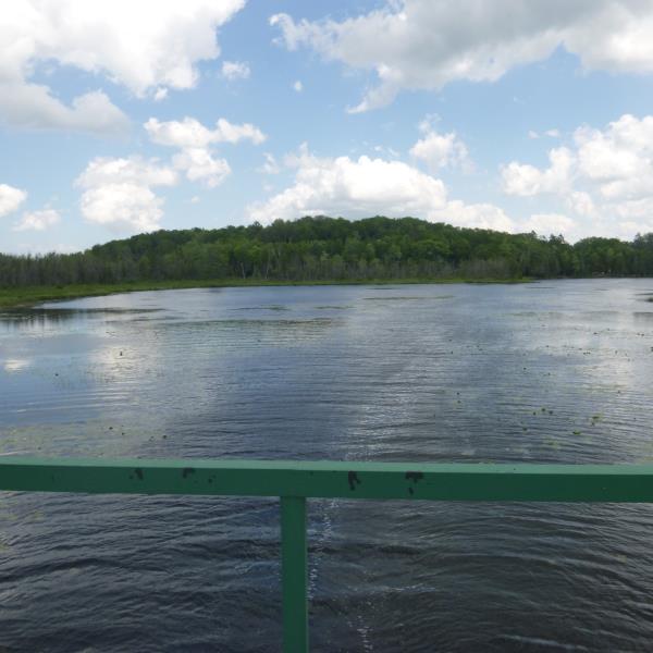
Downstream Conditions
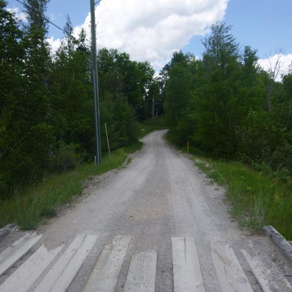
Road Approach - Left
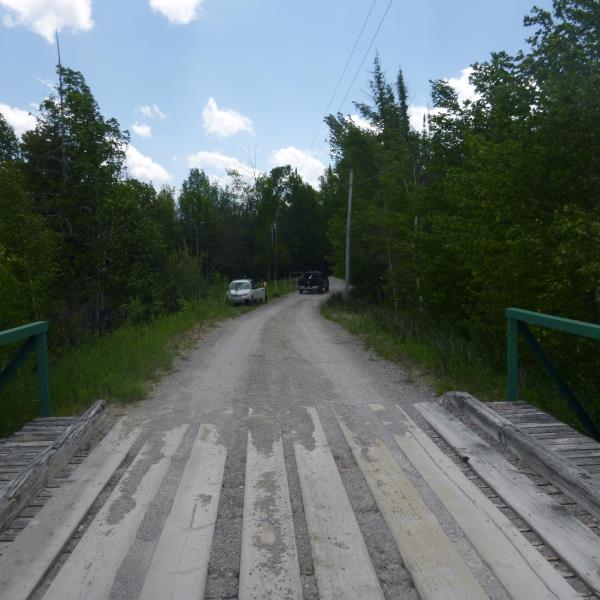
Road Approach - Right
Crossing Information
Type of Crossing: Bridge
Structure Shape: Open Bottom Square/Rectangle
Inlet Type: Wingwall 10-30 Degree
Outlet Type: At Stream Grade
Structure Material: Metal
Structure Substrate: Rock
General Conditions: Poor
Structure Interior: smooth
Dimensions of Structure: Length 15 ft.
, Width 32 ft.
, Height 13 ft.
Structure is NOT Perched
Structure Inlet
Water Depth: 3.5 ft.
Embedded Depth of Structure: 0 ft.
Structure Outlet
Water Depth: 2.9 ft.
Embedded Depth of Structure: 0 ft.
Additional Comments
Bridge between two lakes, Riffle unavaiable; 30+ mph wind
Road Information
Gravel
Private Road
Road Condition: Fair
Road Width at Culvert: 11.5 ft.
Location of Low Point: Other
Runoff Path: Ditch
Fill Depth: 0 ft.
Slope: Vertical
Fill Depth: 0 ft.
Slope: Vertical
Approaches
Left Approach
Length: 0 ft.
Slope: Less Than 1%
Vegetation: Heavy
LS Factor: 0.05
Erosion: 0 tons/year
Right Approach
Length: 0 ft.
Slope: Less Than 1%
Vegetation: Heavy
LS Factor: 0.05
Erosion: 0 tons/year
Erosion Information
Total Erosion at Crossing: 0 tons/year
Summary Information
�