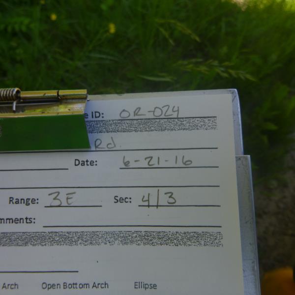
Road Stream Crossing Site CLHW_OR-024
Ocqueoc River Watershed, Unnamed stream
Corriveau Rd
Case Twp,
Presque Isle County
Information collected by:
Site Location
GPS Coordinates: 45.36582
, -84.07019
T34N
R3E
Sec 4
Owned by Private
Structure is NOT Perched
Total Erosion: 7.3725 tons/year
Severity: Severe
Year Inventoried: 2016
Site ID
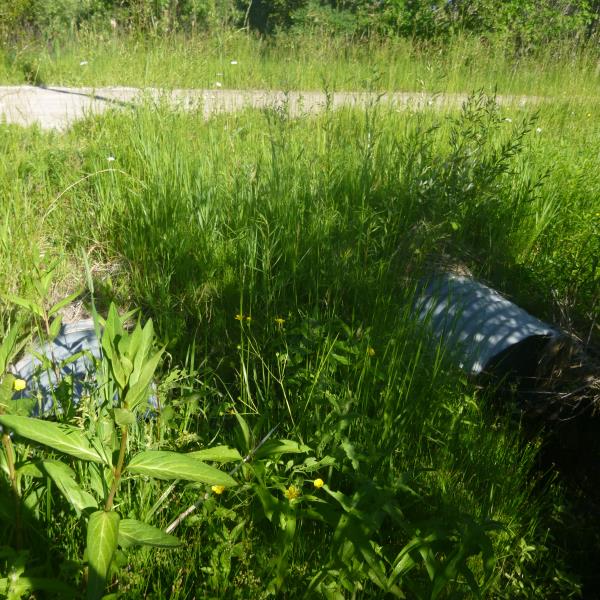
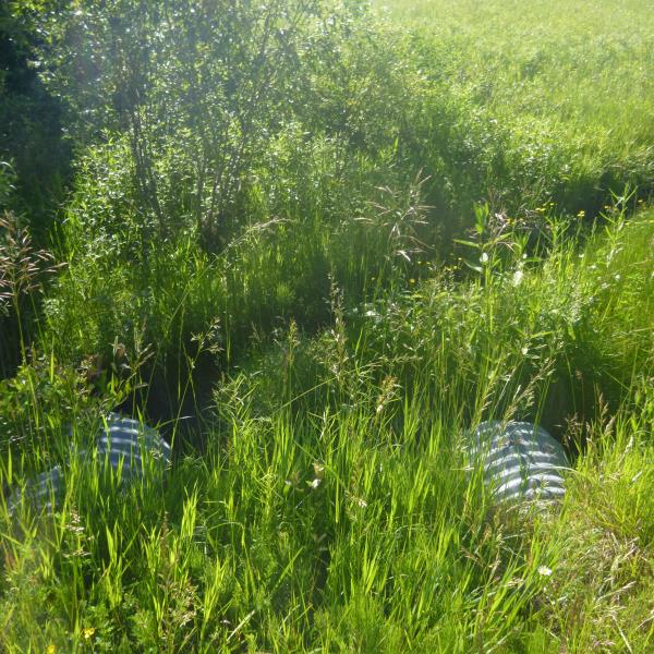
Inlet
Outlet
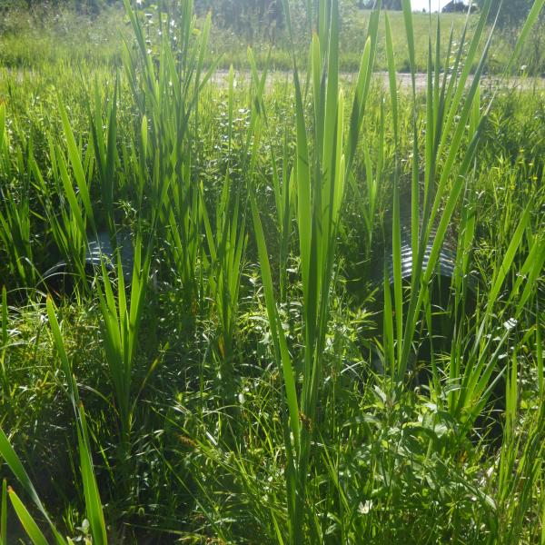
Upstream Conditions
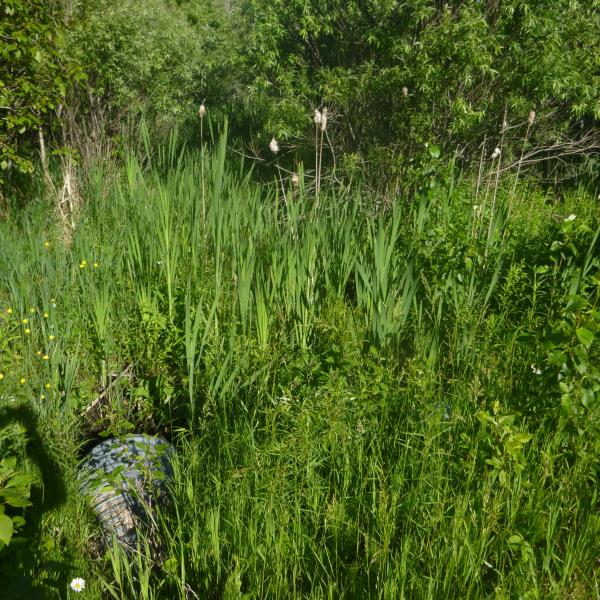
Downstream Conditions

Road Approach - Left
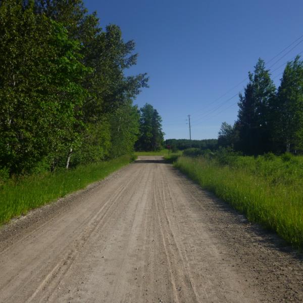
Road Approach - Right
Crossing Information
Type of Crossing: culvert(s)
Number of Structures: 2
Structure Shape: Round
Inlet Type: Projecting
Outlet Type: At Stream Grade
Structure Material: Concrete
Structure Substrate: Sand
General Conditions: Good
Multiple Culverts/Spans | ||||
Culvert/Span | Width | Length | Height | Material |
1 |
2 ft. |
40 ft. |
2 ft. |
Metal |
2 |
2 ft. |
40 ft. |
2 ft. |
Metal |
Structure Interior: corrugated
Dimensions of Structure: Length 40 ft.
, Width 2 ft.
, Height 2 ft.
Structure is NOT Perched
Water Depth: 0 ft.
Embedded Depth of Structure: 0 ft.
Water Velocity*: 0 ft./sec.
Structure Outlet
Water Depth: 0.2 ft.
Embedded Depth of Structure: 0 ft.
Water Velocity*: 0 ft./sec.
Stream Information
Stream Flow: None
Road Information
Gravel
County Road
Road Condition: Fair
Road Width at Culvert: 18 ft.
Location of Low Point: Other
Runoff Path: Ditch
Embankments
Upstream
Fill Depth: 1.2 ft.
Slope: More than 1:2
Downstream
Fill Depth: 1 ft.
Slope: More than 1:2
Approaches
Left Approach
Length: 784 ft.
Slope: 6% to 10%
Vegetation: Heavy
LS Factor: 1.896
Erosion: 7.3725 tons/year
Right Approach
Length: 0 ft.
Slope: Less Than 1%
Vegetation: Heavy
LS Factor: 0.05
Erosion: 0 tons/year
Erosion Information
Total Erosion at Crossing: 7.3725 tons/year
Summary Information
�