Road Stream Crossing Site CLHW_OR-027
Ocqueoc River Watershed, Unnamed Branch of Ocqueoc River
Ocqueoc Hwy
Ocqueoc Twp,
Presque Isle County
Information collected by:
Site Location
GPS Coordinates: 45.40212
, -84.07813
T35N
R3E
Sec 21
Owned by Private
Structure is NOT Perched
Total Erosion: 0.9273 tons/year
Severity: Minor
Year Inventoried: 2016
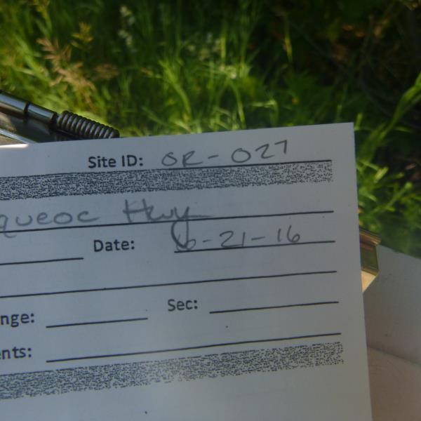
Site ID
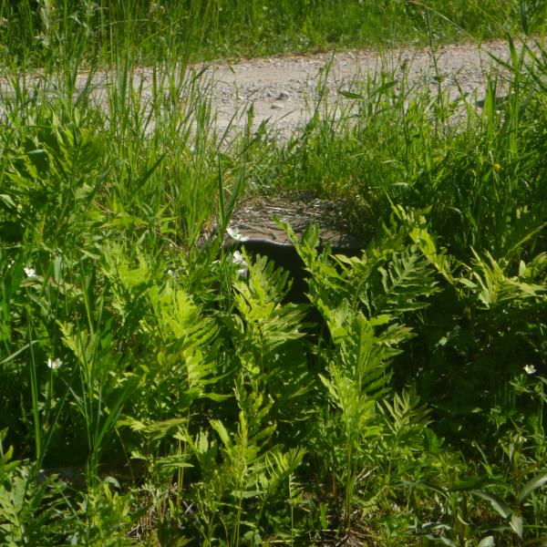
Inlet
Outlet
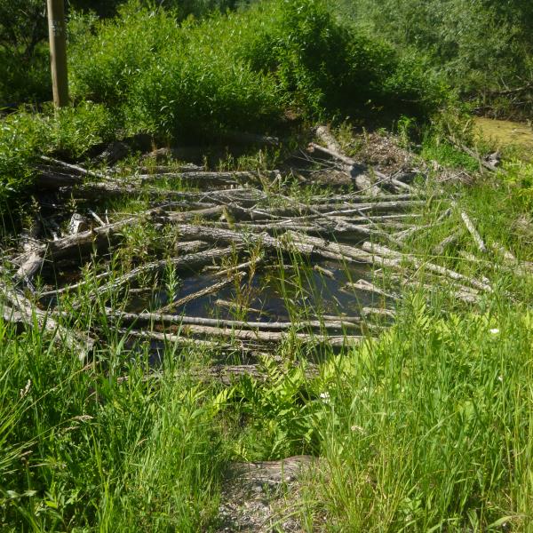
Upstream Conditions
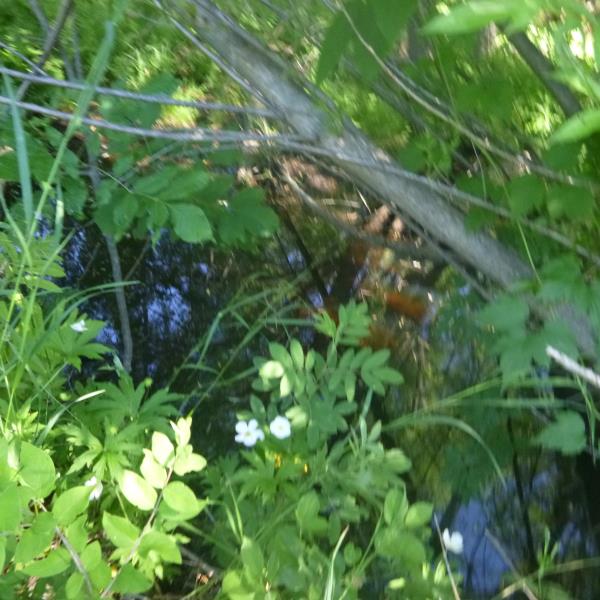
Downstream Conditions
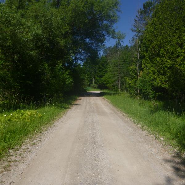
Road Approach - Left
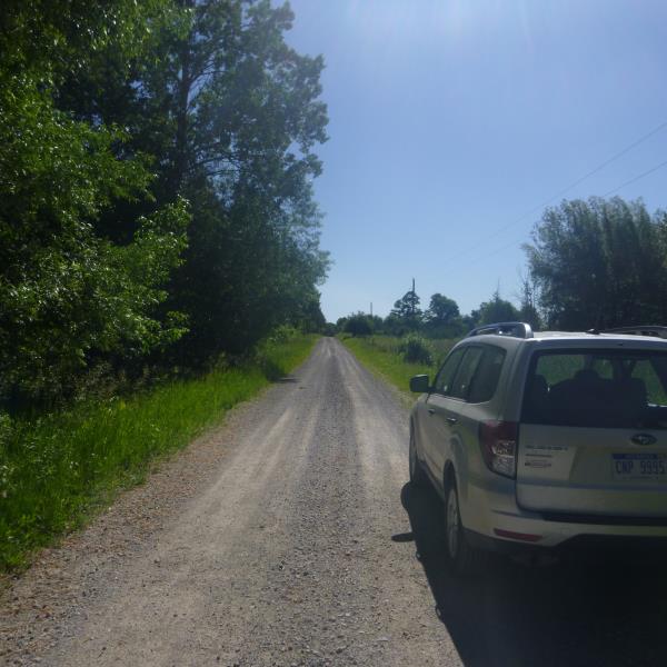
Road Approach - Right
Crossing Information
Type of Crossing: culvert(s)
Number of Structures: 2
Structure Shape: Round
Inlet Type: Projecting
Outlet Type: At Stream Grade
Structure Material: Metal
Structure Substrate: None
General Conditions: Poor
Structure Interior: corrugated
Structure is Rusted through
Dimensions of Structure: Length 24 ft.
, Width 1.8 ft.
, Height 1.4 ft.
Percentage Crushed:
Inlet: 1% to 25%
Outlet: 0%
In Pipe: 0%
Structure is NOT Perched
Water Depth: 0 ft.
Embedded Depth of Structure: 0 ft.
Water Velocity*: 0 ft./sec.
Water Depth: 0 ft.
Embedded Depth of Structure: 0 ft.
Water Velocity*: 0 ft./sec.
Additional Comments
Many large trees down on U/S side
Stream Information
Stream Flow: None
Road Information
Gravel
County Road
Road Condition: Fair
Road Width at Culvert: 12 ft.
Location of Low Point: Other
Runoff Path: Ditch
Fill Depth: 0 ft.
Fill Depth: 1.4 ft.
Slope: More than 1:2
Approaches
Left Approach
Length: 0 ft.
Slope: Less Than 1%
Vegetation: Heavy
LS Factor: 0.05
Erosion: 0 tons/year
Right Approach
Length: 550 ft.
Slope: 1% to 5%
Vegetation: Heavy
LS Factor: 0.51
Erosion: 0.9273 tons/year
Erosion Information
Total Erosion at Crossing: 0.9273 tons/year
Summary Information
�