Road Stream Crossing Site CLHW_OR-029
Ocqueoc River Watershed, Unnamed stream (part of Silver Creek)
N Silver Creek Rd
Ocqueoc Twp,
Presque Isle County
Information collected by:
Site Location
GPS Coordinates: 45.42468
, -84.03767
T35N
R3E
Sec 2
Owned by Private
Structure is NOT Perched
Total Erosion: 0.2664 tons/year
Severity: Minor
Year Inventoried: 2016
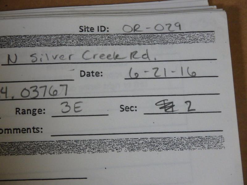
Site ID
Inlet
Outlet
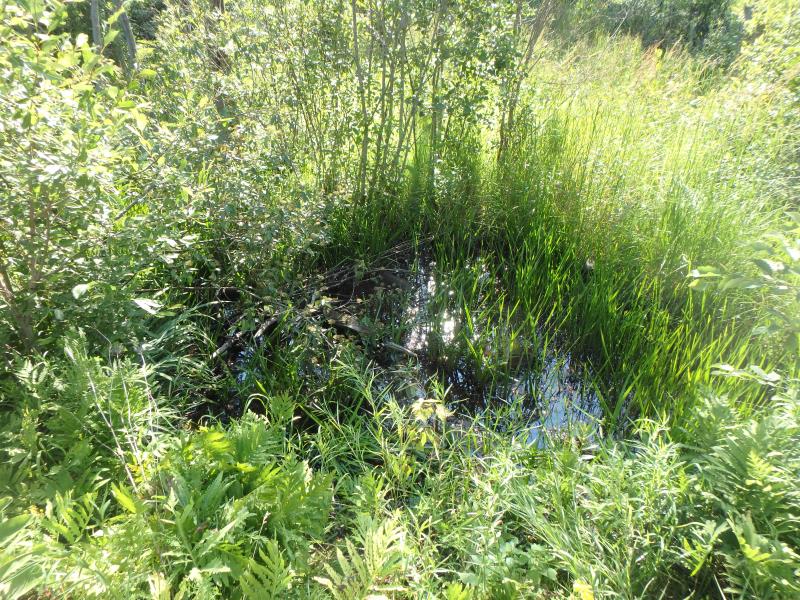
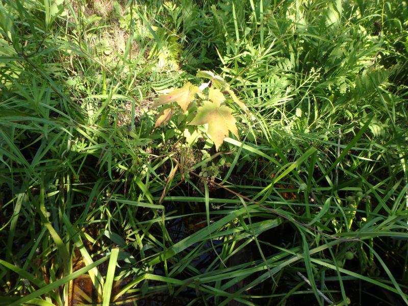
Upstream Conditions
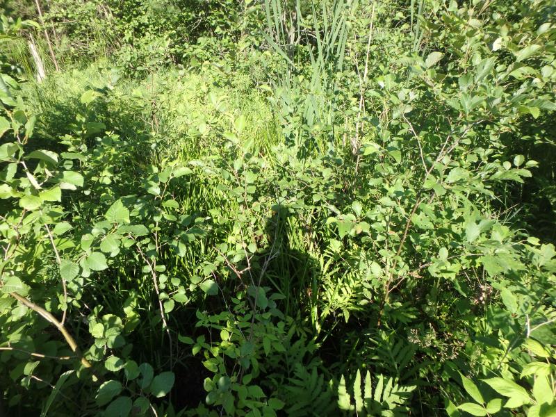
Downstream Conditions
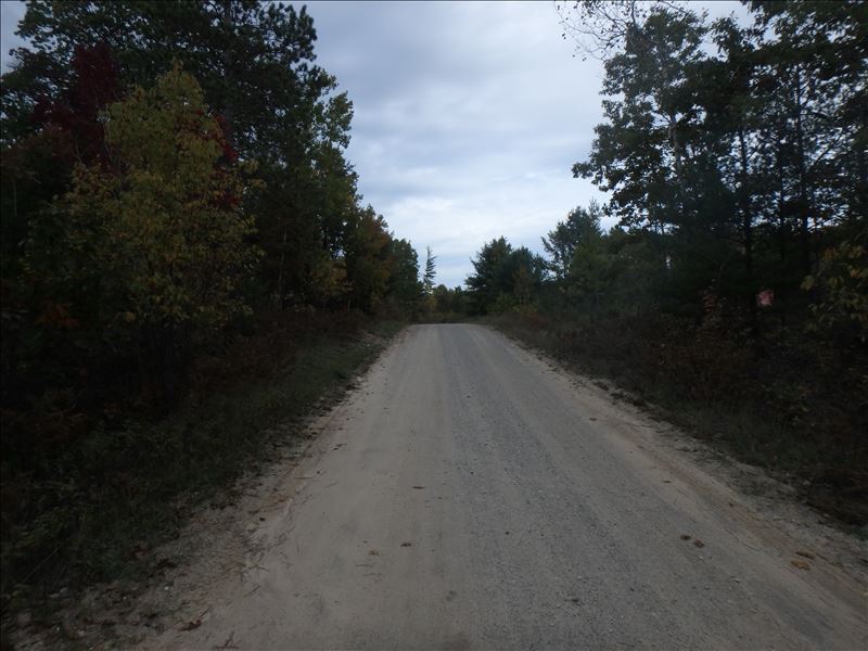
Road Approach - Right
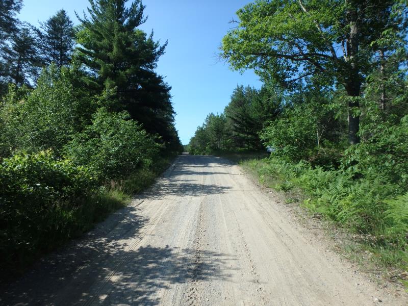
Road Approach - Left
Crossing Information
Type of Crossing: culvert(s)
Number of Structures: 1
Structure Shape: Round
Inlet Type: Projecting
Outlet Type: Freefall into Pool
Structure Material: Metal
Structure Substrate: None
General Conditions: Poor
Structure Interior: corrugated
Structure is Rusted through
Dimensions of Structure: Length 30 ft.
, Width 1 ft.
, Height 1 ft.
Percentage Crushed:
Inlet: 76% to 100%
Outlet: 0%
In Pipe: 0%
Structure is NOT Perched
Water Depth: 0 ft.
Embedded Depth of Structure: 0 ft.
Water Velocity*: 0 ft./sec.
Structure Outlet
Water Depth: 0.4 ft.
Embedded Depth of Structure: 0 ft.
Water Velocity*: 0 ft./sec.
Additional Comments
Inlet is completely sunken in, does not allow for any flow through culvert
Stream Information
Stream Flow: None
Dominant Substrate: Organics
Road Information
Gravel
County Road
Road Condition: Fair
Road Width at Culvert: 14 ft.
Location of Low Point: At Stream
Runoff Path: Ditch
Embankments
Upstream
Fill Depth: 1 ft.
Slope: 1:2
Downstream
Fill Depth: 2.8 ft.
Slope: More than 1:2
Approaches
Left Approach
Length: 82.6 ft.
Slope: 1% to 5%
Vegetation: Heavy
LS Factor: 0.366
Erosion: 0.1166 tons/year
Right Approach
Length: 102 ft.
Slope: 1% to 5%
Vegetation: Heavy
LS Factor: 0.381
Erosion: 0.1498 tons/year
Erosion Information
Total Erosion at Crossing: 0.2664 tons/year
Extent of Erosion: Moderate
Summary Information
Erosion is an area of concern for this site.
No, this is the last U/S crossing of this stream
�