Road Stream Crossing Site CLHW_OR-043
Ocqueoc River Watershed, Unnamed stream
Spens Dr
Moltke Twp,
Presque Isle County
Information collected by:
Site Location
GPS Coordinates: 45.42258
, -83.98941
T35N
R4E
Sec 18
Owned by Private
Structure is NOT Perched
Total Erosion: 2.9033 tons/year
Severity: Severe
Year Inventoried: 2016
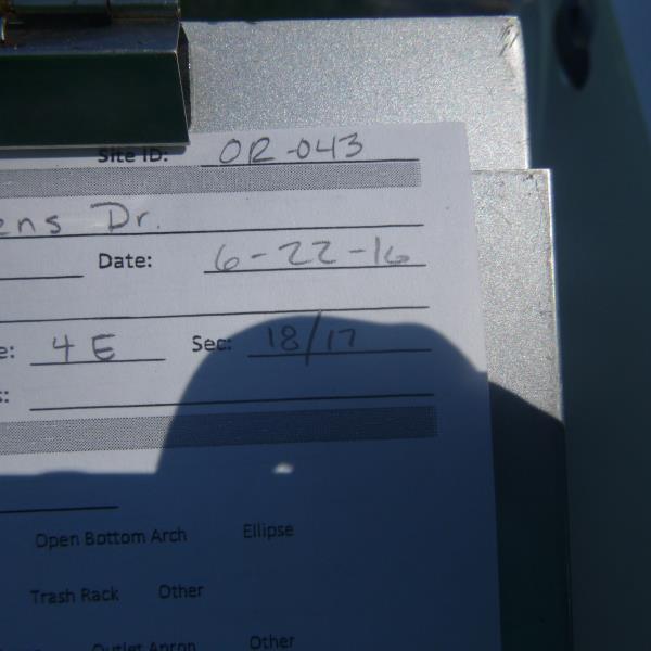
Site ID
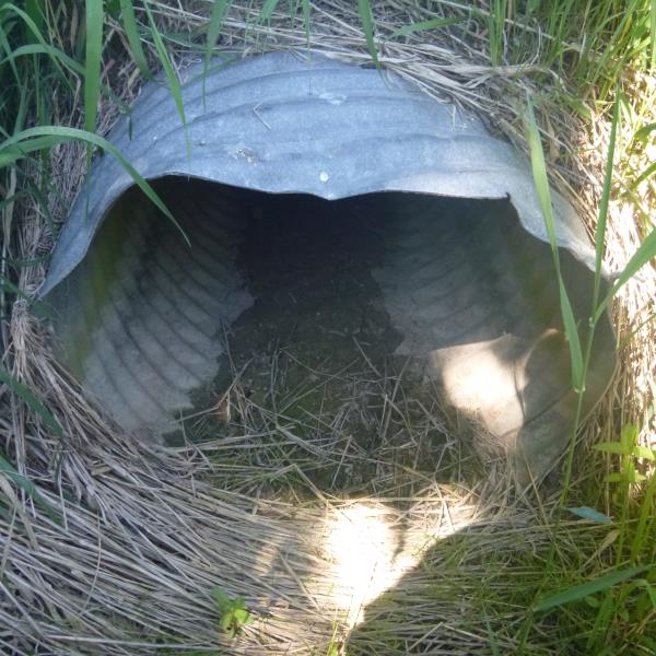
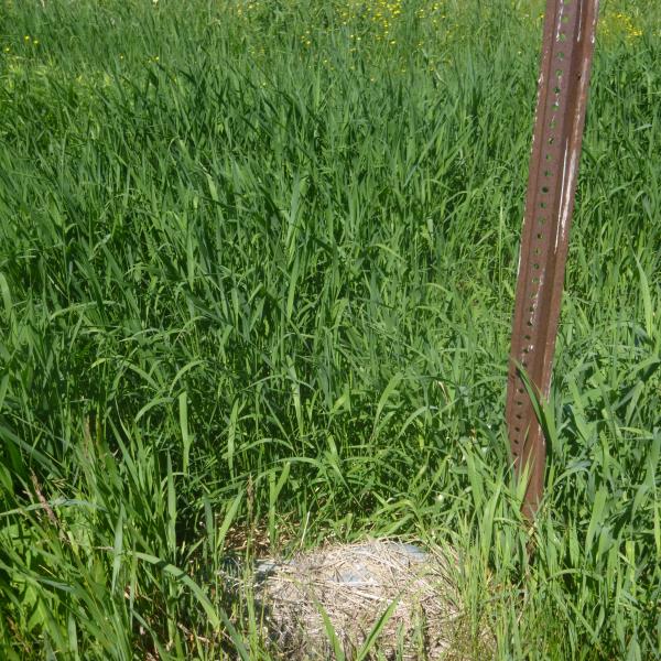
Inlet
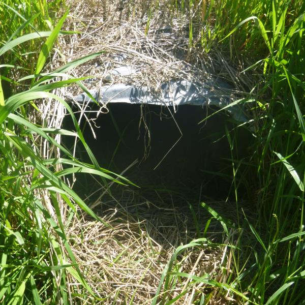
Outlet
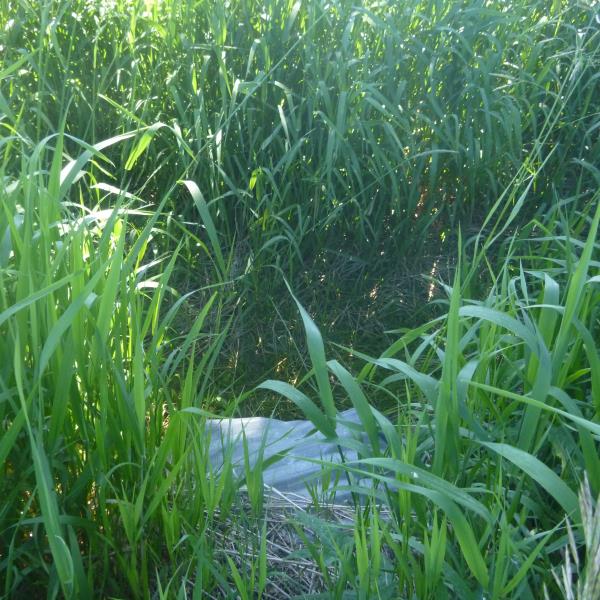
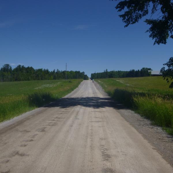
Upstream Conditions
Downstream Conditions
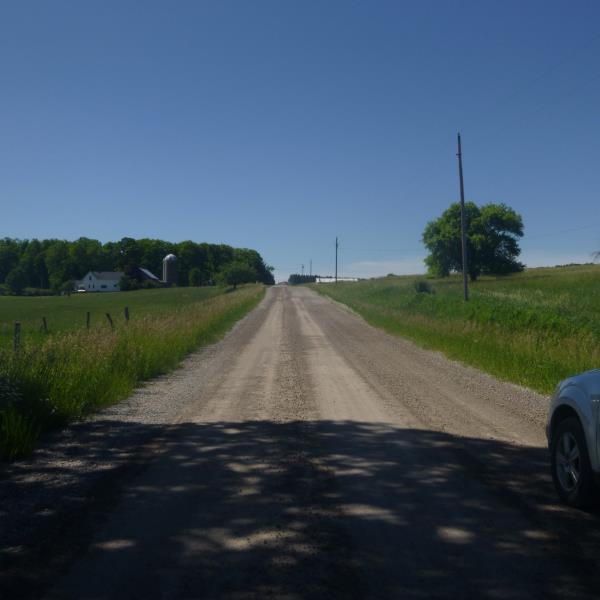
Road Approach - Left
Road Approach - Right
Crossing Information
Type of Crossing: culvert(s)
Number of Structures: 1
Structure Shape: Round
Inlet Type: Projecting
Outlet Type: Freefall into Pool
Structure Material: Metal
Structure Substrate: None
General Conditions: Poor
Structure Interior: corrugated
Structure is Rusted through
Dimensions of Structure: Length 48.5 ft.
, Width 2.5 ft.
, Height 2.2 ft.
Percentage Plugged:
Inlet: 1% to 25%
Outlet: 1% to 25%
In Pipe: 0%
Percentage Crushed:
Inlet: 1% to 25%
Outlet: 1% to 25%
In Pipe: 0%
Structure is NOT Perched
Water Depth: 0 ft.
Embedded Depth of Structure: 0 ft.
Water Velocity*: 0 ft./sec.
Water Depth: 0 ft.
Embedded Depth of Structure: 0 ft.
Water Velocity*: 0 ft./sec.
Additional Comments
No water flow, unable to measure a riffle
Road Information
Gravel
County Road
Road Condition: Fair
Road Width at Culvert: 24 ft.
Location of Low Point: At Stream
Runoff Path: Ditch
Embankments
Upstream
Fill Depth: 2 ft.
Slope: More than 1:2
Downstream
Fill Depth: 1.2 ft.
Slope: More than 1:2
Approaches
Left Approach
Length: 415 ft.
Slope: 1% to 5%
Vegetation: Heavy
LS Factor: 0.483
Erosion: 1.3253 tons/year
Right Approach
Length: 481 ft.
Slope: 1% to 5%
Vegetation: Heavy
LS Factor: 0.496
Erosion: 1.578 tons/year
Erosion Information
Total Erosion at Crossing: 2.9033 tons/year
Summary Information
�